Feature · 8 min read
How does Vancouver's North Shore fit together between the mountains and the inlet?
Every neighbourhood on Vancouver's North Shore sits on the same narrow shelf between Burrard Inlet and the mountains, and the rivers coming down off the slopes divide it into valleys. You cross it along the water and climb it up each valley.
By Adam BognarPublished
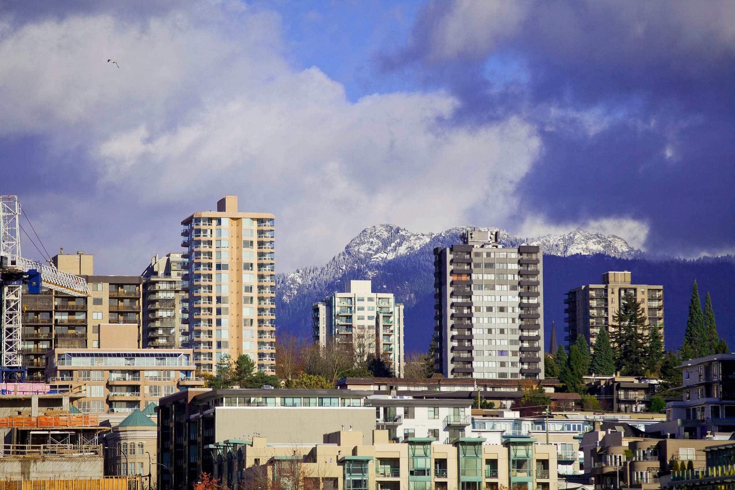
Think of Vancouver's North Shore as a long shelf of neighbourhoods between Burrard Inlet and the mountains, cut into valleys by the rivers that run south off the slopes. The SeaBus lands you in the middle of it at Lonsdale Quay, and from there you travel along the water to reach a valley and up the valley to reach its mountain. Capilano and Grouse fill the valley west of Lonsdale, with Lynn Valley to the east. Deep Cove and Mount Seymour hold the far eastern end where Indian Arm opens. West Van runs from Park Royal out to Horseshoe Bay. Going up any valley means coming back down the same road, so plan one valley a day.
We put this map together from 28 of North Van Guide's own files across the five regions, with TransLink's fall 2026 timetables and the land managers' pages read on 16 and 17 October 2026. Nobody walked the route for this piece. The figures below are the ones those files print, and each region's page carries the detail.
The City of North Vancouver acknowledges its ground as the traditional and unceded territories of the Sḵwx̱wú7mesh (Squamish) and səlilwətaɬ (Tsleil-Waututh) Nations, and both Nations have communities along this shore today.
Which part of Vancouver's North Shore suits which day?
| Region | Start from | How you get there | What it's for | The catch |
|---|---|---|---|---|
| Lonsdale and the Shipyards | Lonsdale Quay | SeaBus from Waterfront Station, 12 minutes | Food and the Shipyards | Lonsdale Avenue climbs about 260 metres from the water |
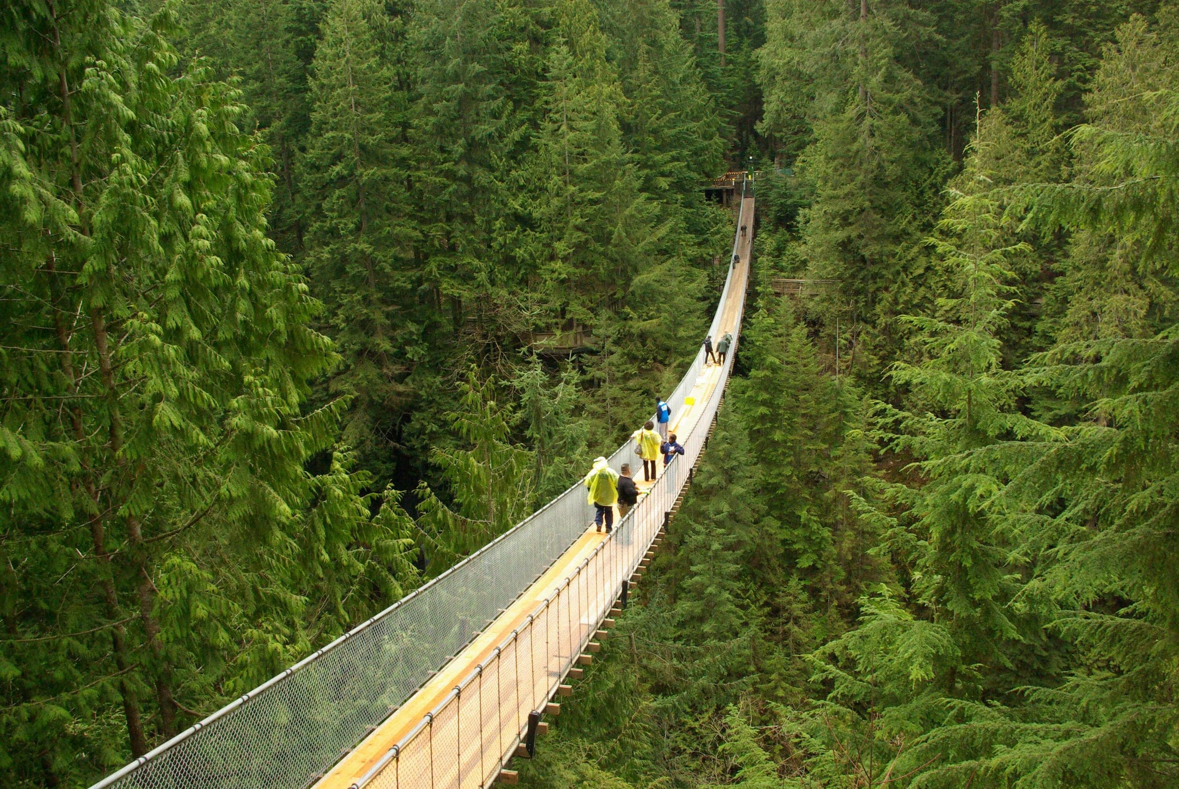
| Capilano and Grouse | Bay 6 at Lonsdale Quay | Bus 236, about 25 minutes to the Grouse base | Capilano Suspension Bridge Park and Grouse Mountain | One road up and one road down |
| Lynn Valley | Bay 2 at Lonsdale Quay | Bus 228, about 20 minutes to Lynn Valley Centre | A free canyon bridge and forest walks | Lynn Creek's pools are cold and dangerous |
| Deep Cove and Mount Seymour | Phibbs Exchange or Burrard Station | Bus 212 or 211 | Paddling Indian Arm and Quarry Rock | The last weekday through bus downtown leaves at 5:45 pm |
| West Vancouver and Cypress | Georgia Street downtown or Park Royal | Bus 250 or the R2 | Beaches and the ferry village | Cypress sits 15 km up a mountain road |

Why does everything start at Lonsdale?
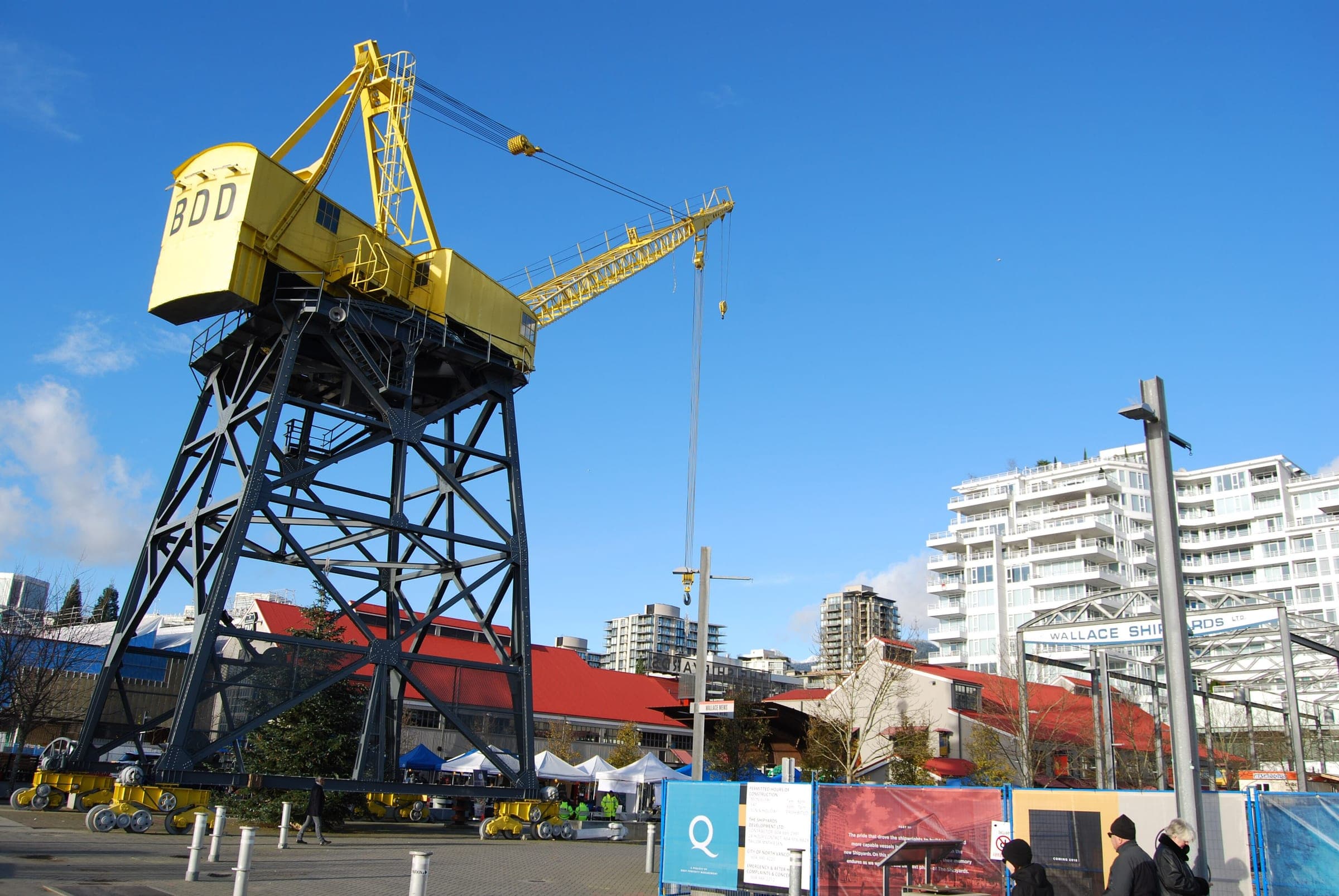
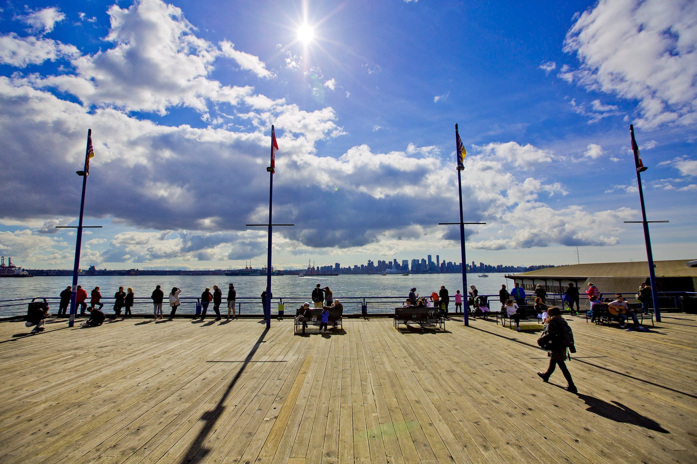
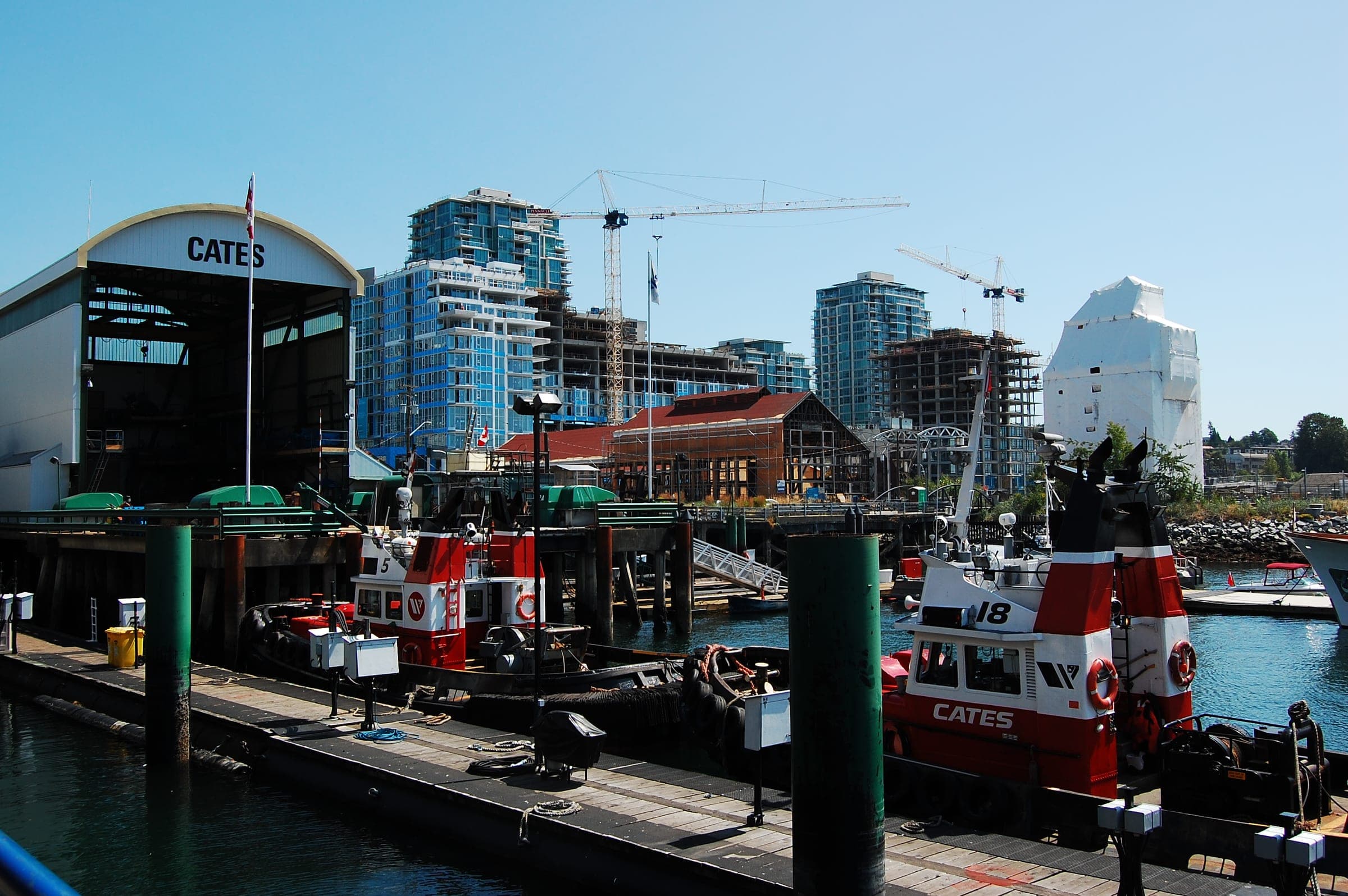
Lonsdale is where the boat comes in. The SeaBus crosses from Waterfront Station to Lonsdale Quay in 12 minutes, with a boat every 15 minutes through the day and every 10 at weekday rush hours, and the bus exchange for the valleys stands beside the terminal. Lower Lonsdale holds the market and the Shipyards, and all three of the City of North Vancouver's hotels stand there.
From the Quay, Lonsdale Avenue runs straight uphill. Lower Lonsdale gives way to Central Lonsdale at Keith Road, and Central Lonsdale is the heart of North Vancouver's Persian community. Past Highway 1 near 24th Street you're in Upper Lonsdale, which tops out at Rockland Road about 260 metres above the sea. The City hands over to the District of North Vancouver at 29th Street. Locals say North Van for both, and the line matters to you only when a parking sign or a rental rule depends on it.
How do the valleys line up from west to east?
Three rivers come down to the inlet between West Van and Indian Arm, and each one runs through a valley that a region now fills. The Capilano River runs below Grouse. Lynn Creek runs through Lynn Valley, and the Seymour River drains the next valley east. Metro Vancouver dammed the Capilano and the Seymour high up, and each of those two watersheds now supplies a third of the region's drinking water, by Metro Vancouver's count. The reservoirs behind the dams are closed to the public. You see them from Cleveland Dam and from the trails in the Lower Seymour Conservation Reserve.
Capilano and Grouse fill the westernmost of the three. Bus 236 climbs Capilano Road on the river's east bank, stops at Capilano Suspension Bridge Park about 18 to 20 minutes in and ends at the base of Grouse Mountain. The Blue Grouse Gondola takes 5.5 minutes from there to the plateau, and the summit stands at 1,231 metres. Edgemont Village is the low-rise high street on the same side of the river, and Cleveland Dam and the free Capilano River Regional Park sit higher up the road.
Lynn Valley takes its name from Sapper John Linn of the Royal Engineers, who built a house by the creek in 1869, and his surname picked up the misspelling early. The 228 from Bay 2 reaches the town centre at Lynn Valley Road and Mountain Highway, and its Peters Road stop is the one for Lynn Canyon Park. The bus line ends at Underwood Avenue and Evelyn Street, about 1.5 km from the entrance to Lynn Headwaters Regional Park, where Metro Vancouver gives the easy Lynn Loop 5.2 km and two hours return. East of the creek, the Lower Seymour Conservation Reserve covers 5,668 hectares below the Seymour Reservoir, and its paved Seymour Valley Trailway runs 10 km up the valley. Every car has to be out of the lower gate on Lillooet Road by 5 pm from November to February.

What's at the eastern end?
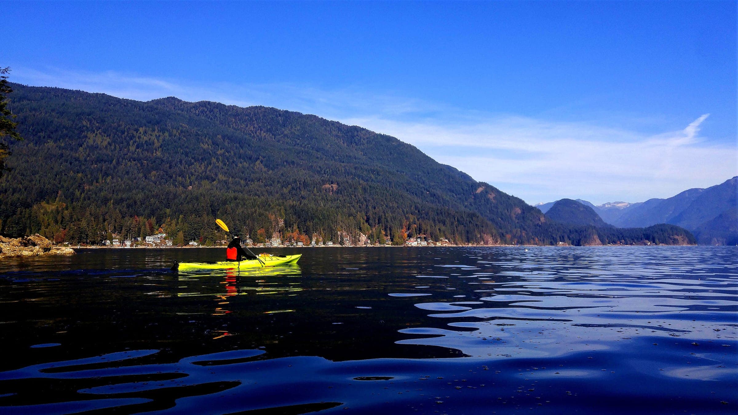
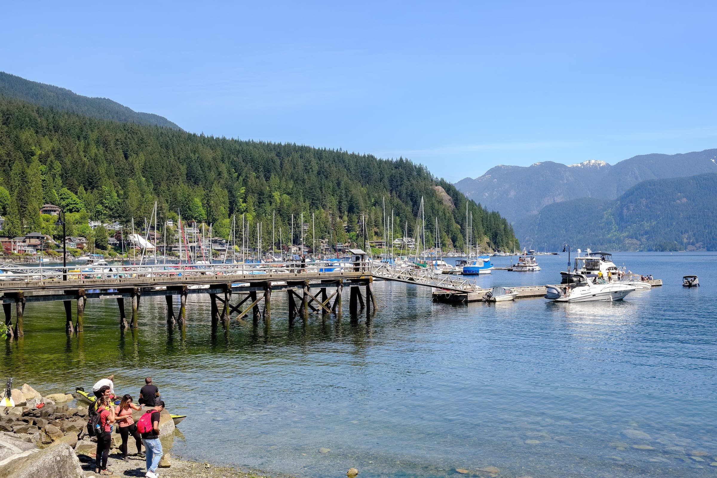
Indian Arm opens north from Burrard Inlet at the eastern end, and Deep Cove sits at its mouth. BC Parks describes the shores of the arm as the core of Tsleil-Waututh traditional territory, and the Nation and the Province manage Say Nuth Khaw Yum Park up the arm together. BC Parks translates that name as Serpent's Land. Its campsite on North Twin Island sits 5.5 km up the arm from the village. On foot, the Baden-Powell Trail climbs out of Deep Cove to the granite lookout at Quarry Rock, which Destination Vancouver puts at 4 km round trip with 100 metres of gain.
Whey-ah-Wichen/Cates Park lies five minutes' drive west of the village. It is an ancestral village site of the səlilwətaɬ (Tsleil-Waututh Nation), and the District and the Nation have managed it together since 2001. Parkgate handles the errands. Mount Seymour Road starts at the corner of its shopping plaza and climbs to the Mount Seymour ski area, whose runs spread between 935 and 1,265 metres, and in winter the resort's shuttle loads outside the community centre.
Buses take a while to reach this end. The 212 reaches Gallant Avenue from Phibbs Exchange in 16 to 19 minutes. The 211 runs all the way from Burrard Station downtown in 45 to 57 minutes on the timetable effective 7 September 2026, and its last weekday through trip back leaves the village at 5:45 pm. Later buses stop at Phibbs, where you change.
The map
The map marks every place this piece visits.
Contours come from Mapterhorn, and the coast and water from OpenStreetMap.
Where does West Van begin?
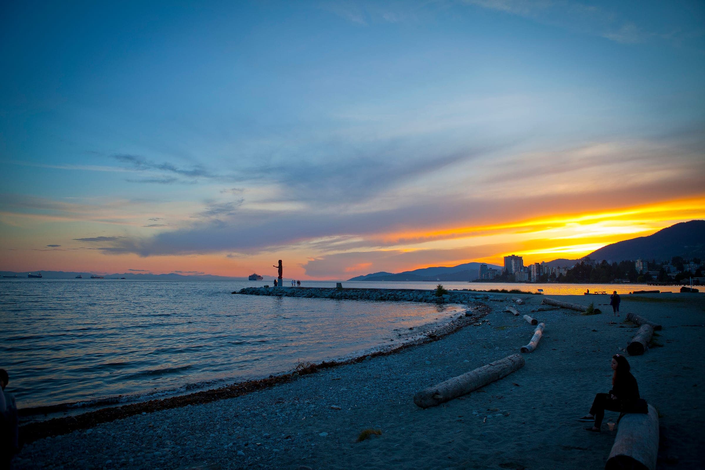
West Van starts at Park Royal on Ambleside's eastern edge, and the shopping centre stands on the land of the Squamish Nation community of Xwemélch'stn (Capilano IR 5). From there the District of West Vancouver strings its villages along Marine Drive. Ambleside has the sandy beach at the foot of 13th Street. The Centennial Seawalk runs 1.7 kilometres from 18th Street to Dundarave, where the pier stands at the foot of 25th Street. Farther west the road winds past Lighthouse Park and Whytecliff Park to Horseshoe Bay, where BC Ferries sails for Nanaimo and the Sunshine Coast. The 250 bus follows Marine Drive the whole way from Georgia Street.
West Van's mountain is Cypress. Its downhill area sits 15 km up Cypress Bowl Road from Highway 1 exit 8, and Mount Strachan tops out at 1,440 metres. Cypress requires winter tires on that road from 1 October to 30 April. Without a car you'd ride the private Cypress Coach Lines shuttle.

How do you cross from one valley to the next?
Come back down to the water and ride the R2. The R2 Marine–Willingdon RapidBus runs along the shore from Park Royal through Lonsdale Quay to Phibbs Exchange every 6 to 12 minutes for most of the day, and since 7 September 2026 it carries on over the Second Narrows to Metrotown. A 10:00 am weekday bus from Park Royal reaches the Quay at 10:20 and Phibbs at 10:34. Phibbs is where the buses for Lynn Valley and Deep Cove start, and the 232 to Grouse leaves from there too. Every bus ride in Metro Vancouver costs a 1-zone fare, and a tap at Lonsdale Quay carries your SeaBus transfer for 90 minutes.
Drivers cross on Highway 1 along the slope above the water. The District of North Vancouver charges $3 an hour at Lynn Canyon, Deep Cove, Panorama Park and Cates Park only from 1 March to 31 October, so winter parking at those four is free.

What does every valley ask of you?
Each valley ends in forest that North Shore Rescue knows well. The team answers about 130 calls a year, and it asks everyone heading out to leave a trip plan and carry the ten essentials, with a light at the top of the list. Lack of light is the main reason its volunteers go looking for overdue hikers, so start early on a December day and expect your phone to lose signal under the trees. Black bears share the District's ravines, and BC's Wildlife Act makes it an offence to feed them.
Quick answers
What are the main areas of Vancouver's North Shore?
Vancouver's North Shore falls into five areas from a visitor's point of view: Lonsdale and the Shipyards in the middle, Capilano and Grouse to the west of it, Lynn Valley to the east, Deep Cove and Mount Seymour at the eastern end on Indian Arm, and West Vancouver and Cypress from Park Royal to Horseshoe Bay.
How do you get around Vancouver's North Shore without a car?
Ride the SeaBus 12 minutes to Lonsdale Quay, then take a TransLink bus up the valley you want: the 236 for Capilano and Grouse, the 228 for Lynn Valley, and the R2 along the waterfront to Park Royal or Phibbs Exchange for Deep Cove. Every bus ride costs a 1-zone fare.
Is North Vancouver one city or two?
North Vancouver is two municipalities. The City of North Vancouver takes in Lonsdale Avenue from the water up to 29th Street. The District of North Vancouver wraps around the City and includes Lynn Valley, Deep Cove, Edgemont Village and the slopes of Grouse and Seymour.
We write from operators’ and agencies’ own pages, open map data and published research, and we date every fact we check. How we research.
Sources (12)
- https://www.translink.ca/schedules-and-maps/seabus
- https://infomaps.translink.ca/Public_Timetables/221/tt236.pdf
- https://infomaps.translink.ca/Public_Timetables/221/tt228.pdf
- https://lonsdalequay.com/
- https://metrovancouver.org/services/water/watersheds-reservoirs
- https://metrovancouver.org/services/regional-parks/park/lynn-headwaters-regional-park
- https://www.grousemountain.com/gondola
- https://www.cypressmountain.com/getting-here
- https://mtseymour.ca/the-mountain/trail-map
- https://bcparks.ca/indian-arm-park/
- https://www.dnv.org/parks-trails-recreation/managing-parking-demand-our-parks
- https://www.northshorerescue.com/education/heading-outside/
Places in this piece





Read next
Practical guide · 10 min read
Where should you base yourself on Vancouver's North Shore for a first visit?
Lower Lonsdale suits a first visit best, because its three hotels stand within about 400 metres of the SeaBus to downtown Vancouver.
answer · 7 min read
Should you visit Capilano Suspension Bridge or Lynn Canyon in North Vancouver?
Capilano Suspension Bridge Park suits a first visit, because one ticket covers the higher bridge and the treetop walkways and its free shuttle runs from Canada Place. Lynn Canyon Park costs nothing to enter and gets you over the canyon and round a forest loop in about half an hour.
Practical guide · 13 min read
Should you stay in North Vancouver or downtown Vancouver?
Lower Lonsdale wins when your days point north to Grouse and the canyons, and the SeaBus that links it to downtown costs an adult $5.10 at most in 2026.