Skip to content

Field cards · 8 cycling routes · checked 16 Oct 2026

Cycling routes in North Vancouver

Start here · Hard · Pass ascent

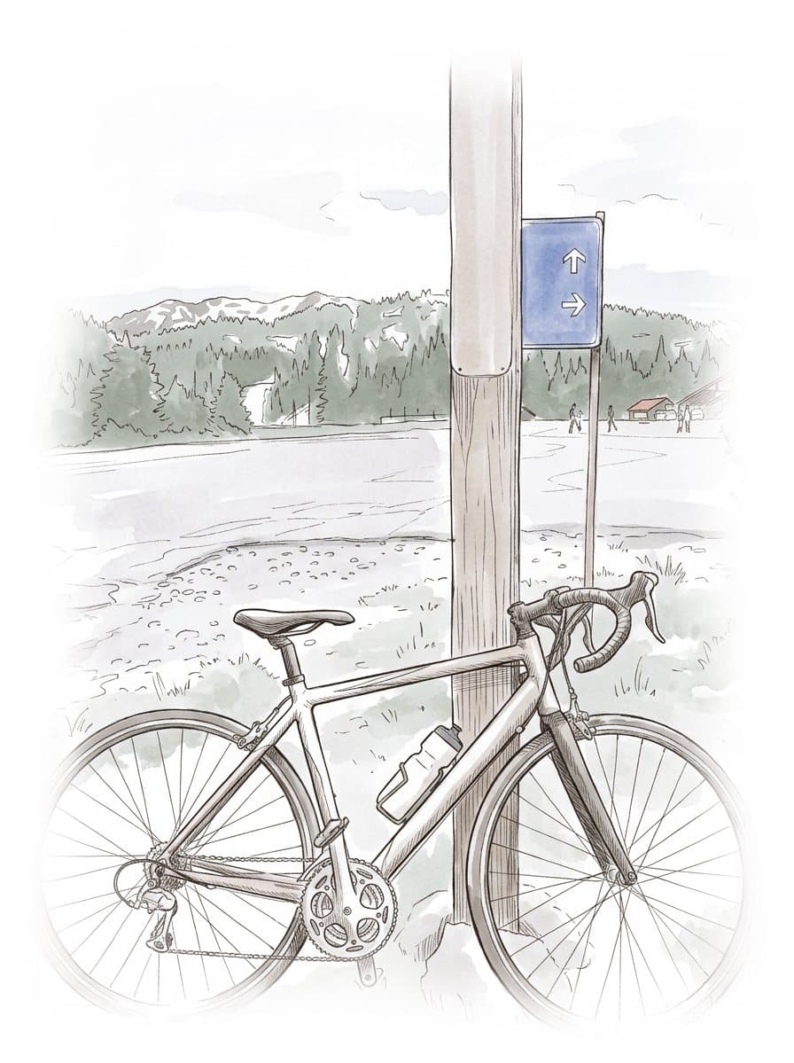
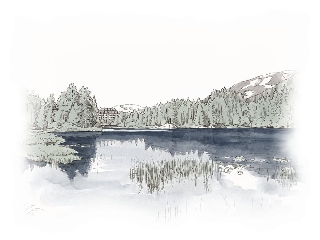
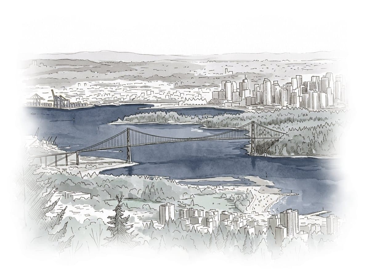
Ink and wash painting of Cypress Bowl Road climb.

Cypress Bowl Road climb

The Cypress Bowl Road climb runs from Highway 1 in West Vancouver up a ladder of switchbacks to the Cypress Mountain ski area, and it suits fit road riders who want a long climb with Vancouver below them; the catch in October 2026 is a BC Parks closure to…

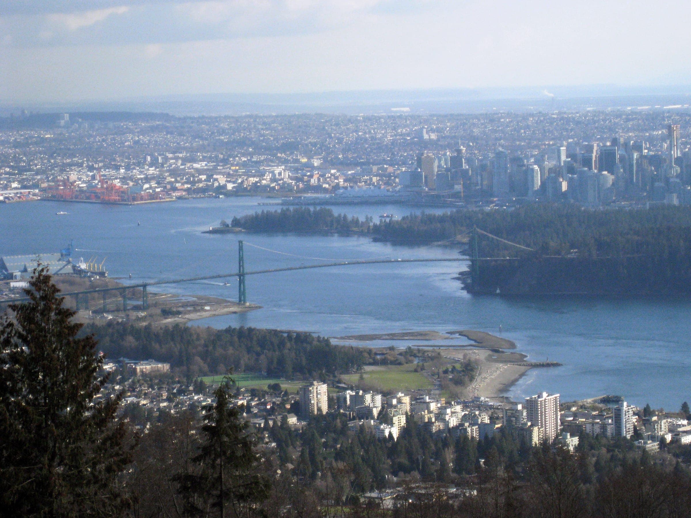
Painted after a photo by Ruth Hartnup from Vancouver, Canada, CC BY 2.0.

Ink and wash painting of Cypress Bowl Road climb.
Hard · Pass ascent · West Vancouver and Cypress

Cypress Bowl Road climb

The Cypress Bowl Road climb runs from Highway 1 in West Vancouver up a ladder of switchbacks to the Cypress Mountain ski area, and it suits fit road riders who want a long climb with Vancouver below them; the catch in October 2026 is a BC Parks closure to cyclists while crews repave the road.

Climbing 754 m · High point 919 m
Ink and wash painting of Marine Drive to Horseshoe Bay.
Moderate · Out and back · West Vancouver and Cypress

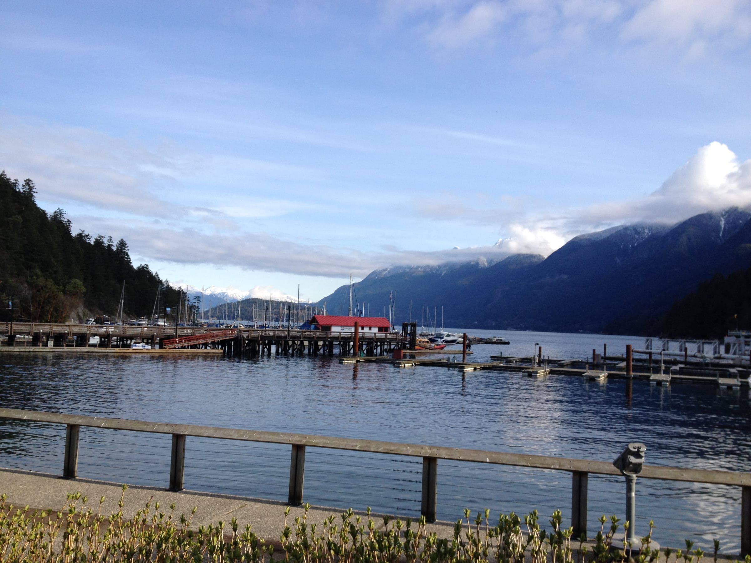
Marine Drive to Horseshoe Bay

Marine Drive to Horseshoe Bay is West Vancouver's shoreline road ride, out from Ambleside through Dundarave and past Lighthouse Park to the ferry village and back, and it suits road riders who want a coastal ride close to the city; the catch is traffic, since cars and TransLink's 250 bus share the road with you.

Climbing 384 m · High point 64 m

Ink and wash painting of Mount Seymour Road climb.
Hard · Pass ascent · Deep Cove and Mount Seymour

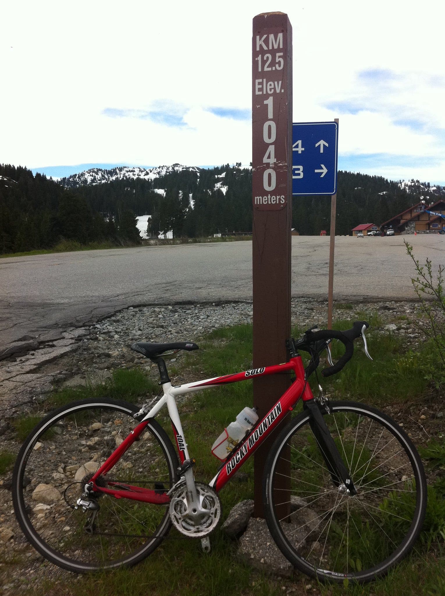
Mount Seymour Road climb

The Mount Seymour Road climb rises from Parkgate in the District of North Vancouver up a long run of switchbacks to the Mt Seymour ski area, and it suits strong road riders who want a mountain climb that starts in town; the catch from November to April is the gate, which Mt Seymour shuts between 10 pm and 7 am every day.

Climbing 913 m · High point 1,016 m

Easy · Point to point · Lonsdale and the Shipyards

North Shore Spirit Trail

The North Shore Spirit Trail through the City of North Vancouver is a separated waterfront greenway from West 1st Street and MacKay Road past Lonsdale Quay and the Shipyards to Lynn Creek, and it suits families and anyone stepping off the SeaBus with a bike; the catch is the zigzag through Lonsdale Quay and the street crossings further east.

Climbing 42 m

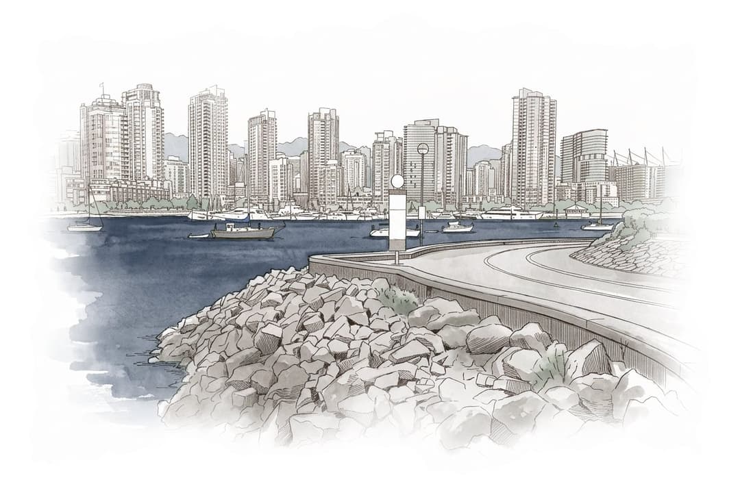
Ink and wash painting of Seaside Vancouver bike route.
Moderate · Loop · Kitsilano and the West Side

Seaside Vancouver bike route

The Seaside Vancouver bike route is the City of Vancouver's loop from Olympic Village along the south shore of False Creek and past Kitsilano to Spanish Banks, then back over the Burrard Bridge and around the north side of False Creek, and it suits riders who want Vancouver's beaches and skyline on separated paths; the City rates it Medium and warns of gravel paths and short climbs.

Climbing 52 m

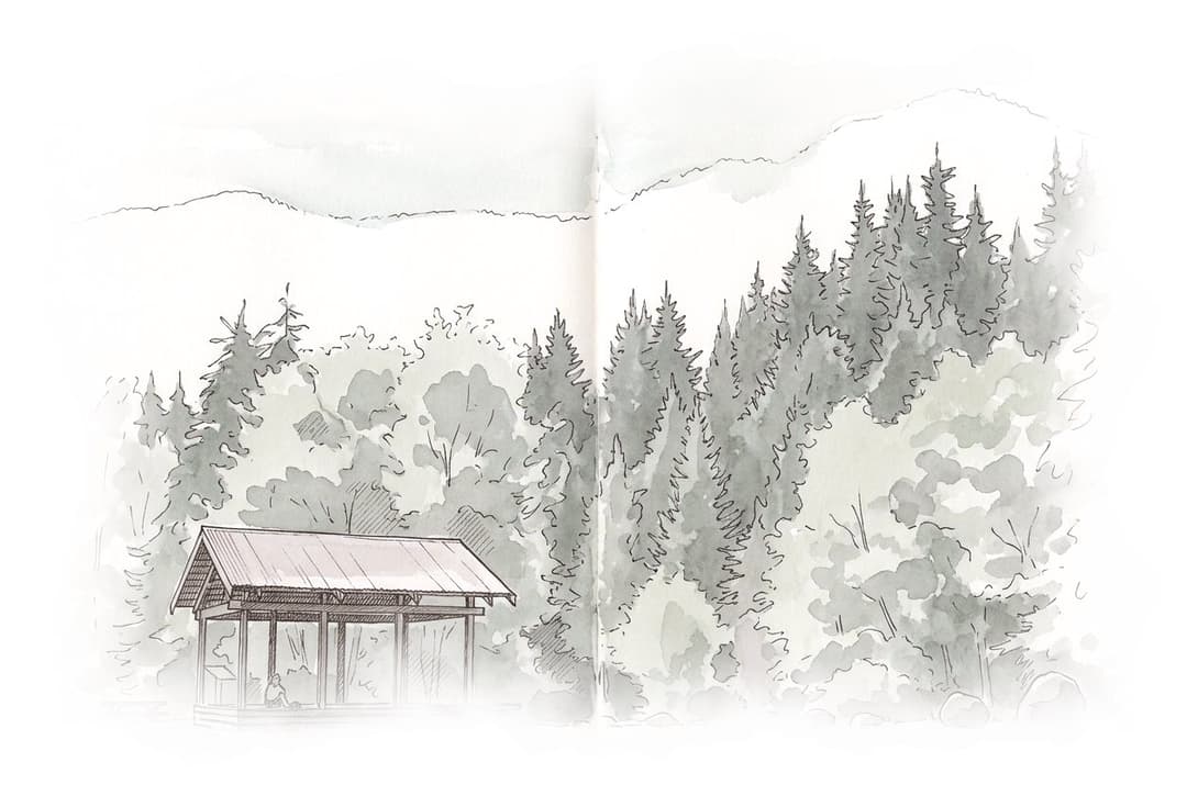
Ink and wash painting of Seymour Valley Trailway.
Easy · Out and back · Lynn Valley

Seymour Valley Trailway

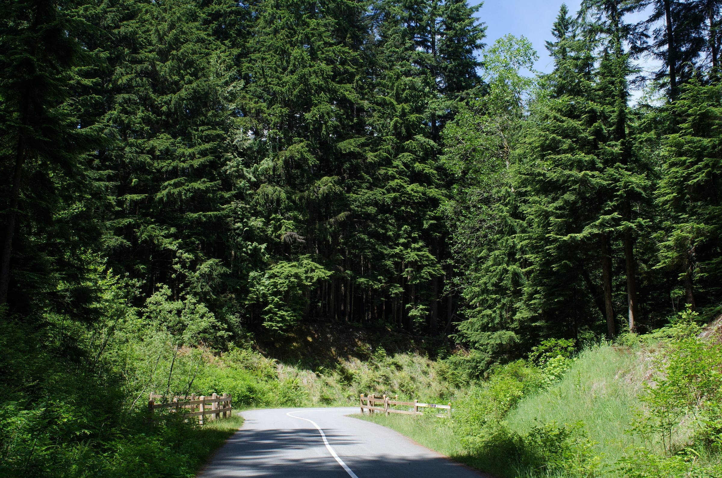
The Seymour Valley Trailway is Metro Vancouver's paved path up the Seymour River valley from the Rice Lake Gate in the District of North Vancouver to the Seymour Falls Dam and back, and it suits families and anyone who wants a car-free ride through the forest; the catch in winter is the short day, since the reserve opens only from 6 am to 5 pm from November to February.

Climbing 217 m

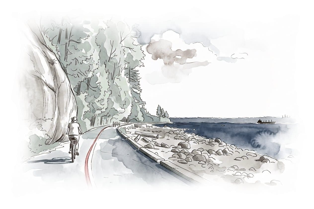
Ink and wash painting of Stanley Park Seawall.
Easy · Loop · Downtown and Stanley Park

Stanley Park Seawall

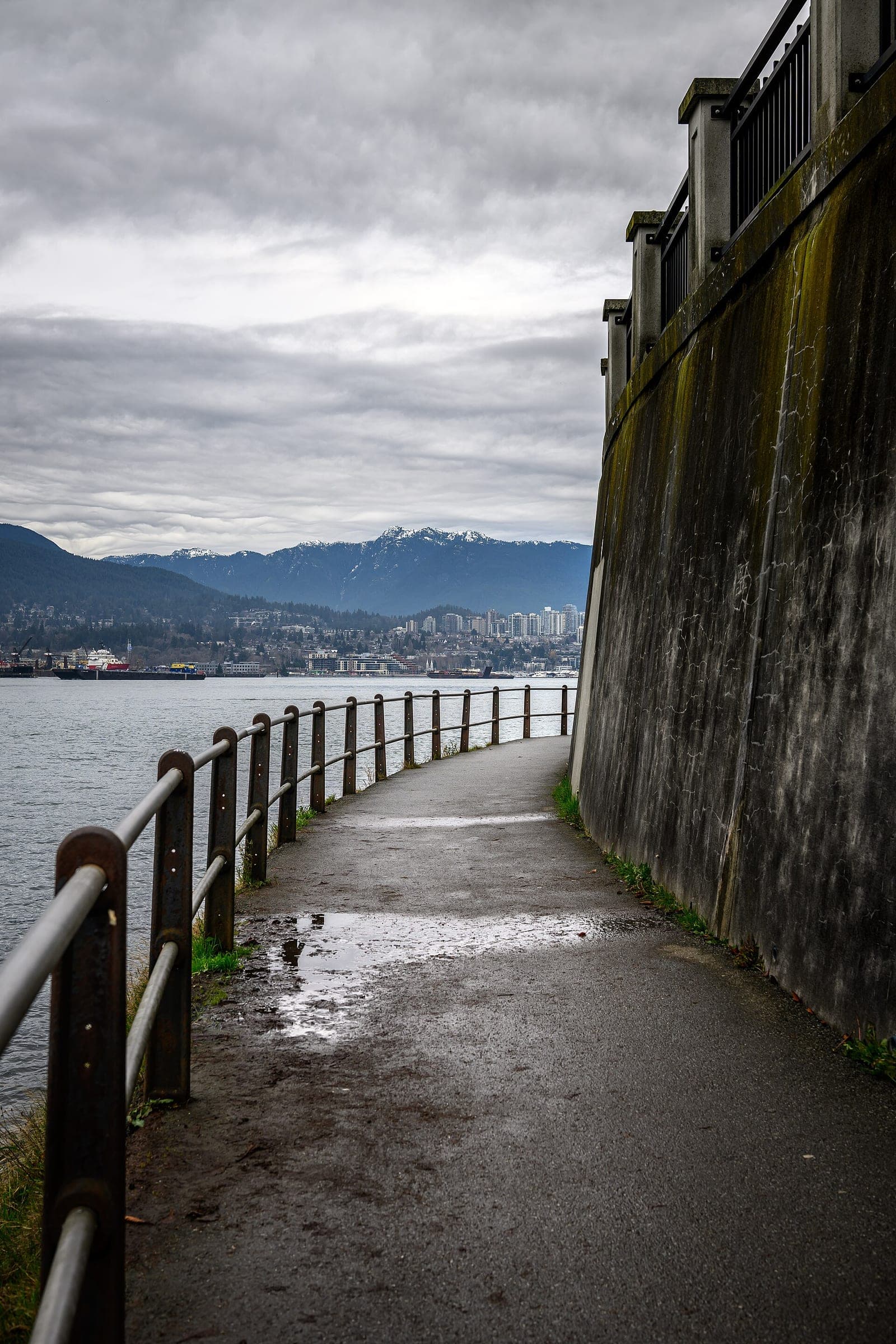
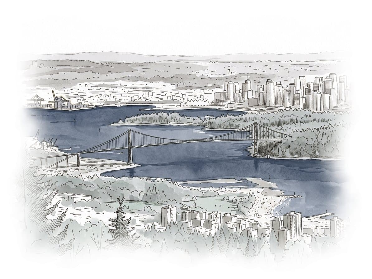
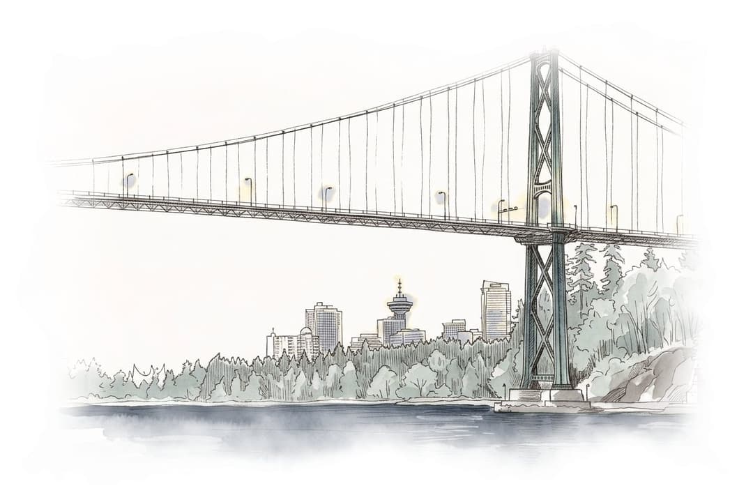
The Stanley Park Seawall is the one-way bike path around Stanley Park in downtown Vancouver, ridden counter-clockwise from Coal Harbour past Brockton Point and under the Lions Gate Bridge to Second Beach, and it suits anyone who wants the harbour and the mountains of Vancouver's North Shore in view without riding in traffic; the catch is the crowd on sunny summer weekends.

Climbing 3 m · High point 9 m

Ink and wash painting of Valley Trail from Whistler Village to Cheakamus Crossing.
Easy · Out and back · Whistler and Pemberton

Valley Trail from Whistler Village to Cheakamus Crossing

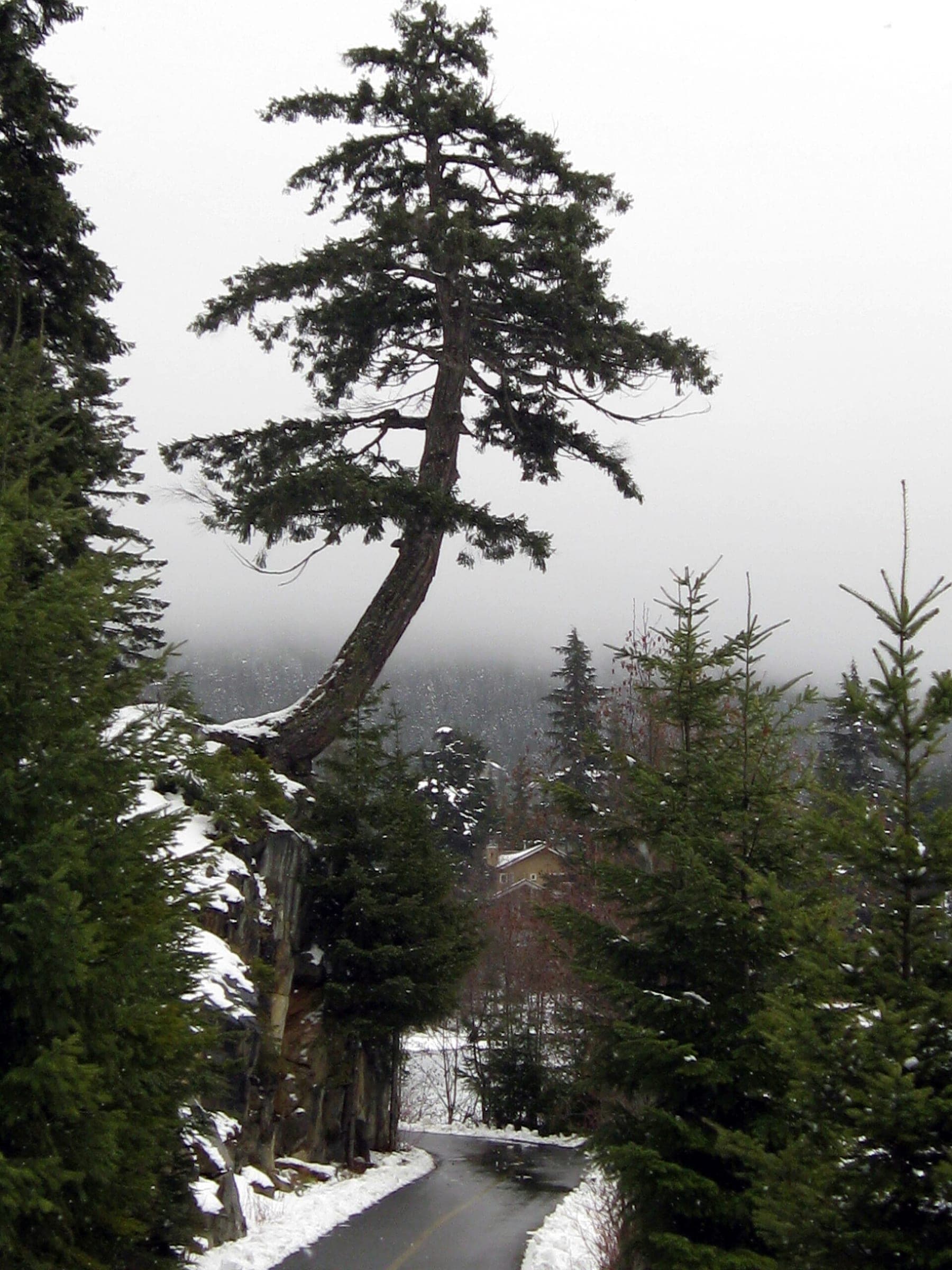
The Valley Trail from Whistler Village to Cheakamus Crossing follows Whistler's paved shared-use path south past Alta Lake and Creekside and back, and it suits families and anyone who wants to see the valley between ski days; in winter the catch is snow, so check the municipality's winter map of maintained sections before you ride.

Climbing 270 m · High point 693 m

Every cycling routes in one listSearch and filter all 8

8 cycling routes

All 8 cycling routes from A to Z