Lynn Loop at Lynn Headwaters
49°22′ N 123°02′ W5.2 km returnall year
The Lynn Loop at Lynn Headwaters Regional Park in North Vancouver suits families and easy-going hikers who want a creekside forest walk at the top of Lynn Valley Road, and Metro Vancouver gives it 5.2 km and two hours return. A damaged bridge on the loop's upper section is closed in October 2026, so plan to walk back the way you came.
Closed
Metro Vancouver closes the paved lot at Lynn Headwaters
Metro Vancouver has closed the paved parking lot at Lynn Headwaters Regional Park while construction goes on, and it gives no date for the lot to reopen. You can still park in the gravel lots and in the marked spaces along the road. Walkers and cyclists keep using the road. Follow the posted signs and whatever the work crews tell you.
Checked 2026-10-17 · metrovancouver.org
Trail closure
The Baden-Powell staircase into Lynn Headwaters stays closed until late November
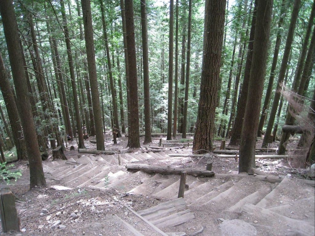
Metro Vancouver is replacing the staircase off Lynn Valley Road that links the Baden-Powell Trail with Lynn Headwaters Regional Park. Nobody can pass that section while the work goes on. Metro Vancouver expects construction to last until late November 2026, so follow the posted signs and take another route. Its neighbourhood connector map on the park page shows the other ways in.
Checked 2026-10-17 · metrovancouver.org
Trail closure
A damaged bridge closes the upper Lynn Loop at Lynn Headwaters
Metro Vancouver closed a bridge on the upper Lynn Loop Trail in October 2026 because structural damage has left it unsafe to cross. Its map of 2 October marks the bridge where the Lynn Loop Spur comes in. A rough, steep bypass runs through the streambed, and Metro Vancouver says only advanced hikers should use it, with extreme caution. Heavy rain or high water can make that crossing impassable. Everyone else should pick another trail or walk back the way they came.
Checked 2026-10-17 · metrovancouver.org
Trail closure
Metro Vancouver closes a damaged bridge on the Headwaters Trail to Norvan Falls
Hikers on the Headwaters Trail to Norvan Falls find a closed bridge near the Third Debris Chute at Lynn Headwaters, because it's damaged. Without the bridge you cross the creek itself. Metro Vancouver says the creek isn't safe to pass during or after heavy rain, so save this hike for a dry spell.
Checked 2026-10-17 · metrovancouver.org
Photo GoToVan · Wikimedia Commons · CC BY 2.0 and others, credited in the gallery
Field card · Hike · No. 010 · checked 16 Oct 2026
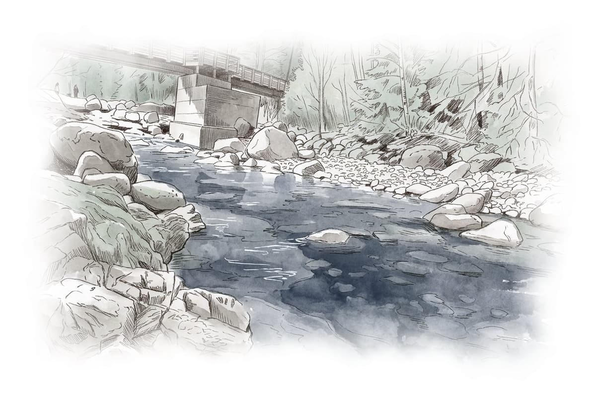
The upper loop bridge is closed, so walk back the way you came.
Lynn Loop at Lynn Headwaters is partly closed right now
Bridges are closed on the upper Lynn Loop Trail and on the Headwaters Trail, the paved parking lot is shut for construction, and the Baden-Powell staircase from Lynn Valley Road is closed for replacement until late November 2026.
Is it for you?
The Lynn Loop gives families a marked creekside walk with toilets at the start and free parking from October to March.
You’ll love Lynn Loop at Lynn Headwaters if
- You want an easy two-hour forest walk close to Lynn Valley.
- You're building up to longer days and want Norvan Falls as the next step.
Think twice if
- You're coming by bus and don't want 1.5 km of road walking each way.
- You want a complete loop this fall while the upper bridge stays closed.
Pick the right months for this hike
Metro Vancouver opens the park from 7 am to 7 pm until 2 November 2026 and from 7 am to 6 pm from 3 November to 31 December. Pay parking runs only from 1 April to 30 September. The backcountry routes were open on 16 October 2026, and Metro Vancouver usually closes them once winter conditions set in and reopens them after the snow and ice melt.
Plan how you get back down
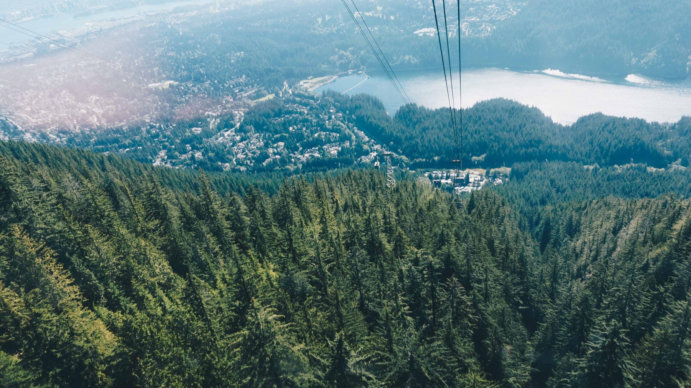
With the upper Lynn Loop bridge closed, Metro Vancouver asks hikers to take another route or be ready to retrace their steps, so treat the loop as an out-and-back for now. Hanes Valley runs one way from Lynn Headwaters over to Grouse Mountain, where the ride down is the Blue Grouse Gondola and Grouse allows no dogs at the top.
Know what catches hikers out here
- A bridge on the upper Lynn Loop Trail is closed for structural damage. Metro Vancouver says the rough, steep bypass through the streambed suits advanced hikers only and can become impassable in heavy rain or high water.
- A damaged bridge is closed on the Headwaters Trail toward Norvan Falls, and Metro Vancouver warns that the creek there can't be crossed safely during or after heavy rain.
- Hanes Valley is a 14.8 km one-way route for experienced hikers only, with steep unmarked scree slopes and creek crossings. A hiker was found dead on the Hanes Valley trail in 2015, and another disappeared in the area in 2017 and has never been found.
- Metro Vancouver calls any visit to the park a trip into the wilderness, and it warns that weather and visibility can change quickly, so turn back when conditions worsen.
- A car left in the lot overnight sets off an emergency response, so drive out before the park closes.
Give the wildlife room
Metro Vancouver's bear advisory says bears are active throughout the park and move with their food supply. Stay 100 metres back from any bear you see, and if you meet one up close, face it and back away slowly while you talk to it in a confident voice. Metro Vancouver wants apple cores and banana peels packed out with the rest of your food waste. Cougars and coyotes share the park, and feeding them or a bear is an offence under BC's Wildlife Act.
Follow North Shore Rescue's advice
Metro Vancouver asks every visitor to leave a trip plan with someone they trust. Its list of essentials starts with water and food and goes on to a headlamp and a signalling device. North Shore Rescue answers about 130 calls a year, and it tells anyone who gets lost to stay put and avoid heading downhill, because the ravines here are steep and unstable. Call 911 as soon as you know you're lost or hurt, since a rescue costs nothing. For rough terrain like the routes past Norvan Falls, North Shore Rescue suggests carrying a satellite messenger or a personal locator beacon.
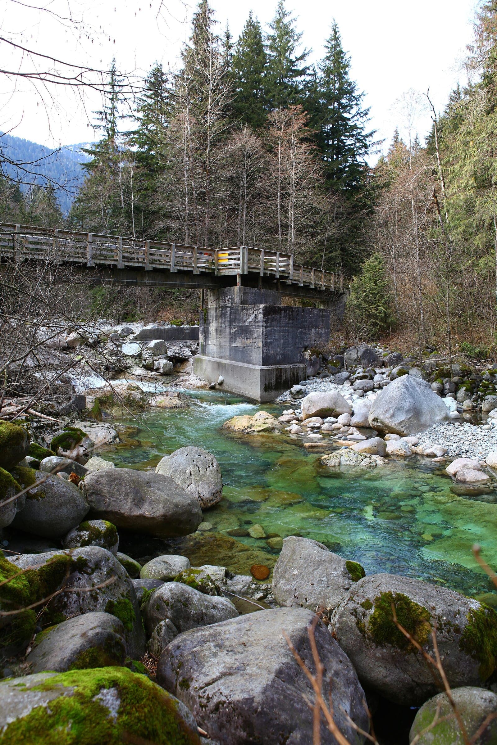
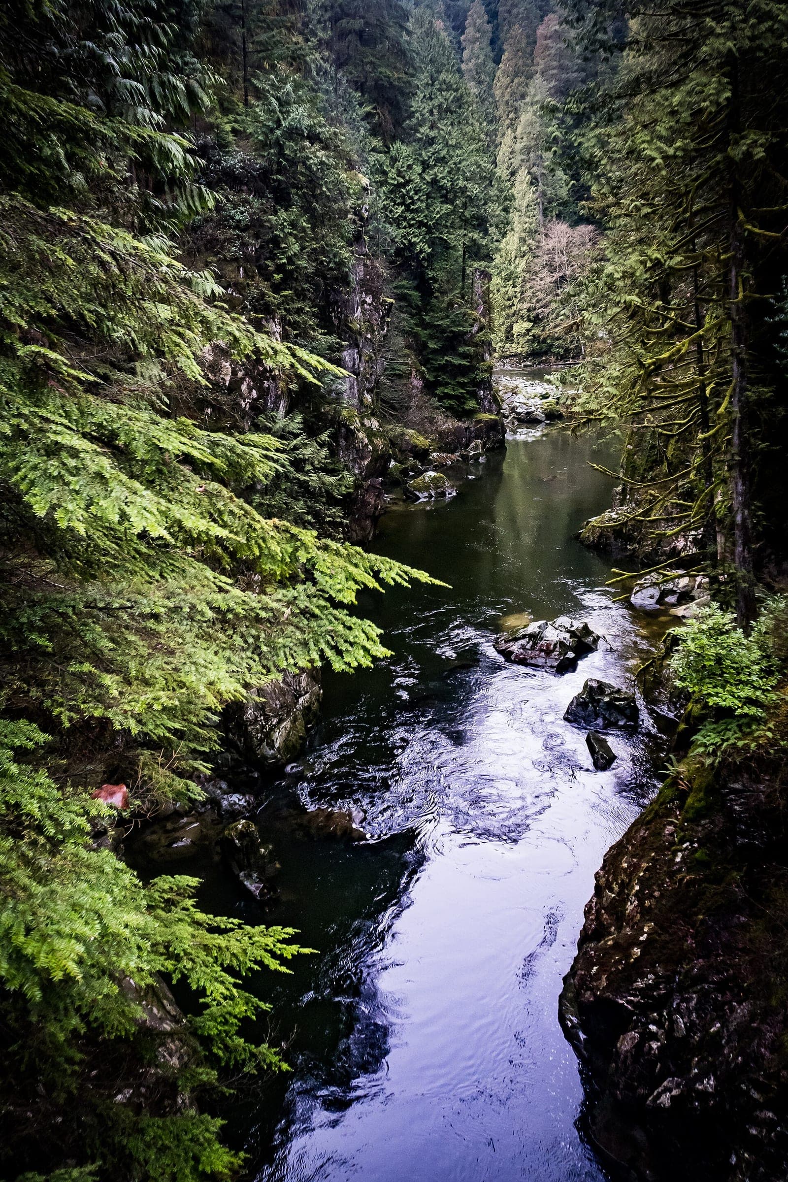
Metro Vancouver rates the Lynn Loop Trail easy and suitable for families. Its park map gives the loop 5.2 km and two hours return from the hiker registration kiosk and notes one steep section. The lower part of the loop runs beside Lynn Creek, which you can see from the trail. For a longer easy walk, the Lynn Loop and Cedars Mill option stays on the creekside trail as far as the Third Debris Chute and comes back the same way, and the park map gives it 7.8 km and three hours.
Hikers ready for a full day carry on up the Headwaters Trail to Norvan Falls, which Metro Vancouver rates intermediate at 13.8 km and six hours return. Check the advisory for the closed bridge on the Headwaters Trail before you set out, because Metro Vancouver says the creek there can't be crossed safely during or after heavy rain. Beyond the falls the park map marks routes to Lynn Lake and Coliseum Mountain for experienced hikers only, and the Hanes Valley route starts nearby.
Hanes Valley runs 14.8 km one way from the park entrance over to Grouse Mountain on steep unmarked scree with creek crossings, and Metro Vancouver usually closes it with the rest of the backcountry once winter sets in. When Metro Vancouver closed the backcountry in October 2023, the North Shore News reported that the area turns treacherous in winter with fast-changing conditions and avalanche risk. North Shore Rescue's team leader called crossing into the closed area a matter of life and death.
The 228 ends at Underwood Avenue and Evelyn Street in Lynn Valley, and Metro Vancouver puts the park entrance about 1.5 km from the bus stop. Drivers can use the gravel lots and the marked roadside spaces while the paved lot is closed for construction, and parking is free from October to March. Bike racks stand at the main entrance, and bikes may use only the Connector Trail inside the park.
Worth knowing
- Start at the hiker registration and safety kiosk at the entrance, which the park map uses as the starting point for every trail time.
- Come in winter for free parking, since Metro Vancouver charges $3.25 an hour or $18.50 a day only from 1 April to 30 September (2026 rates).
- Bring the dog on the Lower Lynn Loop, where Metro Vancouver lets dogs off leash under control.
Quick answers about Lynn Loop at Lynn Headwaters
How long is the Lynn Loop at Lynn Headwaters?
Metro Vancouver's park map gives the Lynn Loop Trail at Lynn Headwaters 5.2 km and two hours return from the park entrance. It rates the trail easy and notes one steep section.
Is the Lynn Loop open?
Partly. A bridge on the upper Lynn Loop Trail at Lynn Headwaters is closed for structural damage in October 2026, and Metro Vancouver says the streambed bypass suits advanced hikers only. Most hikers should walk back the way they came.
Do you pay for parking at Lynn Headwaters?
Only in summer. Metro Vancouver charges $3.25 an hour or $18.50 a day at Lynn Headwaters from 1 April to 30 September (2026 rates).
Can I hike Hanes Valley from Lynn Headwaters?
Only as an experienced hiker. Metro Vancouver lists Hanes Valley as a 14.8 km one-way route over steep unmarked scree with creek crossings, and it usually closes the route for the winter.
Are dogs allowed at Lynn Headwaters?
Yes. Dogs may be leash optional under control on the Lower Lynn Loop and Cedars Mill trails at Lynn Headwaters, and they must be leashed on every other trail.
Within 12 km
Hikes nearby


Within 12 km
Sights nearby
Within 12 km
Places to eat and drink nearby


In the journal
Read more about Lynn Loop at Lynn Headwaters
Feature · 7 min read
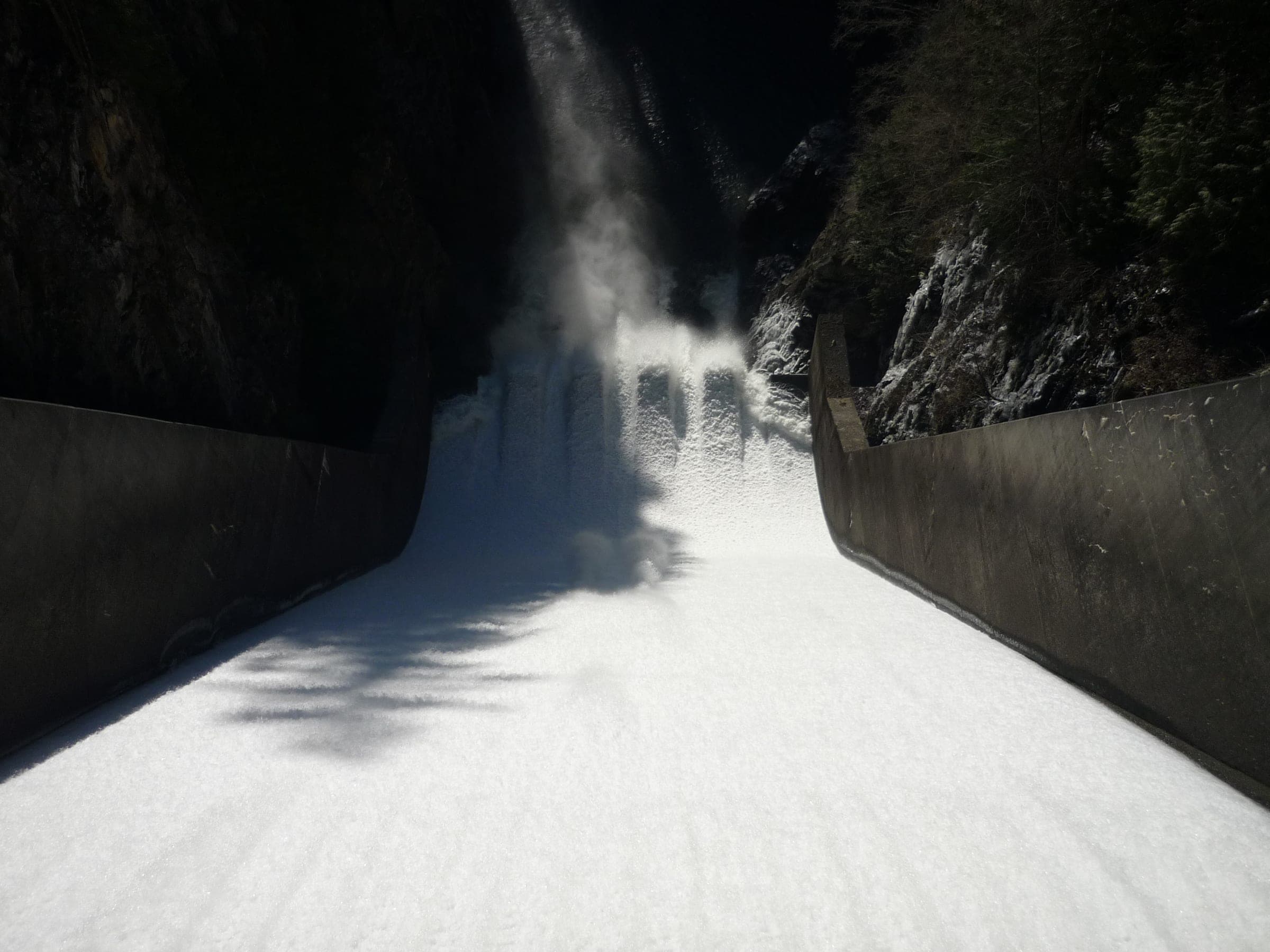
How did the Capilano River and Lynn Creek cut North Vancouver's two canyons?
Both canyons run through granite at the foot of the Coast Mountains. Lynn Creek still floods through its gorge every winter, and Cleveland Dam has held the Capilano back since 1954.
Feature · 8 min read
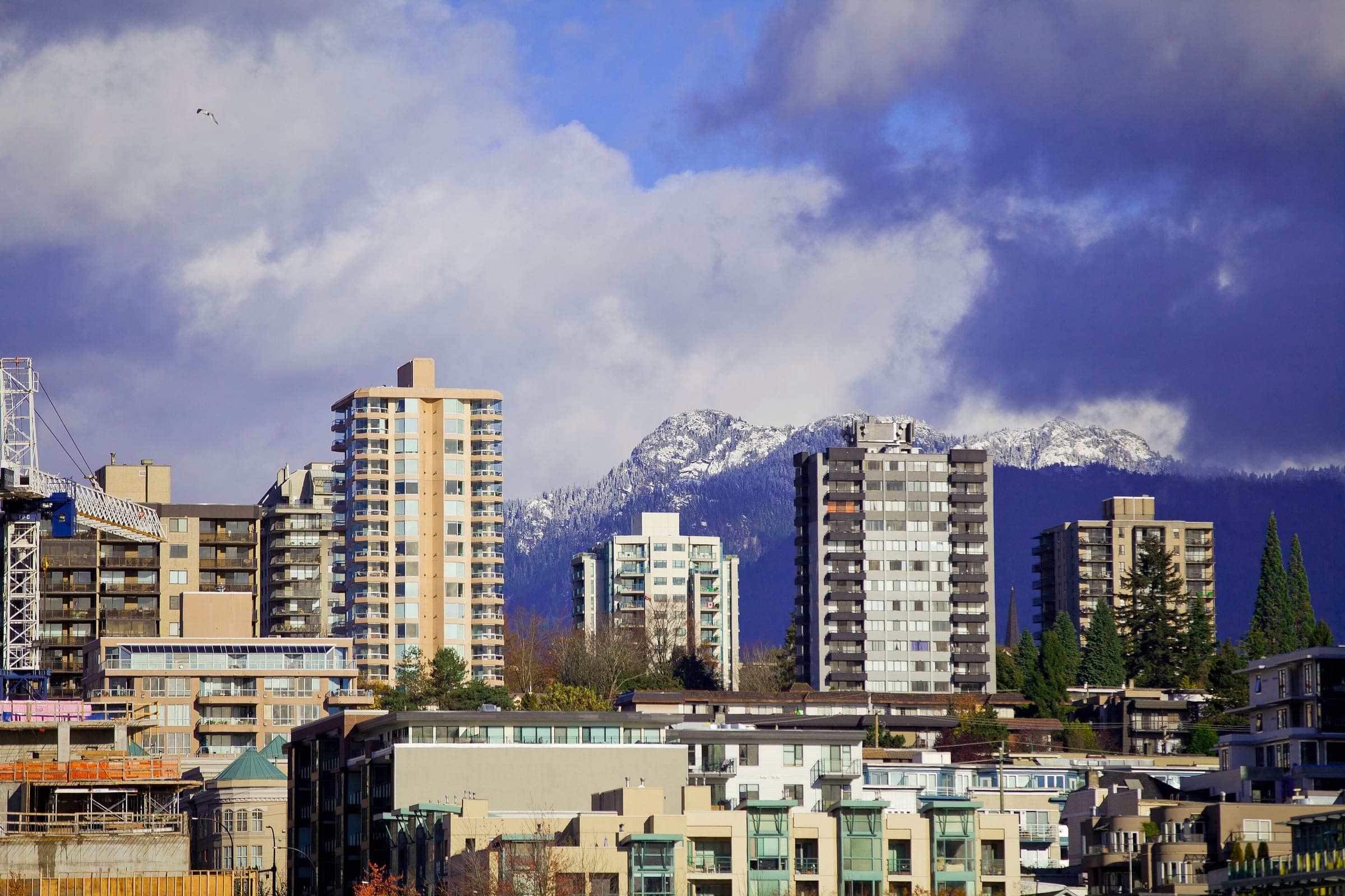
How does Vancouver's North Shore fit together between the mountains and the inlet?
Every neighbourhood on Vancouver's North Shore sits on the same narrow shelf between Burrard Inlet and the mountains, and the rivers coming down off the slopes divide it into valleys. You cross it along the water and climb it up each valley.