Skip to content

Field cards · 8 trail networks · checked 16 Oct 2026

Learn the trail networks before you ride them

Start here · Trail network

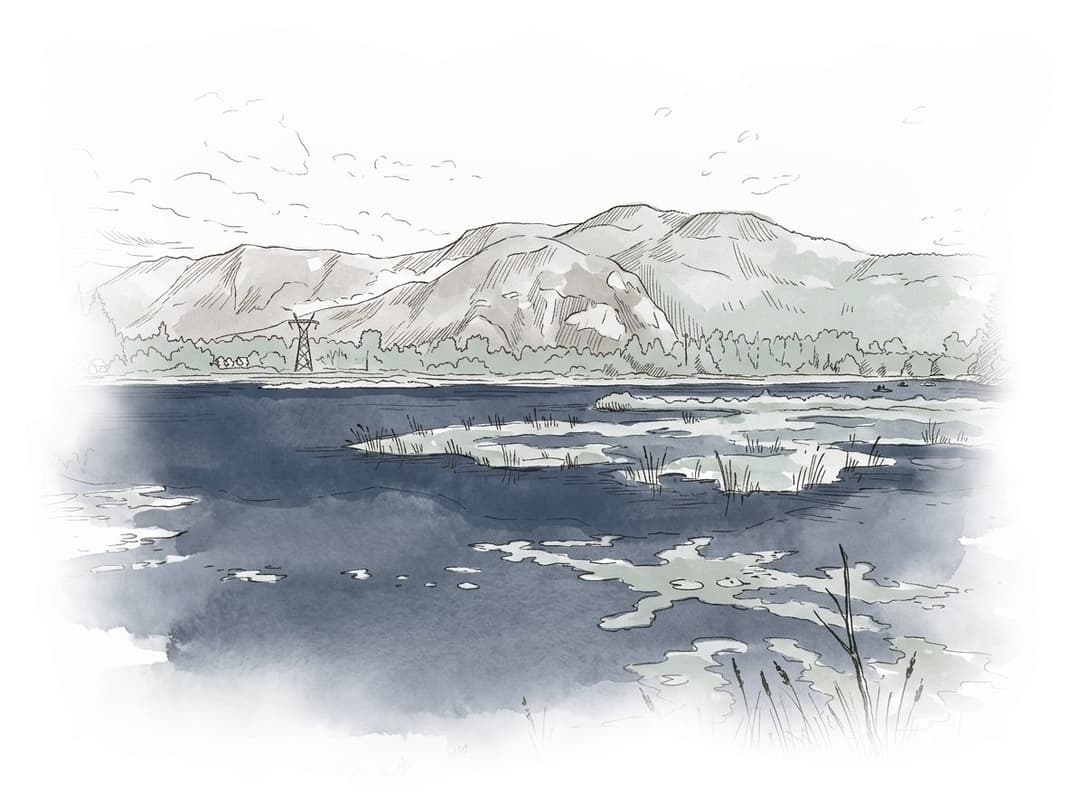
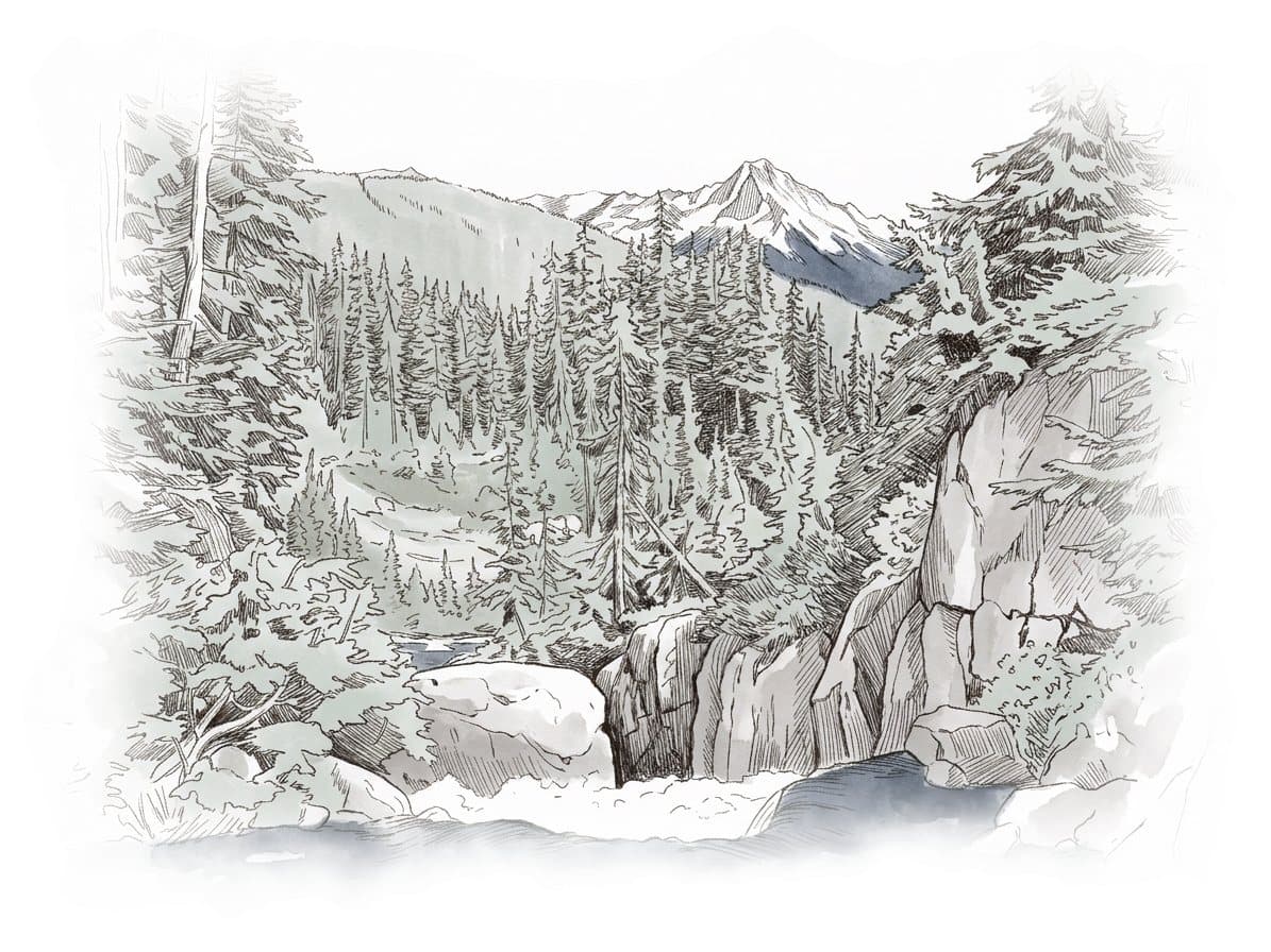
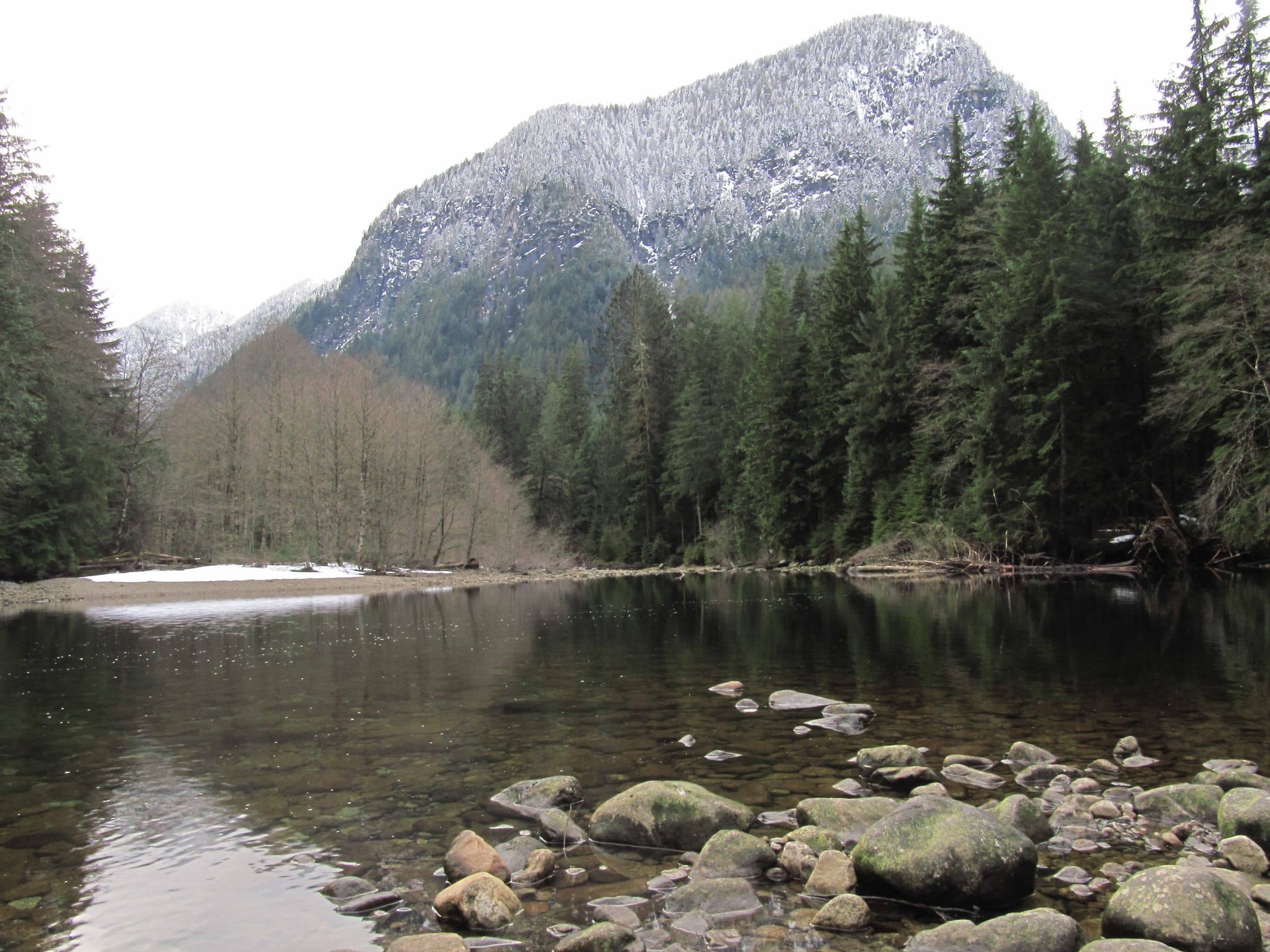
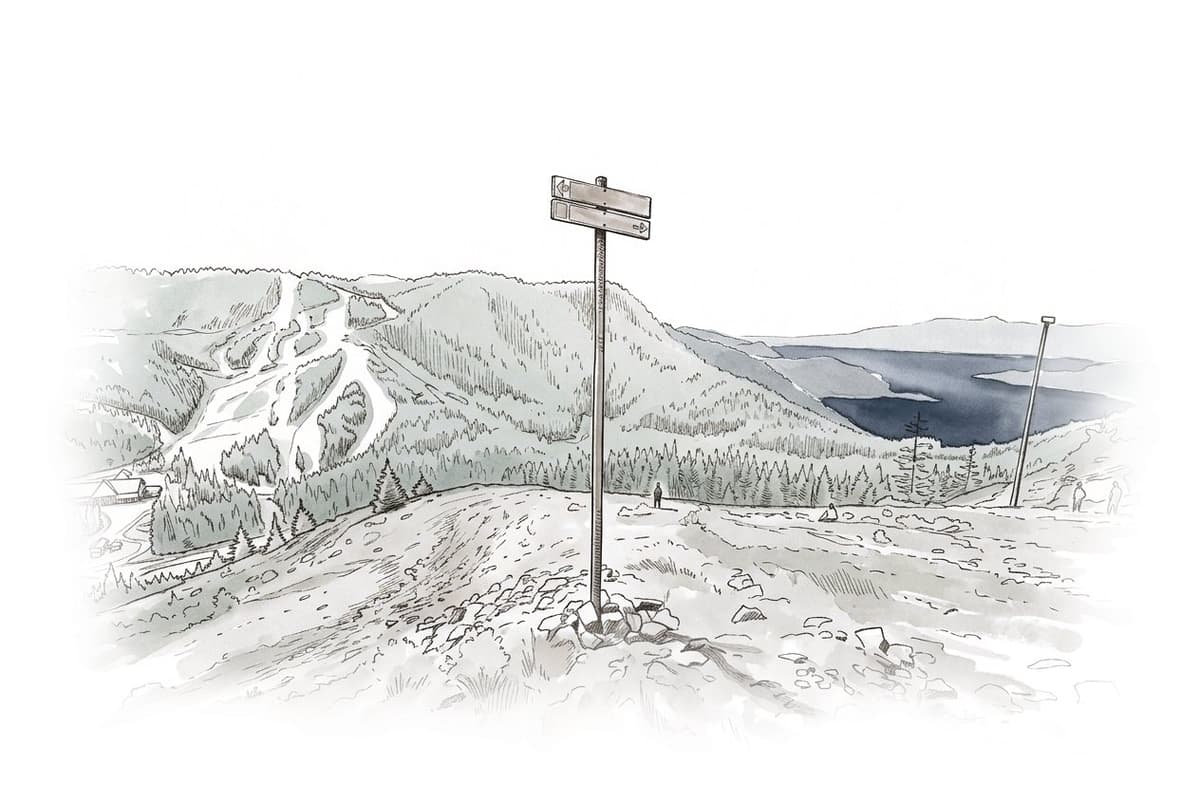
Ink and wash painting of Cypress and Black Mountain.

Cypress and Black Mountain

Cypress and Black Mountain suit mountain bikers after West Vancouver's first sanctioned trails and hikers heading up to the Black Mountain plateau.

The District built the East Cypress Climb for the ride up.

Painted after a photo by Sébastien Launay, CC BY 2.0.

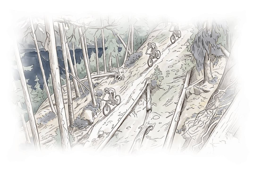
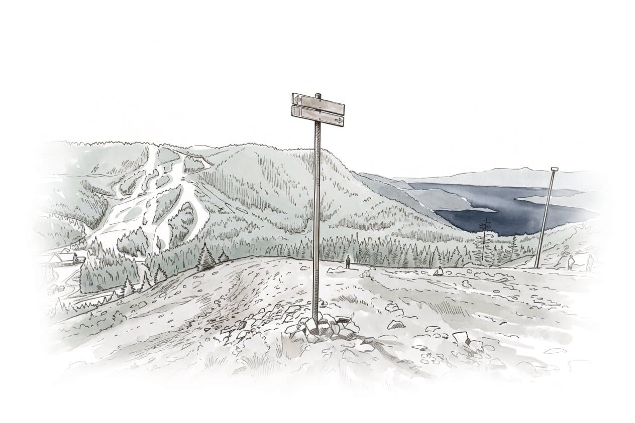
Ink and wash painting of Cypress and Black Mountain.
Trail network · West Vancouver and Cypress

Cypress and Black Mountain

Cypress and Black Mountain suit mountain bikers after West Vancouver's first sanctioned trails and hikers heading up to the Black Mountain plateau. Bikes stop at the provincial park boundary, because BC Parks keeps them to park roads inside Cypress Provincial Park.

Uplift none

The District built the East Cypress Climb for the ride up.
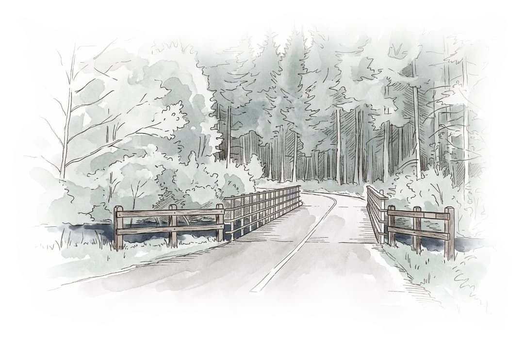
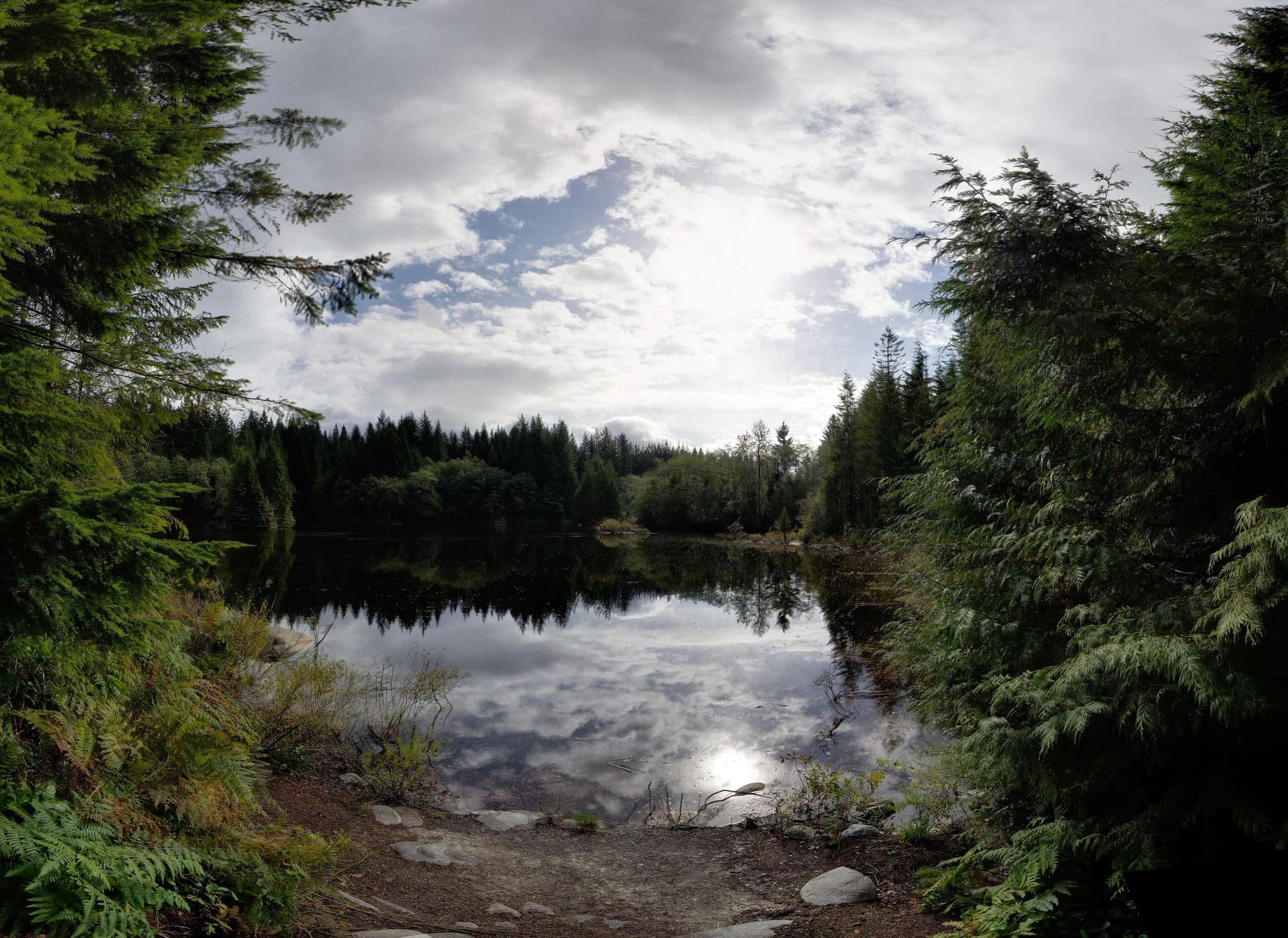
Ink and wash painting of Lower Seymour Conservation Reserve.
Trail network · Lynn Valley

Lower Seymour Conservation Reserve

The Lower Seymour Conservation Reserve suits families and riders on Class 1 e-bikes, with Metro Vancouver's 10 km paved Seymour Valley Trailway and over 55 km of cycling trails in a water-supply forest.

Managed by Metro Vancouver · Uplift none

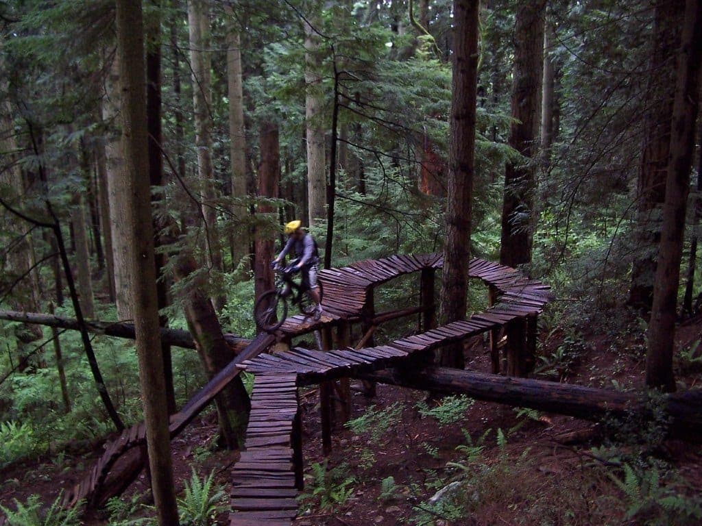
Ink and wash painting of Mount Fromme.
Trail network · Lynn Valley

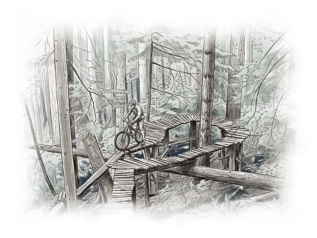
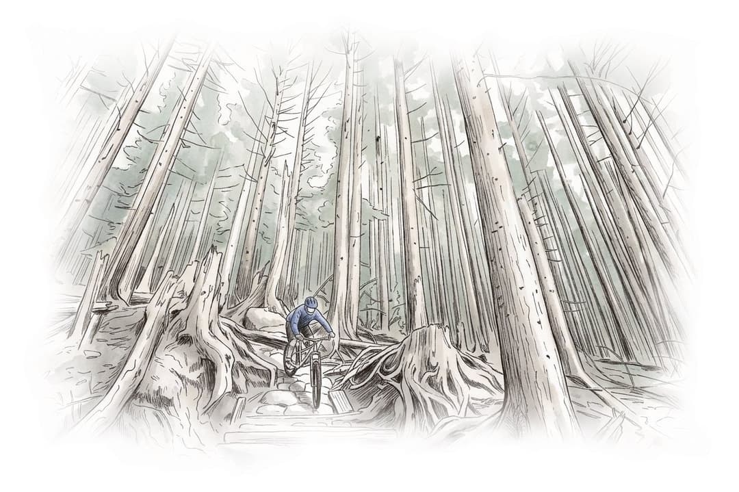
Mount Fromme

Mount Fromme suits intermediate and stronger mountain bikers who want the District of North Vancouver's rated network of roots and wooden features above Upper Lynn Valley, with a District lot at the trailhead and a bus nearby.

Uplift shuttle

The trailhead lot closes at 6 pm from October to February.

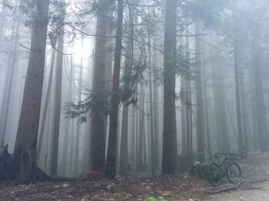
Ink and wash painting of Mount Seymour.
Trail network · Deep Cove and Mount Seymour

Mount Seymour

Mount Seymour's lower mountain suits confident riders who want BC Parks' designated mountain bike trails above the Old Buck lot, with one multi-use climb and a bus at the bottom of the road.

Uplift none

Ink and wash painting of Pemberton.
Trail network · Whistler and Pemberton

Pemberton

Pemberton suits riders who want a multi-use valley network shared by mountain bikers, dirt bikers, horse riders and hikers, all looked after by the Pemberton Valley Trails Association on Líl̓wat land.

Ink and wash painting of Squamish.
Trail network · Squamish

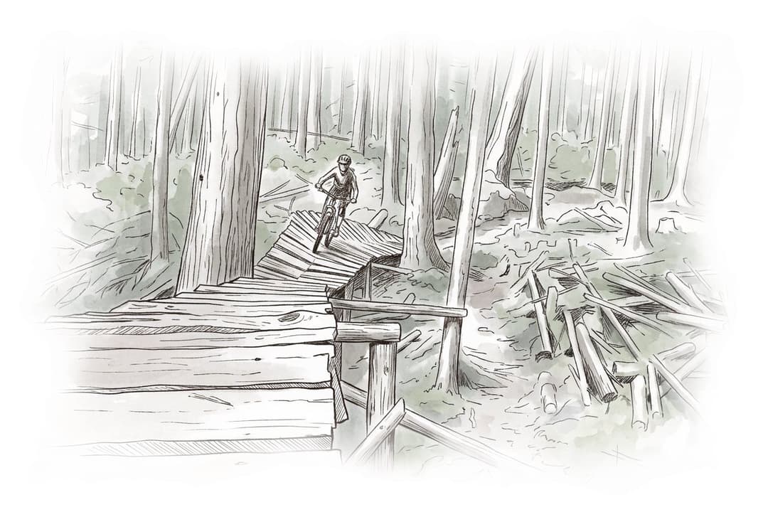
Squamish

Squamish suits riders of every level who want SORCA's mix of hand-built and machine-made trails, from family-friendly Brackendale to Diamond Head, where a shuttle runs from spring to fall.

Uplift shuttle

Leash your dog on District land outside the off-leash areas.

Ink and wash painting of Whistler Alpine.
Trail network · Whistler and Pemberton

Whistler Alpine

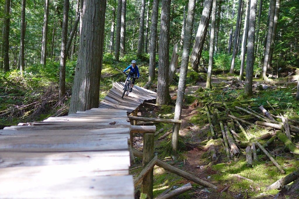
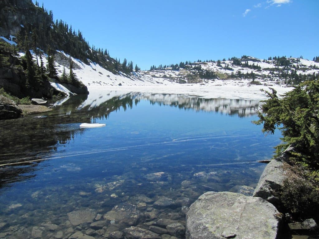
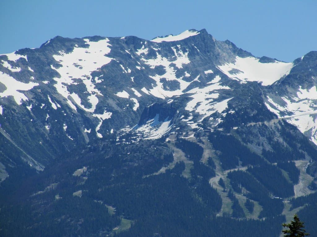
Whistler's alpine trails on Mount Sproatt suit fit riders and hikers who want a long climb to open alpine terrain and a moderate descent home, from June to October only. The RMOW closes the network from November to May, and e-bikes and dogs stay below the Flank Trail all year.

Uplift none

The alpine network closes from November to May.

Ink and wash painting of Whistler Valley.
Trail network · Whistler and Pemberton

Whistler Valley

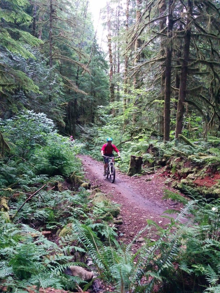
Whistler's valley trails suit riders of every level, from Easy doubletrack at Lost Lake to Comfortably Numb, which the RMOW rates Difficult.

Uplift none

Lost Lake goes to Nordic skiers from mid-December.

Every trail networks in one listSearch and filter all 8

8 trail networks

All 8 trail networks from A to Z