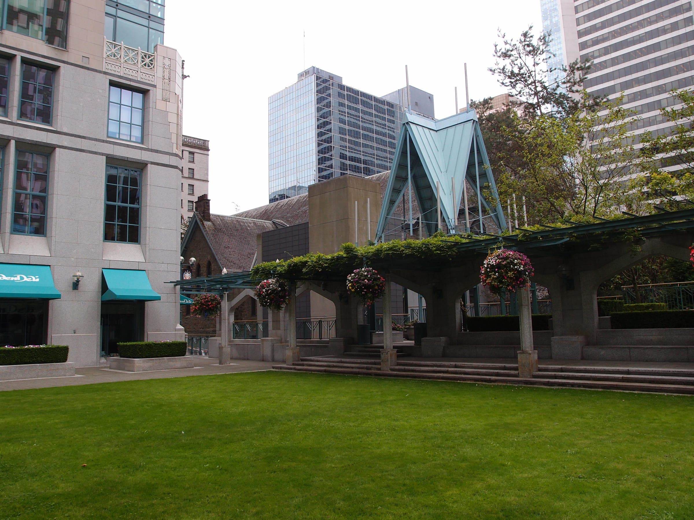
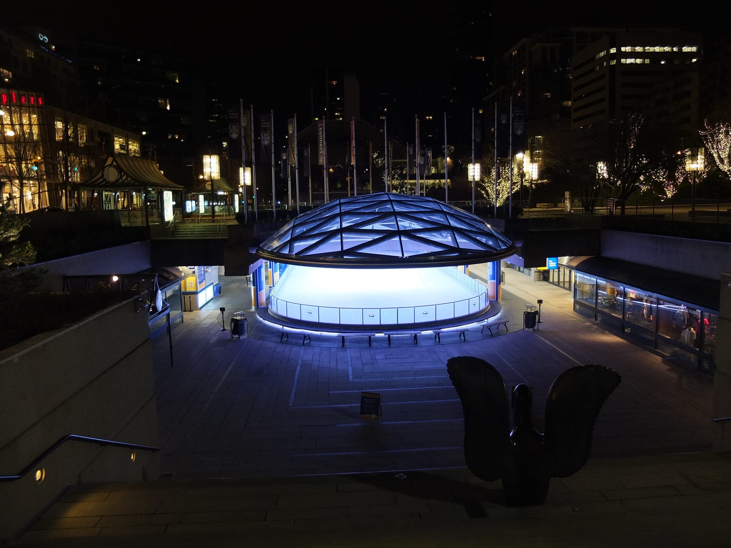
Stanley Park Seawall
49°18′ N 123°08′ W9.4 km · 3 m upEasyCity bike, Road bike
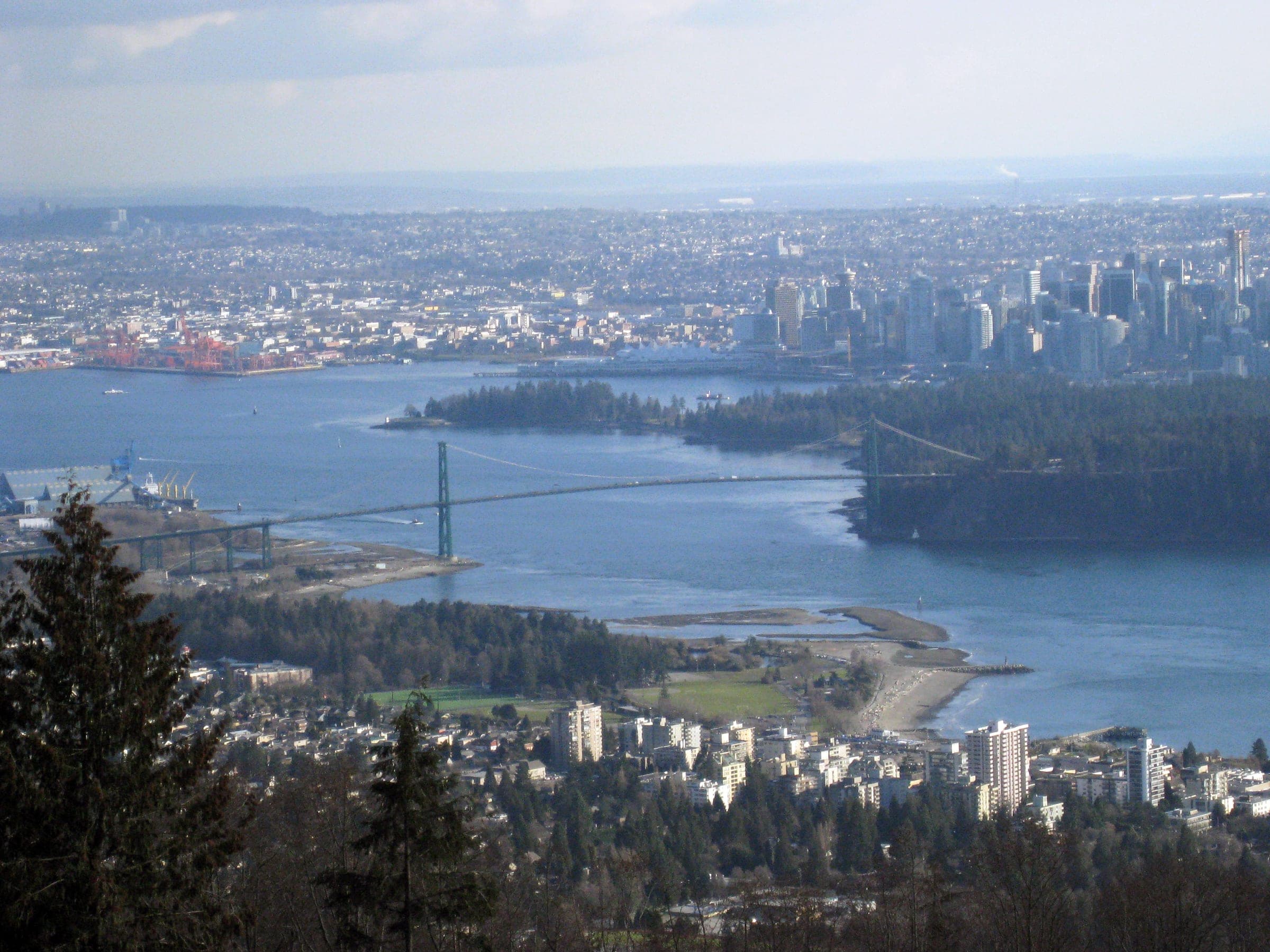
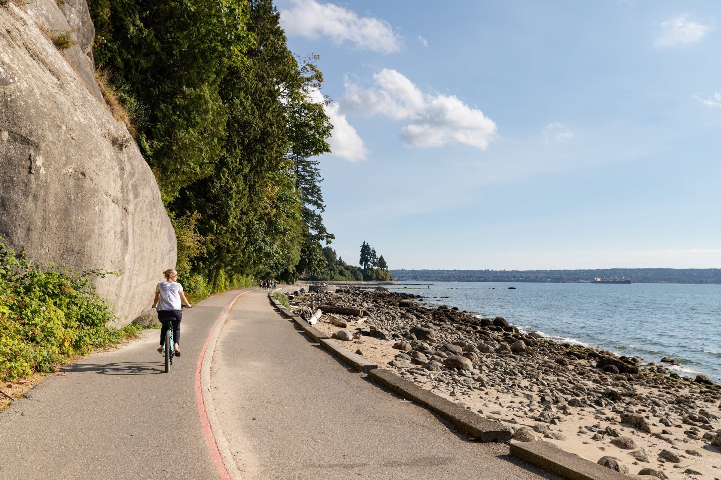
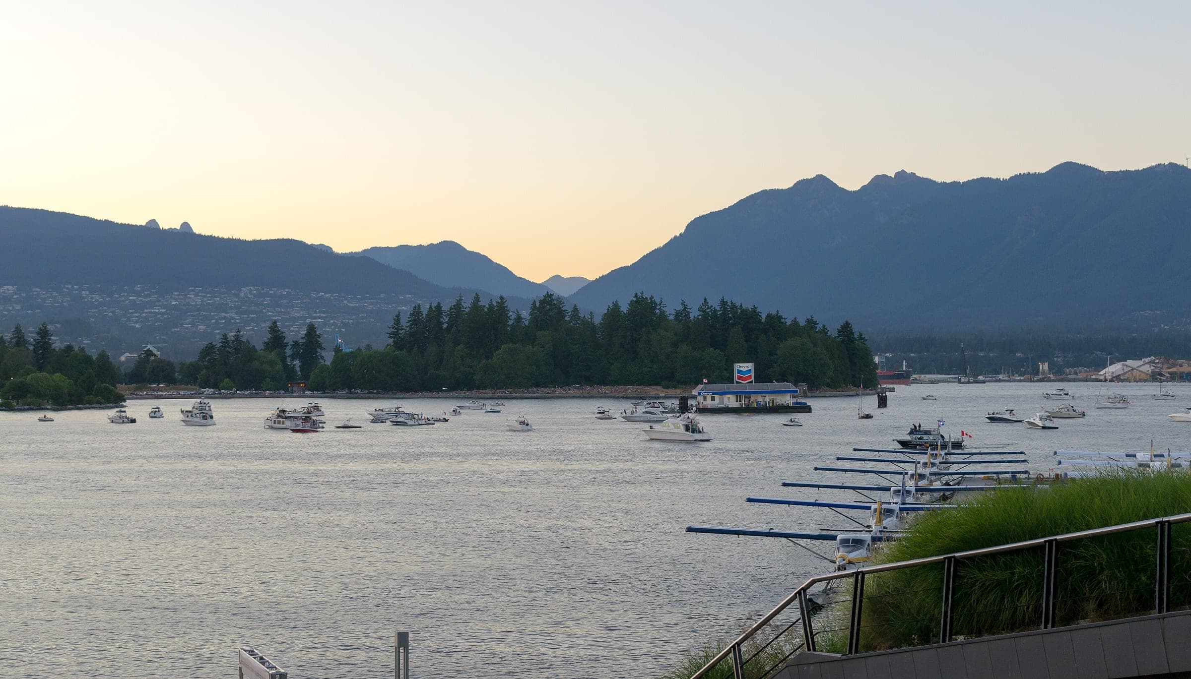
The Stanley Park Seawall is the one-way bike path around Stanley Park in downtown Vancouver, ridden counter-clockwise from Coal Harbour past Brockton Point and under the Lions Gate Bridge to Second Beach, and it suits anyone who wants the harbour and the mountains of Vancouver's North Shore in view without riding in traffic; the catch is the crowd on sunny summer weekends.
Photo Enoch Leung · Wikimedia Commons · CC BY-SA 2.0 and others, credited in the gallery
Field card · Route · No. 007 · checked 16 Oct 2026
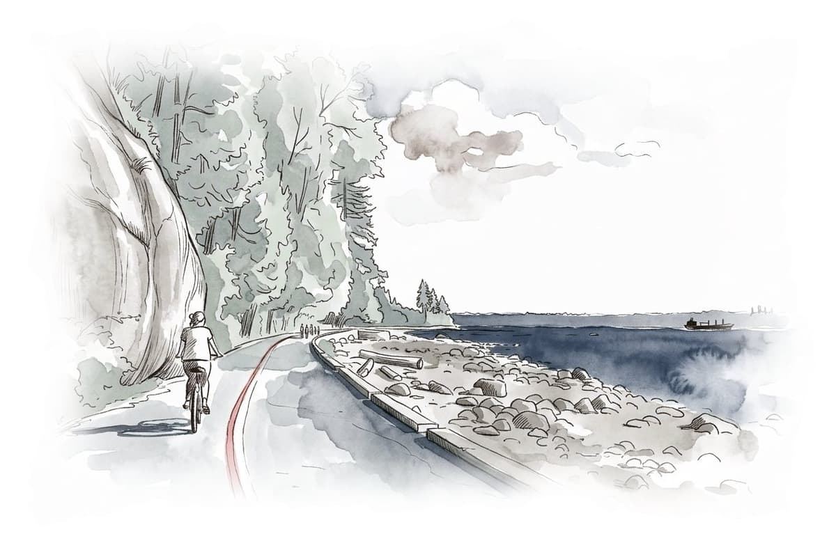

EasyLoopCity bike, Road bike
ShopsDrinking waterToiletsBike shopsTop of chart 50 m
Routed over OpenStreetMap with OSRM bike (FOSSGIS) and measured against Mapterhorn z15 on 2026-10-17. The waypoints run counter-clockwise. 0.1 km crosses bridges or water, where the elevation is drawn straight across. 0.1 km runs through tunnels, drawn straight through the hill. BRouter was not available for this build, so the surface and traffic mixes wait for the next one.
On the road
- Traffic
- The seawall splits into two marked paths, with walkers and joggers on the side closest to the water and cyclists and inline skaters on the inside path. The City warns that it gets busy on sunny summer days and weekends.
- Start
- Coal Harbour entrance to Stanley Park. The one-way bike path starts on the park's Coal Harbour side, off the Georgia Street entrance. The Park Board's guide puts bike rentals just outside the park on Denman Street near Georgia Street, and on Davie Street.
- Getting there
- Mobi bike share
- In winter
- Every winter the Park Board closes the seawall between Prospect Point and Third Beach for about three weeks, plus a few days at Ferguson Point, while crews scale loose rock off the cliffs. Signs in the park post the closure and the detour, and the City's seawall page gave no 2026/27 dates when we checked on 16 October 2026.
- In summer
- The City warns that the seawall gets busy on sunny summer days and weekends, so ride early.
Ride safely
- OpenStreetMap marks short dismount sections under the Lions Gate Bridge and near Third Beach, where the bike path briefly joins the walkers' side.
- The City says heavy rain, windstorms, ice and the spring thaw loosen rock on the cliffs above the seawall, and the Park Board scales them every winter for that reason.
Where to stop
Stops along the way
Brockton Point LighthouseView
The bike path rounds the lighthouse at the park's eastern tip.
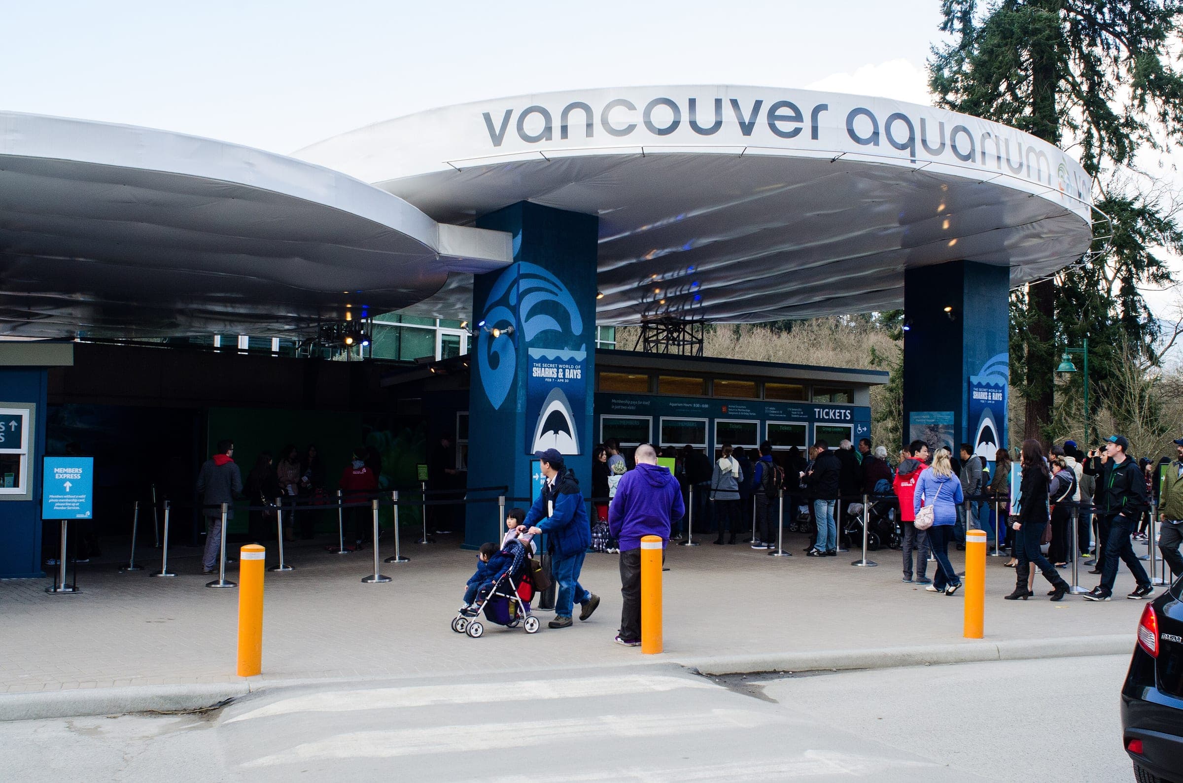
Vancouver AquariumSight
The aquarium sits inland from the seawall near Lumberman's Arch.
Third BeachRest
The Park Board's winter rock-scaling closure runs from Prospect Point to here.
Stanley ParkSight
Stanley Park's own page covers the forest trails and the attractions inland from the seawall.
West EndLunch
Denman Street in the West End holds the rental shops the Park Board's guide mentions and the neighbourhood's cafés.
Every stop OpenStreetMap lists along the line (18): drinking water, bike rental, cafés
- Drinking waterDrinking waterkm 0
- Stanley Park - Information BoothBike rentalkm 0.6
- Stanley Park - Vancouver AquariumBike rentalkm 0.7
- Stanley Park - Totem PolesBike rentalkm 1.6
- Drinking waterDrinking waterkm 1.6
- Drinking waterDrinking waterkm 3.2
- Lumberman's Arch CafeCaféskm 3.2
- Drinking waterDrinking waterkm 4.8
- Drinking waterDrinking waterkm 6.6
- Stanley Park - Third Beach Parking LotBike rentalkm 6.7
- Drinking waterDrinking waterkm 7.9
- Stanley Park - Second Beach NorthBike rentalkm 8
- Stanley Park - Second Beach SouthBike rentalkm 8.2
- Drinking waterDrinking waterkm 8.2
- Chilco & BarclayBike rentalkm 8.9
- Drinking waterDrinking waterkm 9.1
- Chilco & RobsonBike rentalkm 9.1
- Drinking waterDrinking waterkm 9.3
From OpenStreetMap, within each kind’s reach of the line. Opening hours change; check before you rely on one.
Park and forest rules
The Park Board's map and guide says the seawall runs counter-clockwise around the park, and its map marks the point past which clockwise cycling is not permitted. Smoking and open fires are banned everywhere in Stanley Park, by the City's digital map page.
Bikes go one way on the Stanley Park Seawall. The Park Board's guide sends riders counter-clockwise from the Coal Harbour side, out past Brockton Point and its lighthouse, then along the park's north shore under the Lions Gate Bridge and down the west side to Third Beach and Second Beach. The bike path runs on the inside of the seawall, and the walkers keep the edge by the water. From Second Beach this route cuts east along the bike path on the south side of Lost Lagoon to close the loop at the start.
Crews began the seawall in Stanley Park in 1917, and the full loop was declared complete on 21 September 1980, when the last paving went down between Third Beach and Second Beach. Master stonemason James Cunningham oversaw much of the work from the late 1920s until he retired 35 years later, and a plaque to him sits on the rock face above the seawall on the park's west side. The City puts the ride at about an hour by bike.
Each winter the Park Board closes the stretch between Prospect Point and Third Beach for about three weeks, plus a few days at Ferguson Point, while crews scale loose rock off the cliffs. It posts the closure and a signed detour in the park. The City's page gave no dates for the 2026/27 closure when we checked on 16 October 2026.
Worth knowing
- Rent on Denman Street near Georgia Street, where the Park Board's guide puts the rental shops just outside the park.
- Go early on a sunny weekend, since the City warns that the seawall fills up then.

Quick answers about Stanley Park Seawall
Which way do bikes go on the Stanley Park Seawall?
Counter-clockwise. The Park Board's map and guide says the Stanley Park Seawall runs counter-clockwise for bikes from the Coal Harbour side, and its map marks the point past which clockwise cycling is not permitted.
How long does it take to cycle the Stanley Park Seawall?
About an hour. The City of Vancouver says the Stanley Park section of the seawall takes about 1 hour to cycle and 2 to 3 hours to walk.
Is the Stanley Park Seawall open in winter?
Yes, apart from one stretch for a few weeks. The Park Board closes the Stanley Park Seawall between Prospect Point and Third Beach for about three weeks each winter for rock scaling, and it posts signed detours in the park.
Where can you rent a bike for the Stanley Park Seawall?
On Denman Street near Georgia Street. The Park Board's guide puts bike and rollerblade rentals just outside Stanley Park there and on Davie Street.
Where can you buy food and water on the Stanley Park Seawall ride?
OpenStreetMap lists shops at no point within reach of the Stanley Park Seawall line, and drinking water at 8. The longest stretch without shops is 9.4 km, so carry what you need for it.
Within 8 km
Places to stay nearby
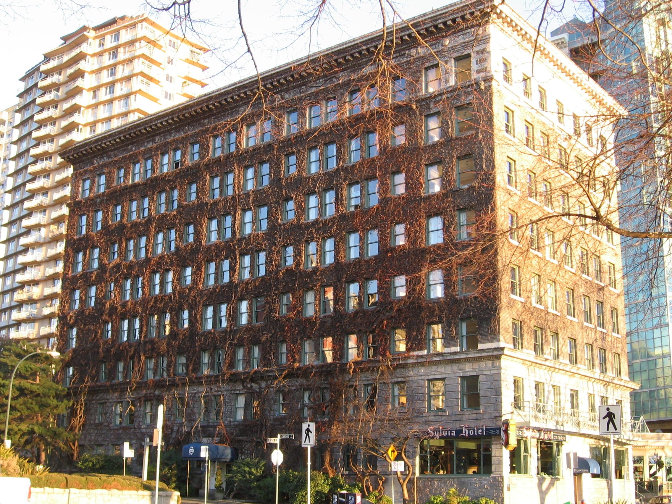
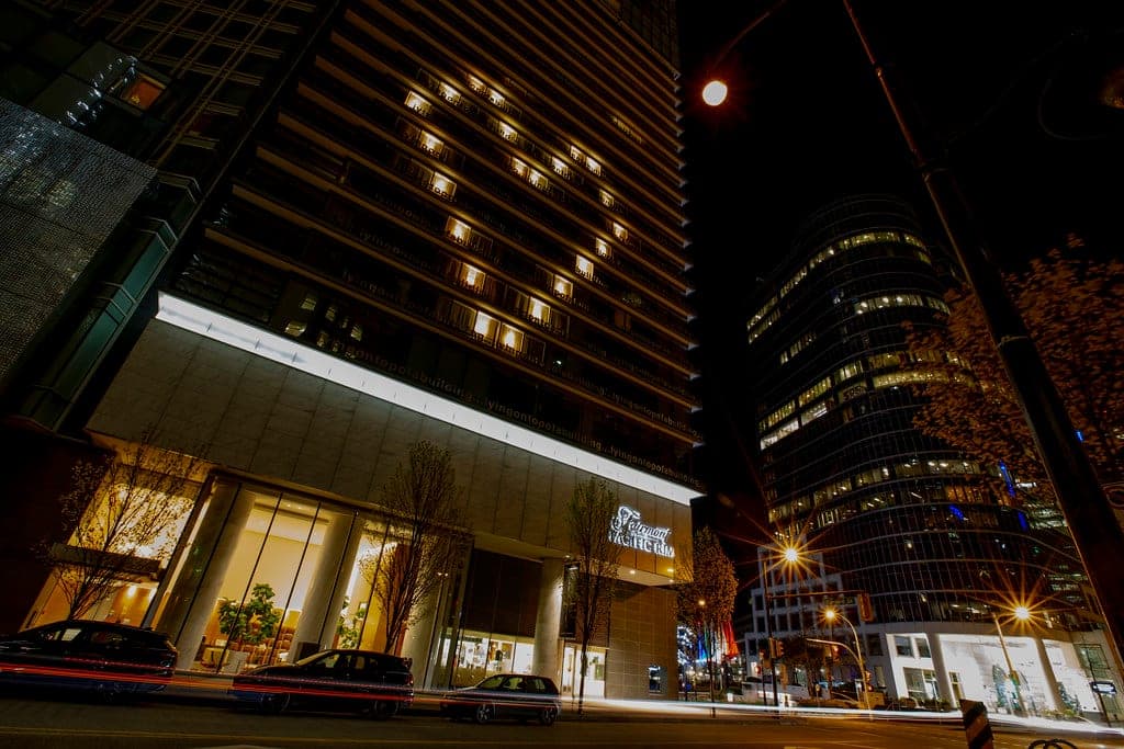
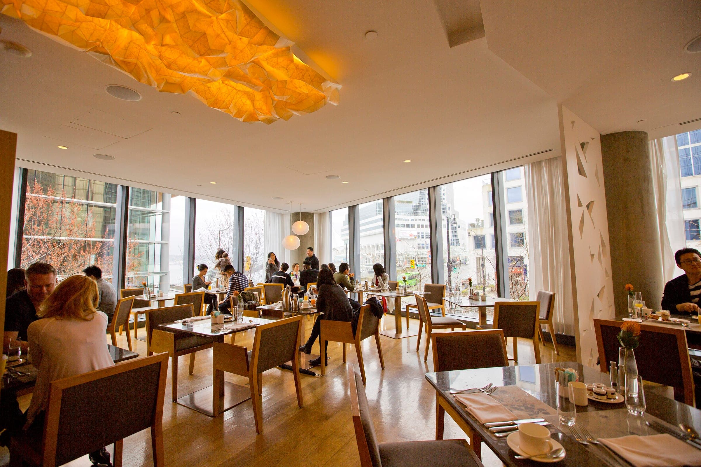
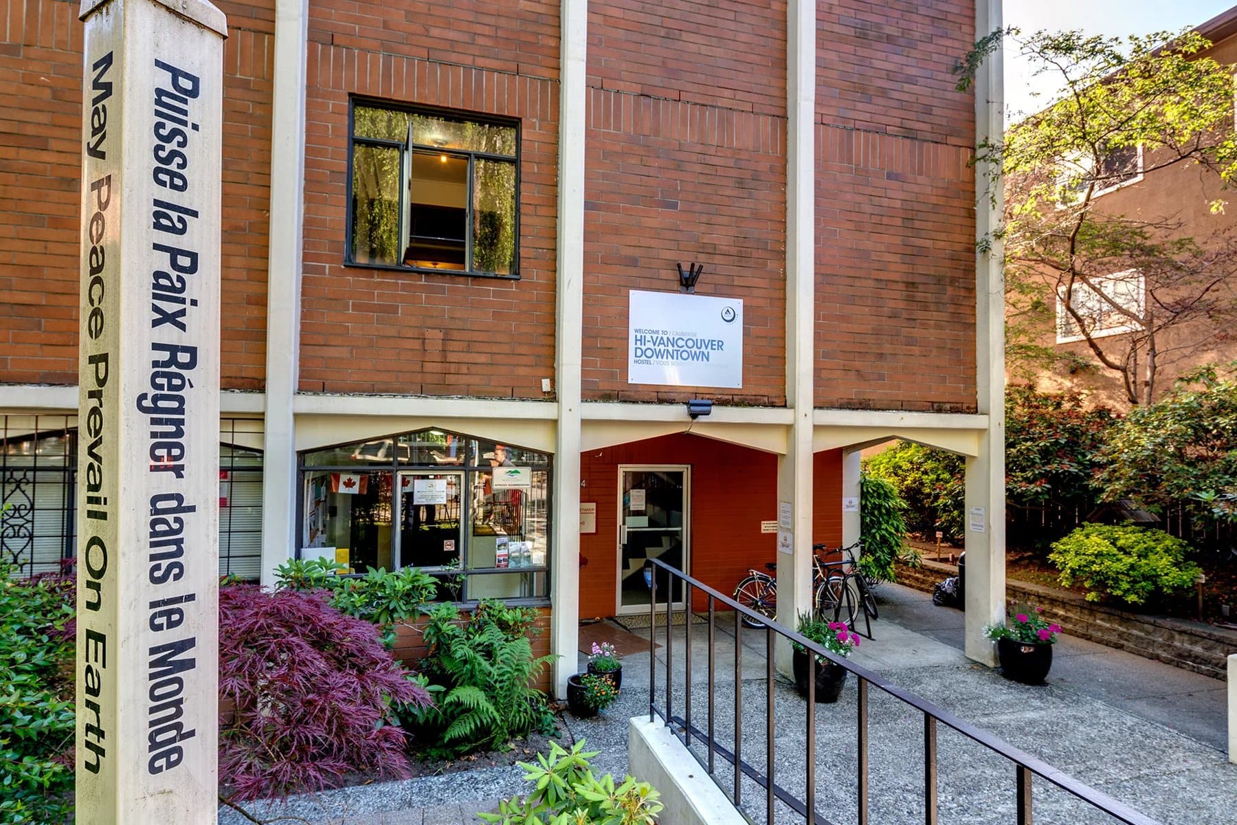
Within 8 km
Places to eat and drink nearby

Within 8 km