Sea to Sky Gondola backcountry and Sky Pilot
49°38′ N 123°05′ WATES Complex terrain2,031 mGuide recommendedSeasonal
The Sea to Sky Gondola near Squamish lifts ski tourers and splitboarders to the edge of more than 1,300 hectares of complex, uncontrolled avalanche terrain around Sky Pilot, so it suits trained, self-sufficient parties, and the operator says it is no place to learn on your own.
Closed
The Sea to Sky Gondola shuts for its annual maintenance in November
The Sea to Sky Gondola's hours page closes it for annual maintenance from 16 to 26 November 2026, and its FAQ starts the closure on 9 November. Both put the reopening on 27 November, with the gondola running daily from 9 am to 5 pm, and the gondola's shop sells dated tickets only up to 15 November, which matches the hours page. The FAQ says Guest Services and the Basecamp shop stay open every day through the closure. Hikers finishing the Sea to Summit Trail and ski tourers heading for Sky Pilot depend on the gondola, so plan those trips outside 9 to 26 November.
Checked 2026-10-16 · seatoskygondola.com
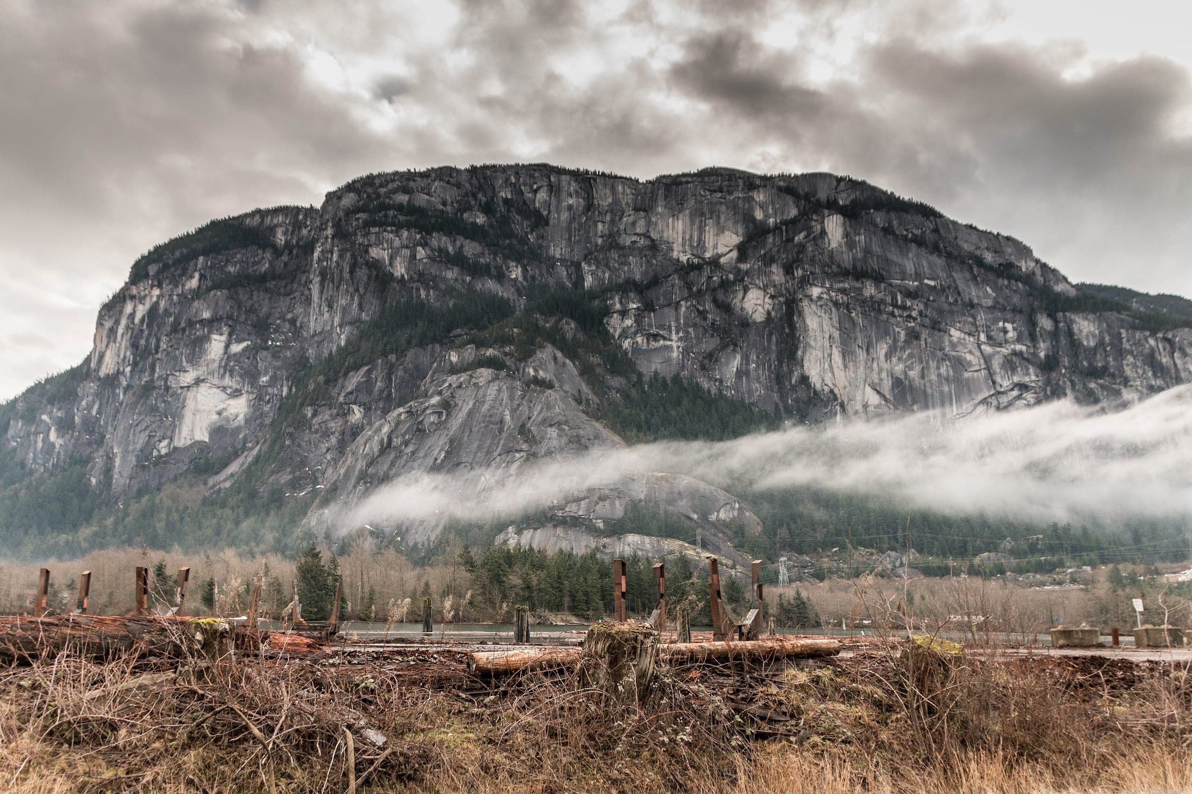
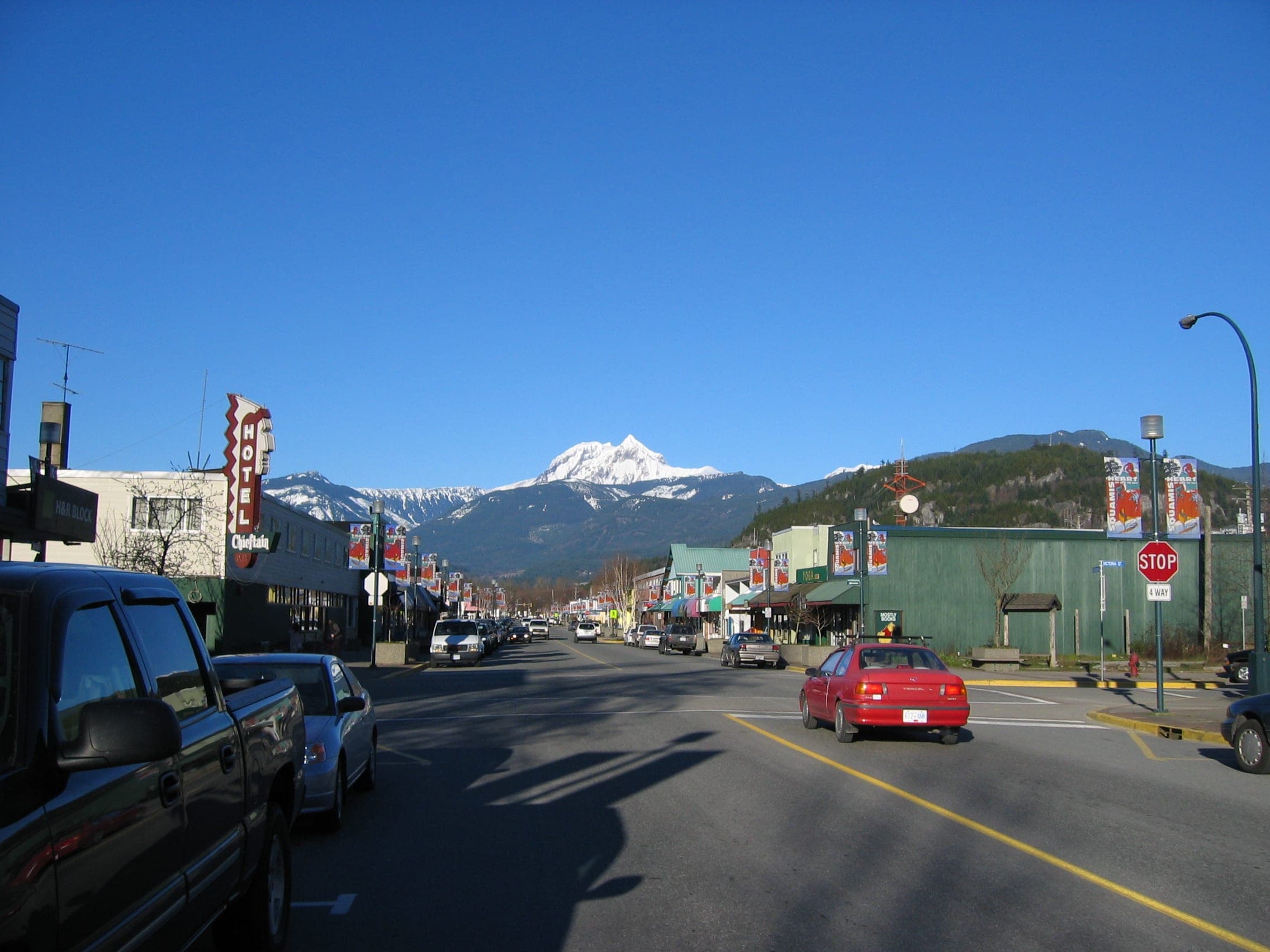
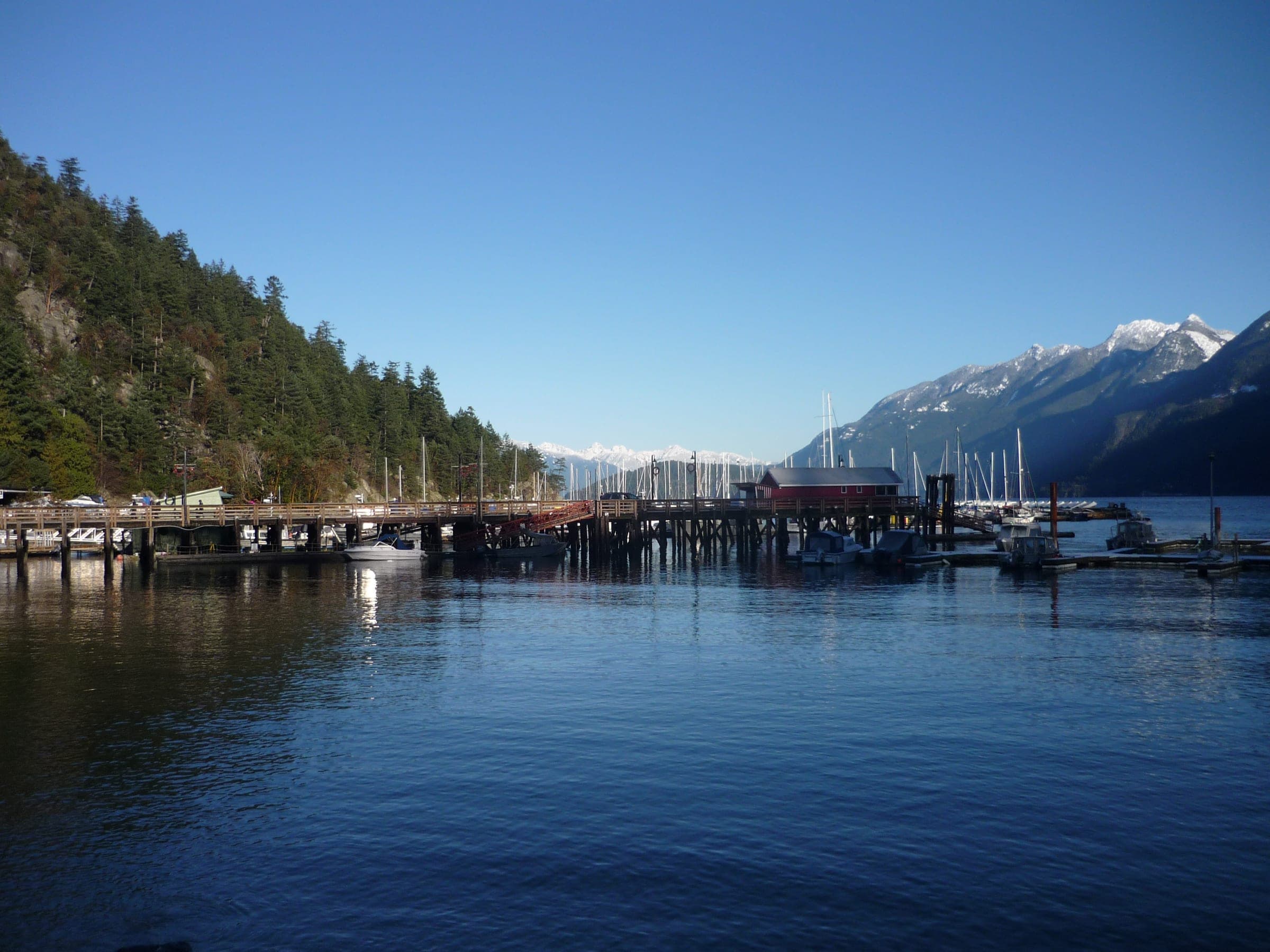
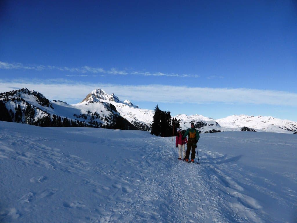
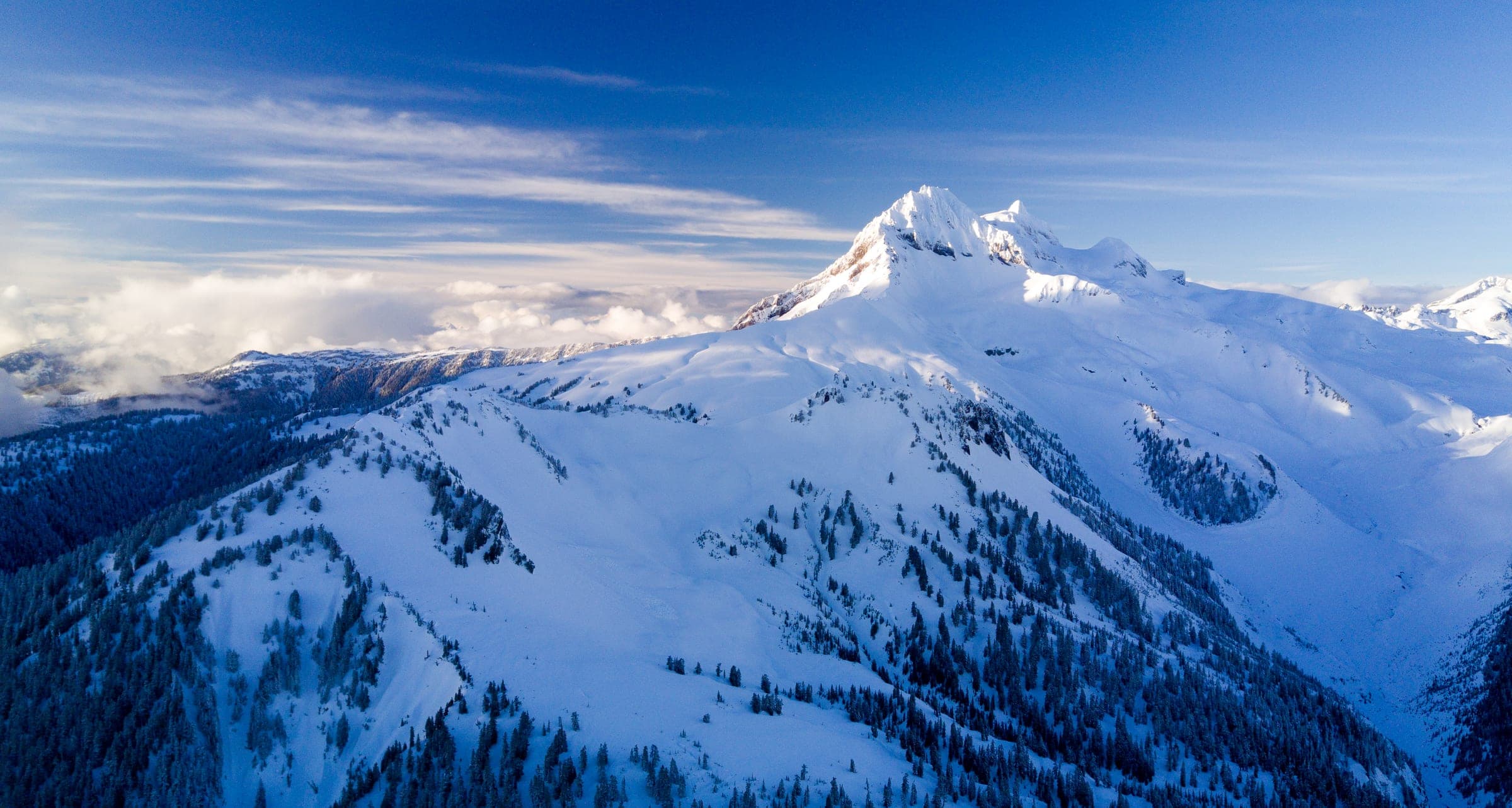
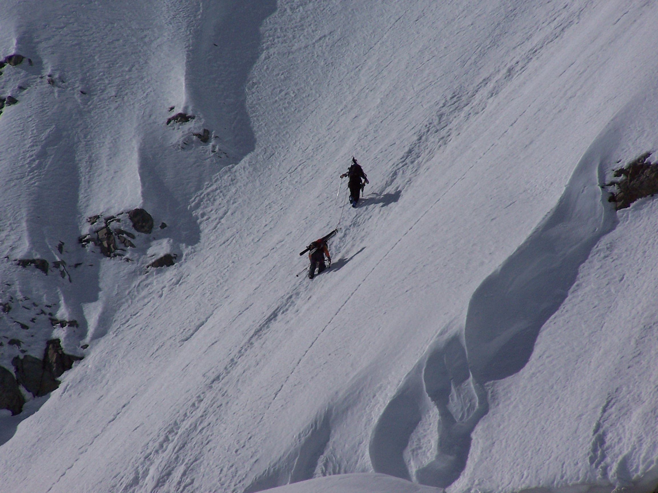
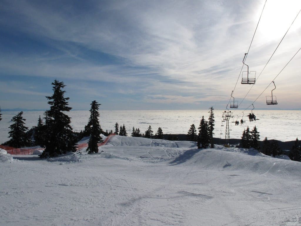
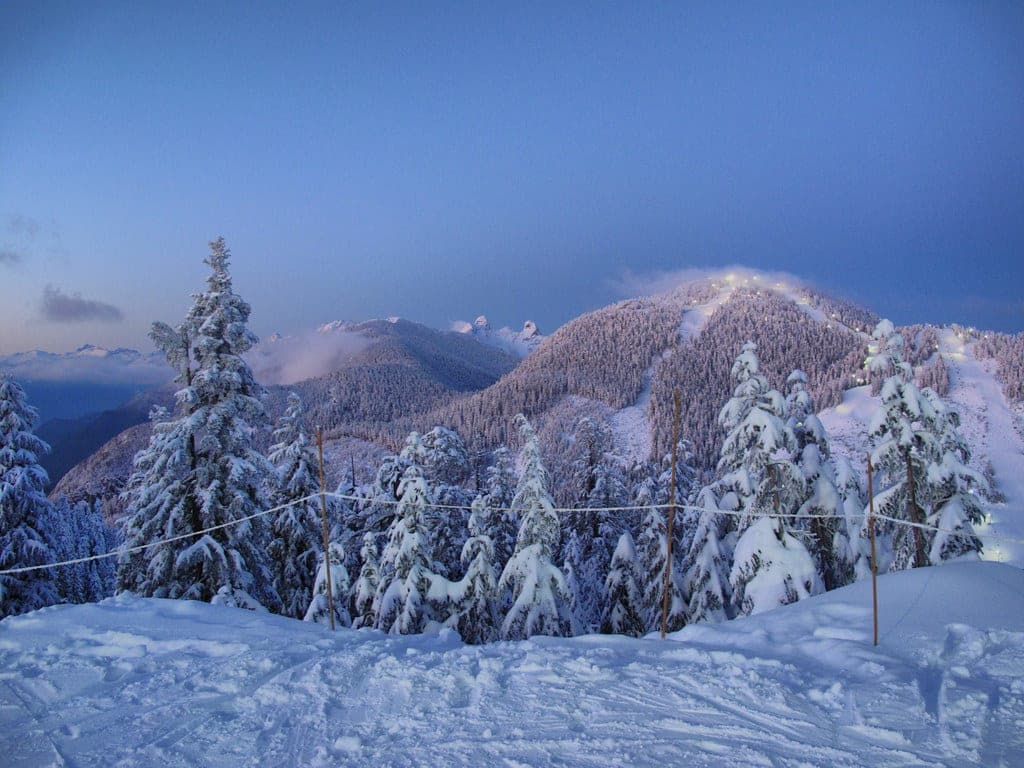
Photo kcxd · Wikimedia Commons · CC BY 2.0 and others, credited in the gallery
Field card · Backcountry zone · No. 009 · checked 16 Oct 2026
Plan to be back well before the last download.
Read the terrain
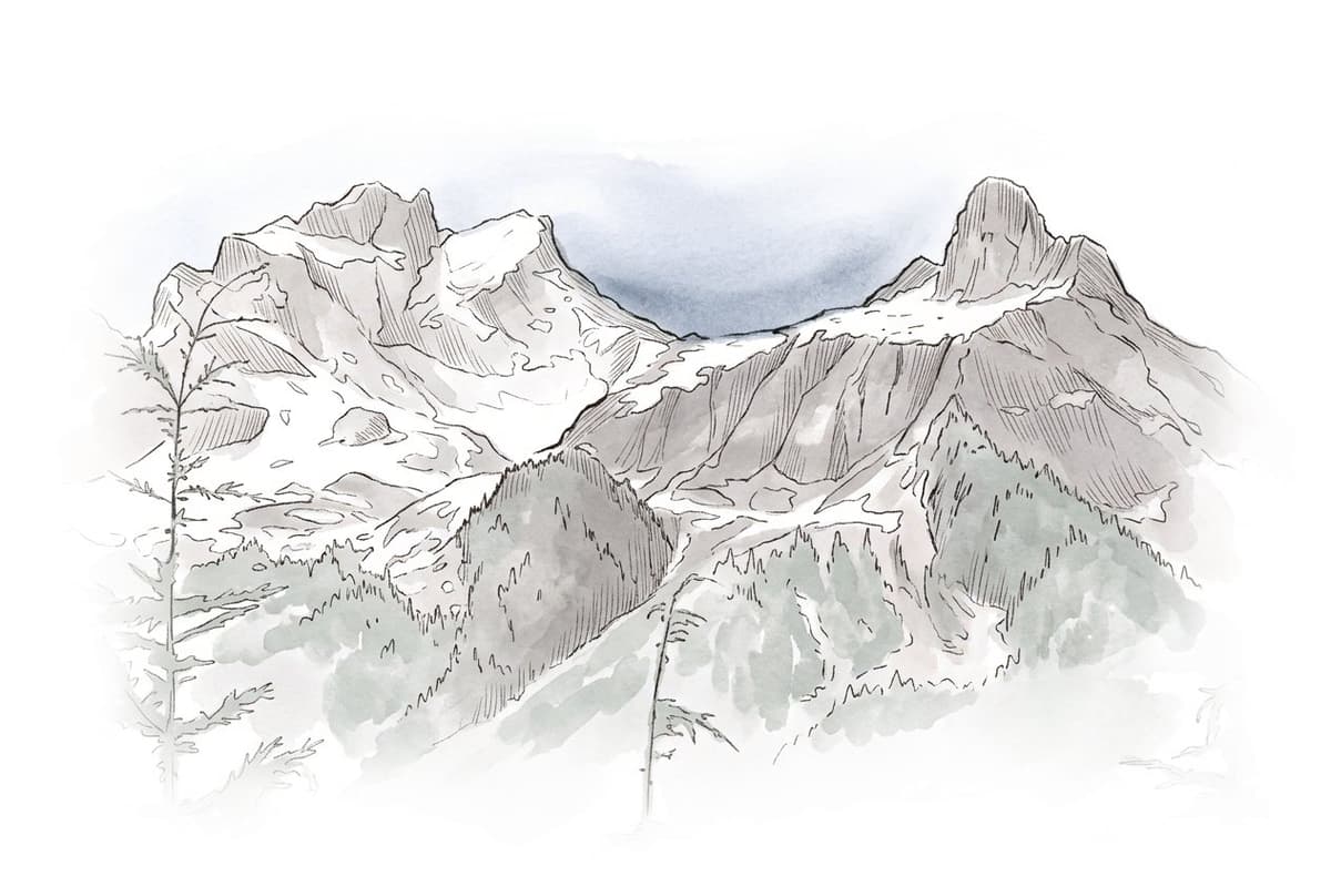
The gondola opens more than 1,300 hectares of the upper Shannon Creek watershed around Sky Pilot, Co-Pilot, Skyline Ridge and Goat Ridge, with steep alpine slopes, gullies, couloirs and dense forest. The operator calls it complex, uncontrolled avalanche terrain, and nobody marks, maintains, controls or patrols the routes. Avalanche Canada's Trip Planner maps most of its Sea to Sky Gondola area as complex, with Sky Pilot and Mount Habrich inside complex zones, and puts sections of the Backcountry Access Road in challenging zones.
Gate rules
- Skis and snowboards ride the gondola only with the appropriate backcountry gear, in the winter months and when conditions permit.
- The gondola will not load skis or boards when the Avalanche Canada forecast reaches High or Extreme. Its page still names the South Coast region, and Avalanche Canada now forecasts this ground as the Sky Pilot subregion.
- Check the day's upload status and the last download time before you travel, and plan to be back well before it.
- Every member of the group carries a transceiver, probe and shovel and knows how to use them. The operator asks you never to enter the backcountry alone.
Watch for these hazards
- Sea to Sky Gondola does not assess snow stability or rate avalanche hazard. Terrain beyond the maintained area goes without avalanche control or patrol.
- Avalanche Canada's Trip Planner maps most of the touring terrain as complex, and both Sky Pilot and Mount Habrich fall inside complex zones.
- Severe weather can move the last download earlier, so the operator tells you to be ready to ski down the service road.
- Conditions at the Habrich Ridge weather station at 1,550 m can differ a lot from what you meet at other elevations and aspects, the operator warns.
Pick a route that suits the day
Backcountry Access Road
Challenging terrain
From the gondola summit the Backcountry Access Road leads into the upper Shannon Creek watershed. Avalanche Canada's Trip Planner maps most of it as simple terrain with challenging sections, and the operator says its map of the road is for orientation only.
See the terrain in 3D
Gondola access shortens the approach, and the operator is clear that it leaves the terrain uncontrolled. From the summit the Backcountry Access Road leads into the upper Shannon Creek watershed, where four alpine bowls fall up to 1,100 m under Sky Pilot, Co-Pilot, Skyline Ridge and Goat Ridge. Routes beyond the maintained area go unmarked and unpatrolled. Avalanche Canada's Trip Planner colours most of the area complex, and the operator itself calls it unsuitable for beginners.
Before you leave home, read the Avalanche Canada forecast for the Sky Pilot subregion and the operator's daily conditions page. The gondola stops loading skis and boards at High or Extreme danger, and the last download can move earlier in a storm, which leaves the service road as your way down. Its Habrich Ridge station at 1,550 m and the Exit Gully camera give you a read on wind and visibility before you commit. The operator also links to Zenith Mountain Guides' conditions reports for the Sea to Sky region.
If you are new to touring, start with an AST 1 and a guided day in terrain that suits you, which is the operator's own advice. Call 911 first in an emergency and the gondola's line second. The area sits in the territory of the Sḵwx̱wú7mesh Úxwumixw (Squamish Nation).
Worth knowing
- Leave a trip plan with someone who is staying home, agree your route and a turnaround time, and set an emergency plan with your partners. The operator links to the free planner at adventuresmart.ca.
- North Shore Rescue's ten essentials apply here as much as on the North Shore, and a headlamp heads its list because running out of light causes the most overdue callouts it sees.
- Avalanche Canada sets AST 1 at two days or more and offers AST 2 and Managing Avalanche Terrain for complex ground. Licensed providers list their dates at avalanche.ca/training/courses.
- Watch the last download time all day. The operator says to plan to be back well before it.
Quick answers about Sea to Sky Gondola backcountry and Sky Pilot
Can you take skis up the Sea to Sky Gondola?
Yes, in the winter months when conditions permit, as long as you carry the appropriate backcountry gear. The gondola stops loading skis and snowboards when the Avalanche Canada forecast reaches High or Extreme.
Is the Sea to Sky Gondola backcountry patrolled?
No. The operator says terrain beyond its maintained area is uncontrolled and unpatrolled complex avalanche terrain, and its routes are neither marked nor maintained.
Which avalanche forecast covers the Sea to Sky Gondola?
Avalanche Canada now forecasts this area as the Sky Pilot subregion. The gondola's own page still refers to the South Coast region, and its link opens the Avalanche Canada map centred on the gondola base.
What ATES rating does the Sea to Sky Gondola backcountry have?
The area is rated complex. Avalanche Canada's Trip Planner maps most of the Sea to Sky Gondola area as complex terrain, and the operator describes it the same way.
How long is a tour on Sea to Sky Gondola backcountry and Sky Pilot?
A typical tour on Sea to Sky Gondola backcountry and Sky Pilot climbs the operator describes four alpine bowls with up to 1,100 m of vertical relief above the gondola summit. OpenStreetMap puts Sky Pilot Mountain at 2,031 m.
How do you get to the Sea to Sky Gondola backcountry and Sky Pilot trailhead?
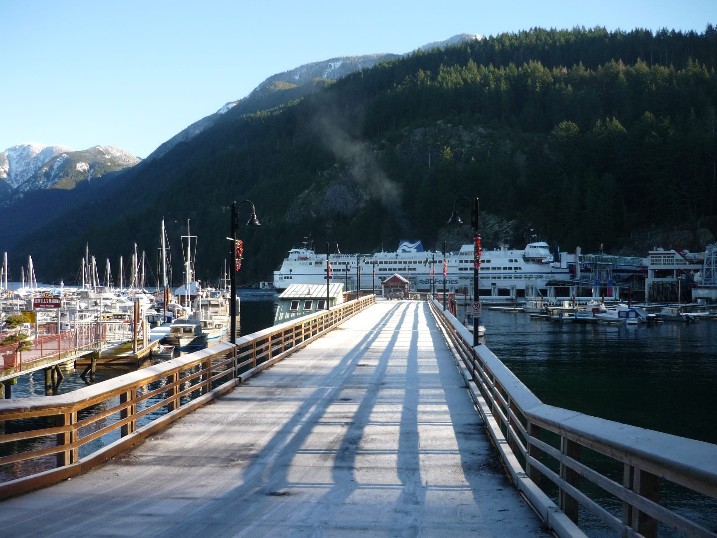
The Sea to Sky Gondola summit, start of the Backcountry Access Road trailhead is about 2 hr 35 min by car from Horseshoe Bay ferry terminal in winter, 40.1 km on the road.
Within 40 km
Ski resorts nearby



Within 80 km
Backcountry zones nearby
Within 35 km
Places to stay nearby
Within 35 km