Diamond Head and Elfin Lakes
49°47′ N 122°59′ WATES Challenging terrain+600 mSeasonal
Diamond Head and Elfin Lakes, above Squamish in Garibaldi Park, suit a first hut trip on skis or snowshoes, because BC Parks poles the 11 km route to a heated, bookable 33-bunk shelter, and the trade-off is an open ridge where whiteouts make the route hard to find.
Trail closure
BC Parks closes Rampart Ponds and the trail past Zig Zag Creek
A washout took out the trail around the bridge over Zig Zag Creek, about 1 km short of Rampart Ponds, and BC Parks closed the campground and the trail past the creek in July 2025. BC Parks says no other route gets through and asks hikers to keep out of the area until further notice. Opal Cone and Diamond Head stay open as day hikes from Elfin Lakes, and so do the Gargoyles.
Checked 2026-10-17 · bcparks.ca
Wildlife notice
BC Parks warns of more bears all through Garibaldi Park
BC Parks warned on 5 September 2026 that bears are more active right across Garibaldi Park. Carry bear spray and know how to use it, and stay alert, especially at dawn and dusk. If you camp, cook and eat away from your tent pad, and store food, garbage, toiletries and anything else with a scent in the bear caches whenever you leave the site or go to sleep. Pack out everything you carried in. Call the Conservation Officer Service at 1-877-952-7277 to report bears and aggressive wildlife.
Checked 2026-10-17 · bcparks.ca
Photo Loneshieling · Wikimedia Commons · CC BY-SA 4.0 and others, credited in the gallery
Field card · Backcountry zone · No. 003 · checked 16 Oct 2026
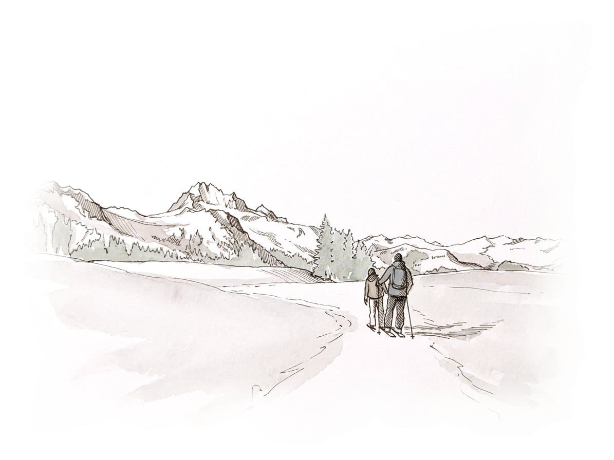

Bring your own light, since the shelter's solar lights can fail.
Read the terrain
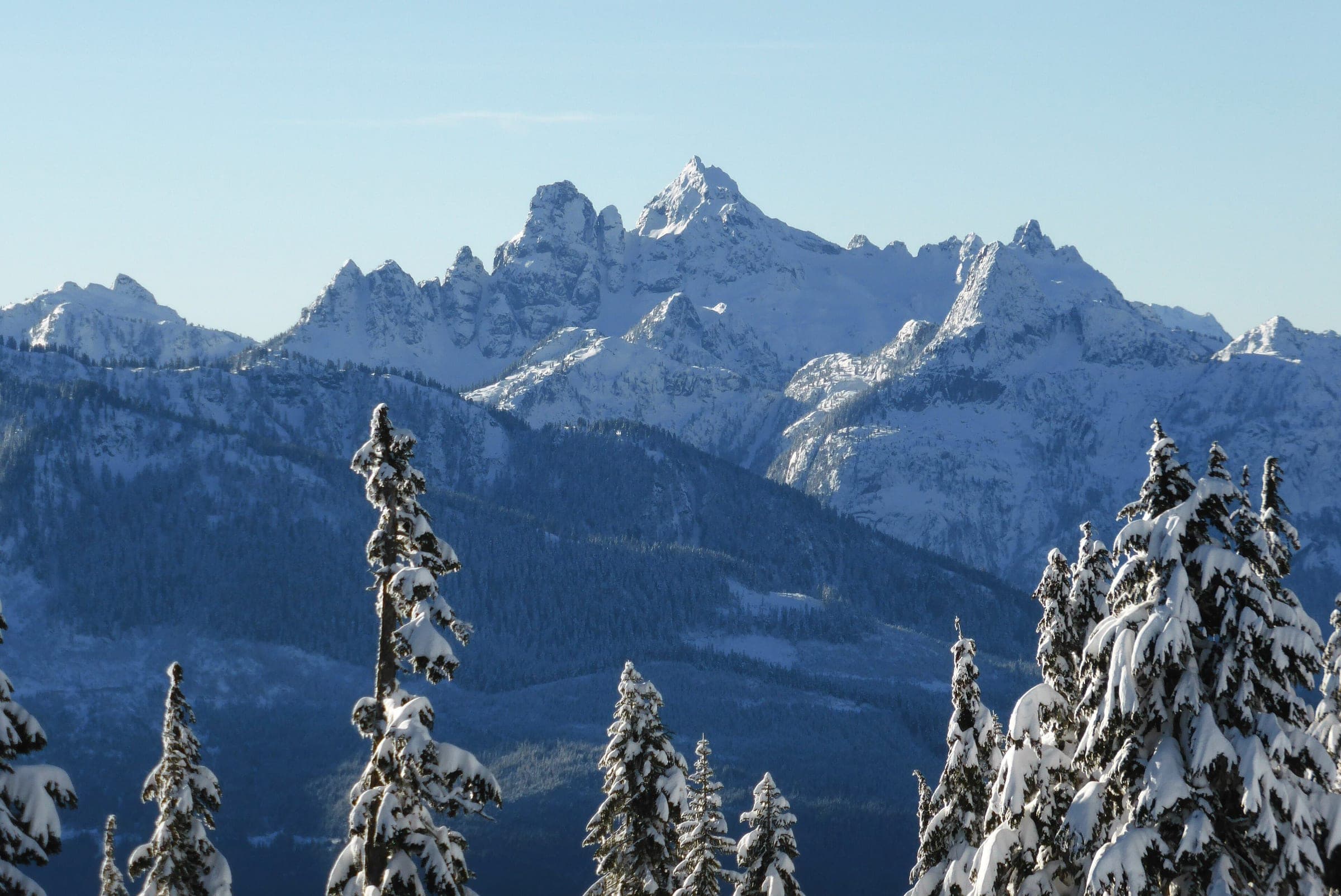
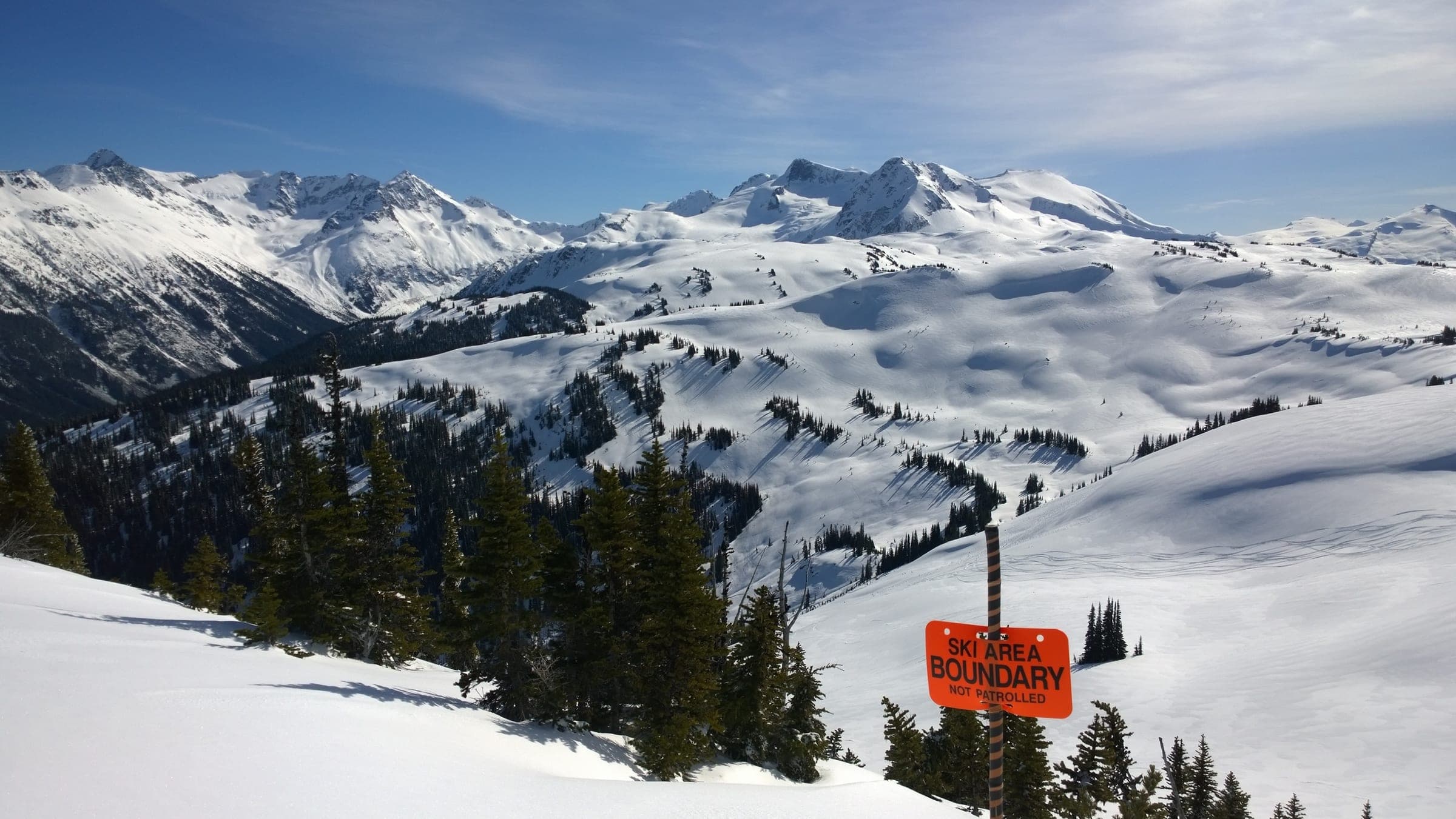
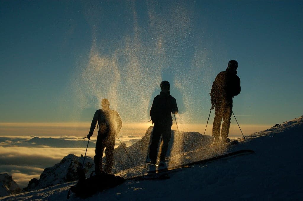
BC Parks calls Diamond Head an intermediate to advanced touring area and the main winter area of Garibaldi Park. The route climbs an old road to the Red Heather day-use shelter, then follows orange poles over the open crest of Paul Ridge to Elfin Lakes, with Columnar Peak, the Gargoyles, Opal Cone and the Mamquam Icefield coming into view. Avalanche Canada's Trip Planner maps most of the winter route as simple and puts a short stretch of the climb above Red Heather in a challenging zone. The older Canadian Avalanche Association list rated the shelter trip simple, and the VOC's interim list rates yo-yo laps on the north side of Paul Ridge challenging. The slopes toward Columnar Peak carry challenging and complex zones on Avalanche Canada's map.
Gate rules
- Snowmobiles are banned in Garibaldi Park, and motor vehicles keep to park roads and parking lots.
- Dogs and other pets are prohibited in Garibaldi Park, with an exception for certified guide and service dogs carrying proof of accreditation.
- Elfin Lakes Shelter takes reservations only, all year, and the named occupant may be asked for ID.
- Leave the snow poles for the rangers to adjust. Pulling or pushing them can break them, and a missing pole matters in a whiteout.
Watch for these hazards
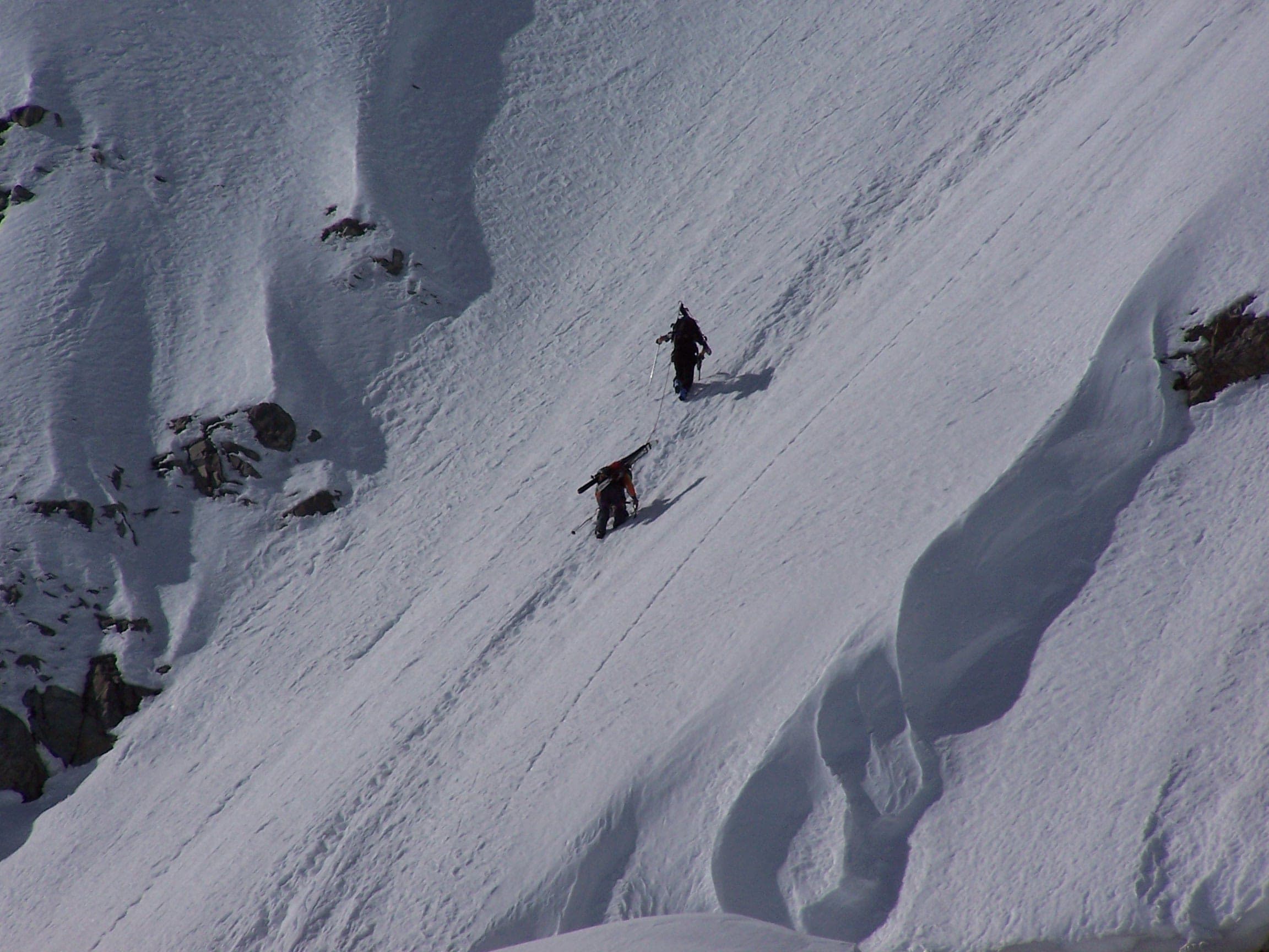
- Whiteouts make route finding on the open ridge difficult, BC Parks warns, and dangerous when the poles are down.
- BC Parks expects heavy snow and poor weather and tells visitors to be ready to camp out overnight after an injury, an accident or a storm.
- Avalanche Canada's Trip Planner puts a short stretch of the route above Red Heather in a challenging zone, and the slopes toward Columnar Peak carry complex zones.
- BC Parks says every visitor should carry a transceiver, probe, shovel and first-aid kit and know avalanche assessment and rescue.
- Cell coverage reaches most west-facing spots along Paul Ridge to Elfin Lakes, according to BC Parks, and fades elsewhere.
Pick a route that suits the day
Diamond Head lot to Elfin Lakes Shelter
600 m ascent · Challenging terrain
The route climbs an old road to the Red Heather shelter at about 1,450 m, then follows orange poles over Paul Ridge to the shelter at Elfin Lakes, 11 km from the lot. Avalanche Canada's Trip Planner puts a short stretch above Red Heather in a challenging zone, and the older Canadian Avalanche Association list rated the trip simple.
Paul Ridge north side
Challenging terrain
Skiers lap the north side of Paul Ridge from the winter route. The UBC Varsity Outdoor Club's interim ATES list rates these yo-yo laps challenging.
See the terrain in 3D
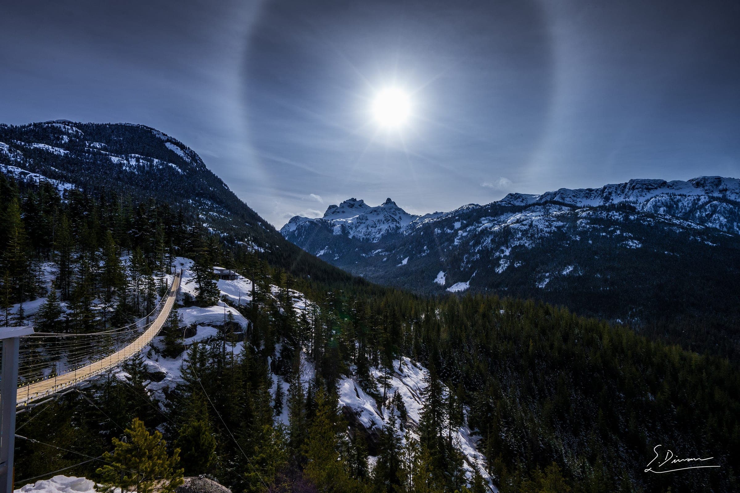
Turn off Highway 99 onto Mamquam Road about 4 km north of downtown Squamish and follow the road up past Quest University to the Diamond Head lot at 914 m, 16 km from the highway. Chains are mandatory from October through May, even on a bare road. From the lot the route climbs an old road to the Red Heather shelter, then picks up the orange snow poles that rangers set from Red Heather to Elfin Lakes. BC Parks allows three to five hours for the 11 km.
Paul Ridge runs open and high to about 1,700 m, and BC Parks warns that whiteouts make route finding there difficult, especially when the poles are down. Avalanche Canada's Trip Planner maps most of the route as simple and colours a short stretch above Red Heather challenging. Its map turns challenging and complex on the slopes toward Columnar Peak and Diamond Head, so day trips from the shelter need their own forecast check for the Garibaldi subregion.
Elfin Lakes Shelter sleeps 33 in 11 double and 11 single bunks, with a propane heater, eight propane burners and pots for melting snow. BC Parks takes bookings up to three months ahead from 7 am Pacific, and you choose a bunk on arrival. BC Parks says several camp stoves running indoors cause most carbon monoxide build-up, so open the doors and windows whenever stoves are lit. Garibaldi Park lies in the territory of the Sḵwx̱wú7mesh Úxwumixw (Squamish Nation).
Worth knowing
- Book Elfin Lakes Shelter at camping.bcparks.ca. In 2026 BC Parks charges $30 an adult and $10 a child aged 6 to 15 each night with tax in the price, plus a $6 transaction fee per reservation, and visitors who live outside BC pay an extra $20 flat fee.
- Leave a trip plan with someone at home: your route, your group, your start time and your turnaround time, plus when they should call 911. AdventureSmart's free planner is at adventuresmart.ca.
- North Shore Rescue's ten essentials hold here too, with a headlamp first. The shelter's solar lights can fail in poor weather, BC Parks says, so bring your own light.
- Take an AST 1 before your first trip. Avalanche Canada sets the course at two days or more and lists licensed providers at avalanche.ca/training/courses.
- Most skiers use telemark or alpine touring gear here. BC Parks says light cross-country equipment is unsuitable for the terrain and snow.
Quick answers about Diamond Head and Elfin Lakes
Do you need to book Elfin Lakes Shelter in winter?
Yes. BC Parks requires reservations at Elfin Lakes Shelter all year, bookable up to three months ahead from 7 am Pacific at camping.bcparks.ca or by phone at 1-800-689-9025.
Do you need chains to drive to the Diamond Head parking lot?
Yes. BC Parks makes chains mandatory from October through May, and you must carry properly fitting chains even when the road is bare.
How long does it take to ski to Elfin Lakes?
BC Parks allows three to five hours one way for the 11 km from the Diamond Head lot to Elfin Lakes, with 600 m of elevation change. The VOC's ski guide puts the winter trip at three to four hours.
Are dogs allowed at Elfin Lakes?
No. Dogs and other pets are prohibited in Garibaldi Park, except certified guide and service dogs with proof of accreditation.
Is the Elfin Lakes route avalanche terrain?
Yes. Avalanche Canada's Trip Planner maps most of the winter route as simple and a short stretch above Red Heather as challenging, and BC Parks expects every visitor to carry a transceiver, probe and shovel.
When can you ski tour Diamond Head and Elfin Lakes?
The touring season on Diamond Head and Elfin Lakes runs bC Parks says the Diamond Head ski season generally runs from mid-November to April or May, and rangers pole the winter route from Red Heather to Elfin Lakes. Avalanche Canada starts its daily forecasts for 2026/27 on 25 November at 4 pm.
Do you need a guide for Diamond Head and Elfin Lakes?
Experienced, equipped groups tour Diamond Head and Elfin Lakes on their own, though a local guide finds better snow.
Where do you check avalanche danger for Diamond Head and Elfin Lakes?
Read the day's bulletin from Avalanche Canada (https://avalanche.ca/map) before every tour on Diamond Head and Elfin Lakes.
Within 40 km
Ski resorts nearby


Within 80 km
Backcountry zones nearby
Within 35 km
Places to stay nearby

Within 35 km