Mount Strachan
49°25′ N 123°12′ WATES Complex terrain1,454 mGuide recommendedSeasonal
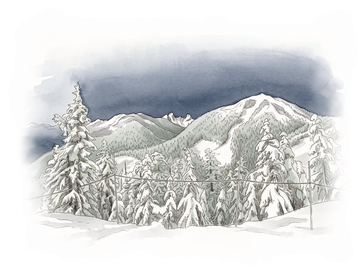
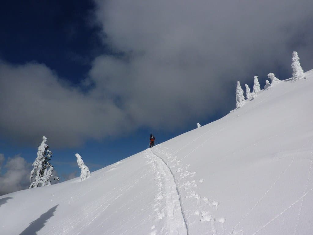
Mount Strachan sits at the edge of the Cypress Mountain ski area in West Vancouver, and its slopes put riders straight into complex avalanche terrain with no marked BC Parks winter route, so it suits experienced, fully equipped parties or a guided group.
Road closure
Cypress Bowl Road shuts to cyclists while crews repave it
Crews started repaving 12 km of Cypress Bowl Road on 13 July 2026, from the District of West Vancouver works yard at the bottom up to Cypress Mountain Resort, and BC Parks bars cyclists from the road until they finish. Cars still get through to Cypress Park and the ski area. Expect delays and single-lane alternating traffic on gravel. Some roadside lots and turnoffs are hard to get into while the crews work there. BC Parks still listed the closure on 16 October 2026 and expects the paving to be done by the end of October.
Checked 2026-10-17 · bcparks.ca
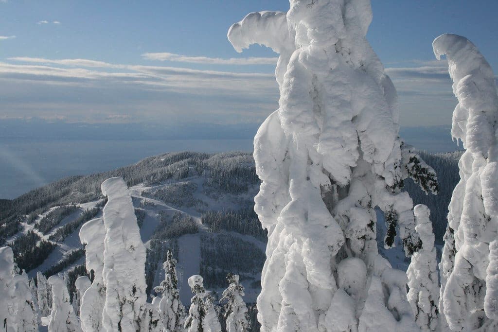
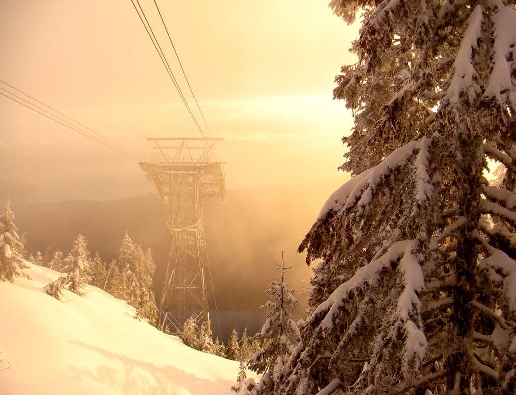
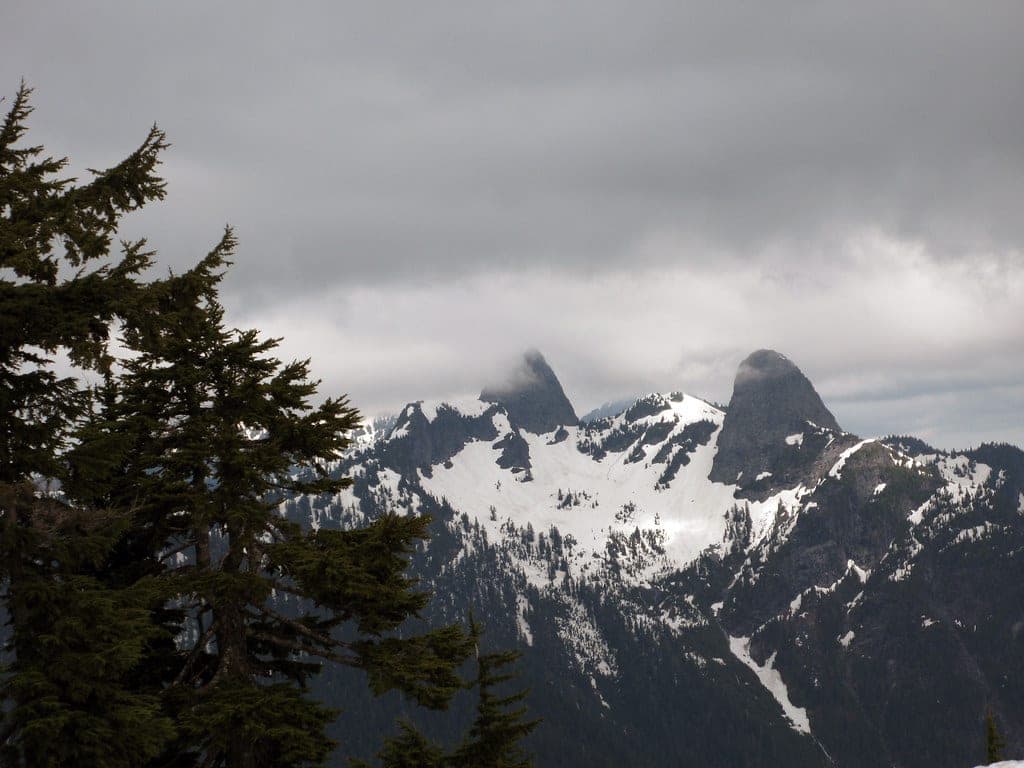
Photo keepitsurreal · Flickr · CC BY-SA 2.0 and others, credited in the gallery
Field card · Backcountry zone · No. 008 · checked 16 Oct 2026
Carry a spare phone battery up here.
Road closure
Cypress Bowl Road shuts to cyclists while crews repave it
Crews started repaving 12 km of Cypress Bowl Road on 13 July 2026, from the District of West Vancouver works yard at the bottom up to Cypress Mountain Resort, and BC Parks bars cyclists from the road until they finish. Cars still get through to Cypress Park and the ski area. Expect delays and single-lane alternating traffic on gravel. Some roadside lots and turnoffs are hard to get into while the crews work there. BC Parks still listed the closure on 16 October 2026 and expects the paving to be done by the end of October.
Checked 2026-10-17 · bcparks.ca
Read the terrain
Mount Strachan rises at the north edge of the Cypress alpine ski area. Avalanche Canada's Trip Planner maps complex terrain across the slopes west of the summit and leaves the summit and the gullies behind it outside its rated zones, and the older Canadian Avalanche Association list rated the mountain complex. Christmas Gully lies behind the mountain at the edge of the ski area and drains toward Strachan Meadows and the Howe Sound Crest Trail, and North Shore Rescue has hauled riders and hikers out of it after slides.
Gate rules
- Cypress Mountain's uphill policy bans uphill skiing and snowshoeing inside the alpine ski area boundary during daily operations.
- The free backcountry access tag from Black Mountain Lodge covers the corridor to the Black Mountain and Bowen Lookout trails. BC Parks publishes no corridor or winter route to Strachan.
- Terrain beyond the ski area boundary falls under BC Parks rules, and Cypress Mountain says anyone travelling there goes at their own risk.
Watch for these hazards
- Avalanche Canada's Trip Planner maps complex avalanche terrain on Strachan's west slopes.
- North Shore Rescue's team leader said in February 2019 that the team has seen lots of avalanches in Christmas Gully.
- BC Parks strongly discourages winter travel along the Howe Sound Crest Trail past Bowen Lookout, and its winter map warns that rescue services out there are hard to reach and put rescuers at extreme risk.
- People who drop off the back of the mountain end up in Strachan Meadows below the ski area and can walk the wrong way trying to get out, as a lost snowboarder did in 2019.
- BC Parks marks no winter trail to Strachan, so there are no poles to follow in fog or cloud.
See the terrain in 3D
2 trip reports
What riders report from the hill
Both reports come from news coverage of North Shore Rescue callouts, so read them as a record of what has gone wrong on this mountain. Snow and avalanche conditions change every day.
2019-02-25 · Pique Newsmagazine
On the afternoon of 25 February 2019 a beginner snowboarder with no avalanche gear ducked the rope at Cypress Mountain around 4:30 pm and rode down Christmas Gully. He reached Strachan Meadows near the Howe Sound Crest Trail, walked the wrong way, and his phone died after one call. Cypress ski patrollers found him and walked him out with North Shore Rescue.
Read the source2022-05-27 · Global News
On 27 May 2022 North Shore Rescue sent a ground crew and a helicopter crew after two hikers caught in a small avalanche off the Howe Sound Crest Trail. Its search manager said the pair had been carried into the Christmas Gully area behind Mount Strachan at the edge of the Cypress ski area. Both were injured and getting hypothermic.
Read the source
Go with a guide
Strachan tops the three Cypress peaks at 1,454 m, and its slopes begin where the Cypress alpine ski area ends. On a February afternoon in 2019 a beginner snowboarder ducked the rope for photos, strapped in and rode down Christmas Gully with no avalanche gear. He reached Strachan Meadows and then walked the wrong way. His phone died after one call, and Cypress ski patrollers found him before North Shore Rescue helped walk him out.
Avalanche Canada's Trip Planner draws complex terrain across the slopes west of the summit, and the older Canadian Avalanche Association list rated the whole mountain complex. BC Parks marks three winter trails in Cypress Provincial Park and none of them goes to Strachan. The park strongly discourages winter travel on the Howe Sound Crest Trail past Bowen Lookout, and that stretch leads toward Strachan Meadows.
If Strachan is on your list, go with a certified mountain guide or with partners whose avalanche training goes past AST 1, and read the forecast for Avalanche Canada's North Shore subregion before you leave. Everyone carries a transceiver, probe and shovel. Leave a trip plan that names the mountain and a turnaround time, and keep your phone warm and charged. The mountain sits in the territories of the Sḵwx̱wú7mesh Úxwumixw (Squamish Nation) and səlilwətaɬ (Tsleil-Waututh Nation).
Worth knowing
- Leave a trip plan with someone at home: your route, your group, your start time and your turnaround time, plus when they should call 911. North Shore Rescue points people to the free planner at adventuresmart.ca.
- Pack North Shore Rescue's ten essentials and put a headlamp first. The team says running out of light causes more overdue callouts than anything else.
- Avalanche Canada sets AST 1 as the starting course, two days or more, and runs AST 2 and Managing Avalanche Terrain courses for people heading into complex ground. Licensed providers list their dates at avalanche.ca/training/courses.
- Carry a spare battery for your phone. The snowboarder lost in 2019 made one call before his battery died.
Quick answers about Mount Strachan
Is there a marked winter route up Mount Strachan?
No. BC Parks marks three winter trails in Cypress Provincial Park and none of them climbs Strachan. The park also strongly discourages winter travel along the Howe Sound Crest Trail past Bowen Lookout.
What ATES rating does Mount Strachan have?
Mount Strachan is rated complex. Avalanche Canada's Trip Planner maps complex terrain on the slopes west of the summit, and the older Canadian Avalanche Association list on the UBC Varsity Outdoor Club wiki rated the mountain complex.
Where is Christmas Gully?
Christmas Gully lies behind Mount Strachan at the edge of the Cypress Mountain ski area, by North Shore Rescue's description, and it leads down toward Strachan Meadows near the Howe Sound Crest Trail. North Shore Rescue has run several avalanche and lost-rider rescues there.
Can you skin up the ski runs at Cypress to reach Strachan?
No. Cypress Mountain's uphill policy bans uphill skiing and snowshoeing inside the alpine ski area boundary during daily operations.
How long is a tour on Mount Strachan?
A typical tour on Mount Strachan climbs bC Parks gives Mount Strachan as 1,454 m, which makes it the highest of the three Cypress peaks, and North Shore Rescue puts the Cypress parking lot at about 915 m. No land manager publishes a winter route or a height gain to the summit.
When can you ski tour Mount Strachan?
The touring season on Mount Strachan runs bC Parks strongly discourages winter travel along the Howe Sound Crest Trail past Bowen Lookout. Avalanche Canada starts its daily forecasts for 2026/27 on 25 November at 4 pm.
Do you need a guide for Mount Strachan?
We recommend a certified guide for Mount Strachan unless your group can read the snowpack and run its own rescue.
Where do you check avalanche danger for Mount Strachan?
Read the day's bulletin from Avalanche Canada (https://avalanche.ca/map) before every tour on Mount Strachan.
Within 40 km
Ski resorts nearby



Within 80 km
Backcountry zones nearby

Within 35 km
Places to stay nearby
Within 35 km