Garibaldi Neve Traverse
49°51′ N 122°59′ WATES Challenging terrainGuide recommendedSeasonal
The Garibaldi Neve Traverse crosses the glaciers of Garibaldi Park from the Diamond Head area above Squamish to Garibaldi Lake in 2 to 3 days, so it suits ski parties with glacier travel and crevasse rescue skills, and the trade-off is a heavily crevassed névé where a whiteout can pin you in your tent.
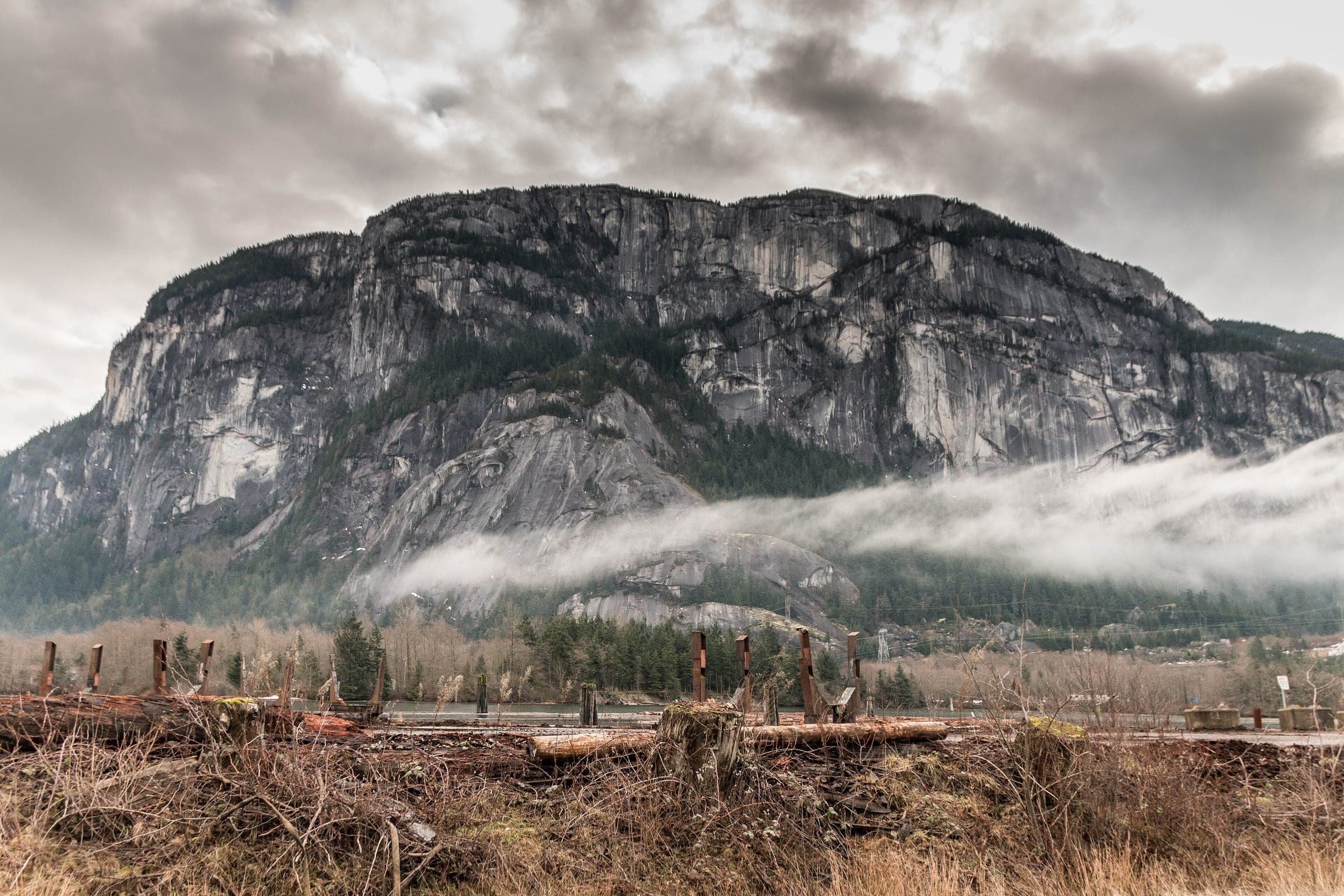
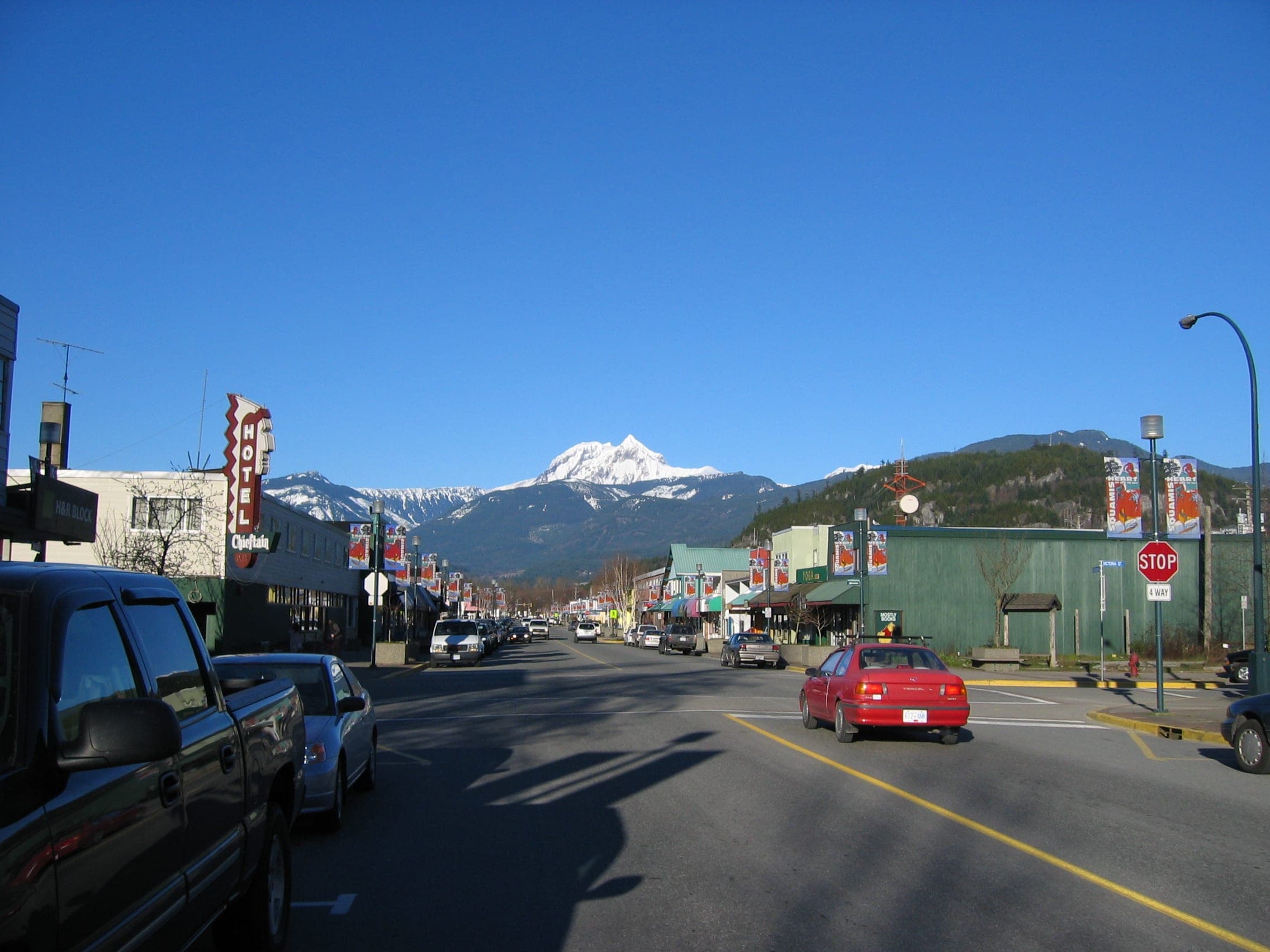
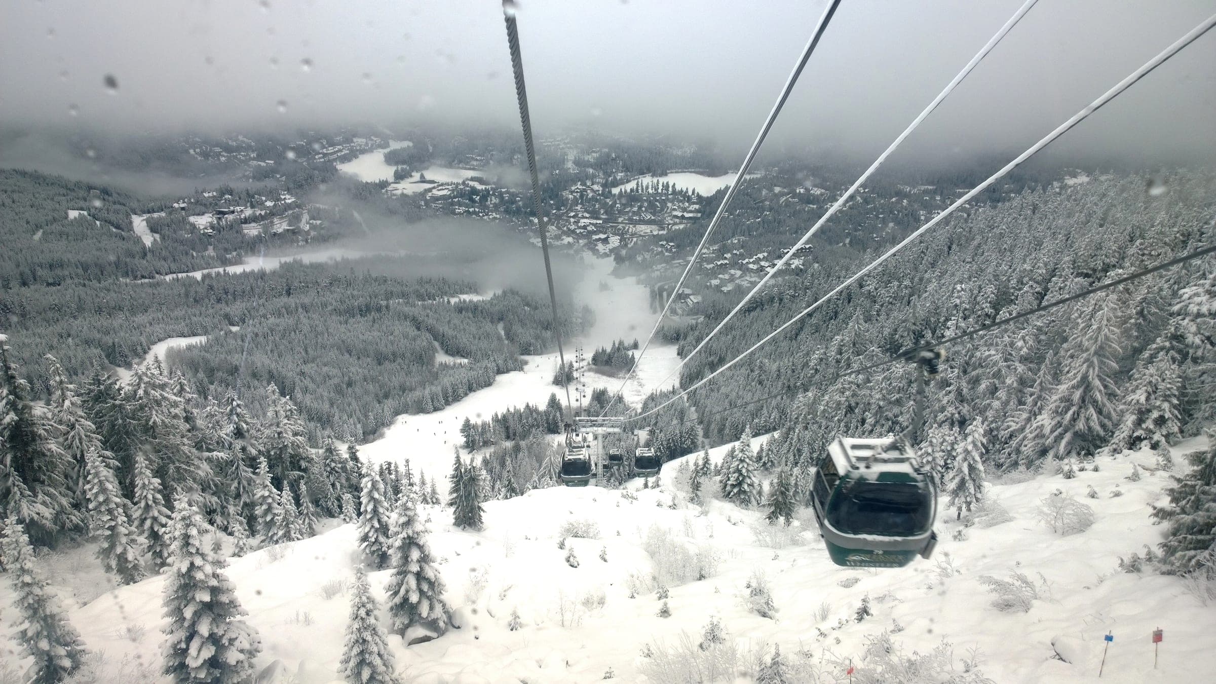
Photo Kamil Szybalski kamilszybalski · Wikimedia Commons · CC0 and others, credited in the gallery
Field card · Backcountry zone · No. 005 · checked 16 Oct 2026
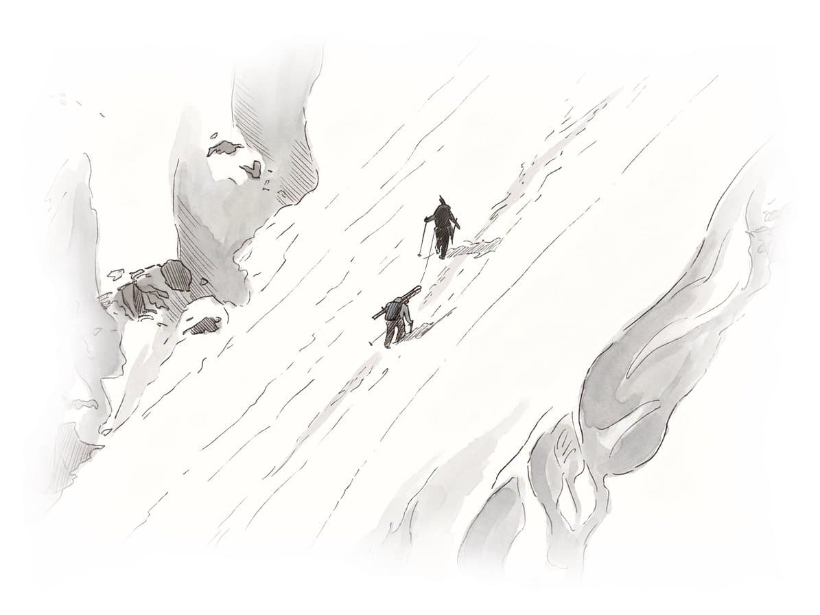
Carry a tent even if you plan to sleep in huts.
Read the terrain
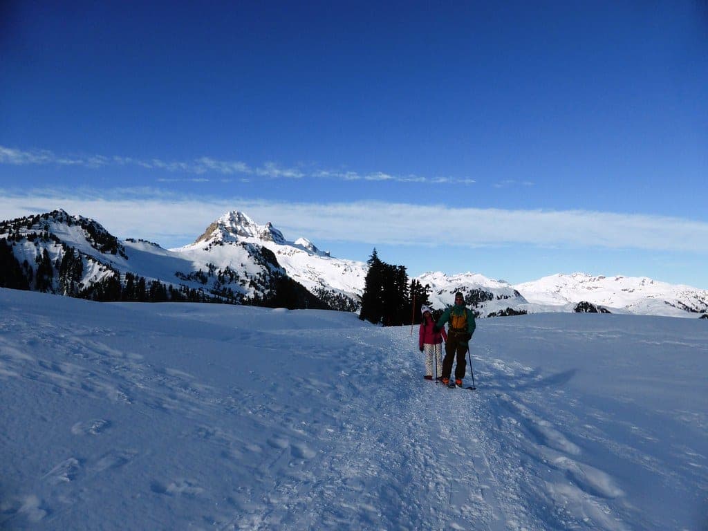
Most parties ski south to north, from the Diamond Head area to Rubble Creek, for a net loss of height and a couple of north-facing descents. North of Elfin Lakes the route contours under avalanche paths to Ring Creek, climbs the Garibaldi Glacier west of Opal Cone onto the main névé and crosses a 2,178 m shoulder past the Tent before the Sharkfin and the Sentinel Glacier lead down to Garibaldi Lake. The older Canadian Avalanche Association list rated the normal low route challenging. Avalanche Canada's Trip Planner rates the Elfin Lake area at the south end and leaves the névé itself outside its mapped zones.
Gate rules
- Snowmobiles are banned in Garibaldi Park, and motor vehicles keep to park roads and parking lots.
- Dogs and other pets are prohibited in Garibaldi Park, with an exception for certified guide and service dogs carrying proof of accreditation.
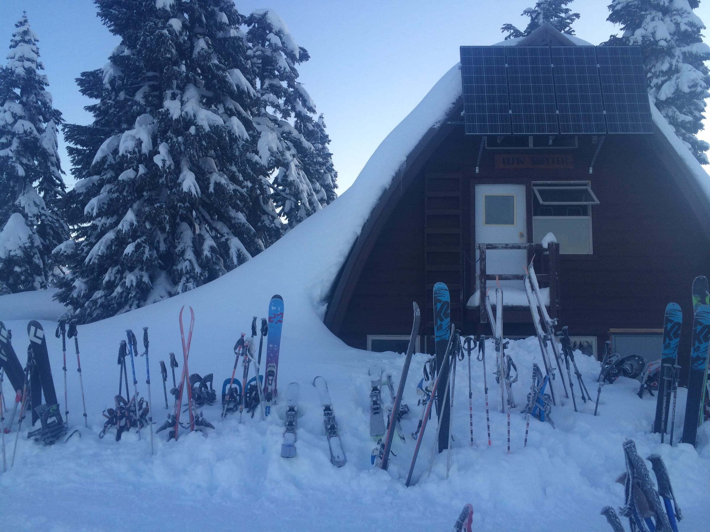
- Elfin Lakes Shelter takes reservations only, all year, through camping.bcparks.ca or 1-800-689-9025.
- BC Parks bans camping or lingering in the Barrier Civil Defence Zone below Garibaldi Lake, which includes the Rubble Creek parking lot.
Watch for these hazards
- The stretch between the Tent and the Sharkfin is the most heavily crevassed part of the trip, the VOC warns, so glacier travel and crevasse rescue skills apply.
- Whiteouts trap parties on the névé, and the VOC tells everyone to carry a tent.
- North of Elfin Lakes the route passes below avalanche paths before it drops to Ring Creek.
- BC Parks says avalanche and glacier hazards exist year-round in Garibaldi Park and only experienced groups practised in companion rescue should go onto its snowfields and glaciers.
- The VOC notes that NTS maps put the Sharkfin in the wrong place, farther west and higher than it stands.
Pick a route that suits the day
Low route, Elfin Lakes to Garibaldi Lake
Challenging terrain
From Elfin Lakes Shelter the route contours north for about 2 km, drops to Ring Creek and climbs the Garibaldi Glacier west of Opal Cone onto the névé. It passes the Tent, skirts the Sharkfin on its east side and descends the Sentinel Glacier to Garibaldi Lake, a full day for an average party by the VOC's count.
Mount Garibaldi north-east face
Complex terrain
Mount Garibaldi rises to 2,678 m above the névé, and the VOC suggests camping high to climb it. The older Canadian Avalanche Association list rated the north-east face complex.
See the terrain in 3D
Start at the Diamond Head lot above Squamish and spend the first night at Elfin Lakes Shelter, 11 km in, where BC Parks takes bookings for its 33 bunks. The second day is the big one. The route contours north under avalanche paths, drops to Ring Creek and climbs the Garibaldi Glacier west of Opal Cone onto the open névé, then crosses a shoulder at about 2,178 m past the Tent. The VOC's guide calls it a full day for an average party.
The section between the Tent and the Sharkfin carries the most crevasses, so travel roped up and slow down if the visibility drops. Pass the Sharkfin on its east side and know that NTS maps draw it in the wrong spot. A broad pass west of Glacier Pikes leads onto the Sentinel Glacier and a straightforward run to Garibaldi Lake at about 1,450 m, where you can stay in the small Sentinel Bay glaciology huts or ski across the frozen lake to the VOC's Burton Hut.
The older Canadian Avalanche Association list rated the normal low route challenging, and the Mount Garibaldi north-east face complex. Avalanche Canada's Trip Planner covers the Elfin Lake area at the south end and leaves the névé outside its mapped zones, so plan this one with the Garibaldi subregion forecast and your own terrain reading. Garibaldi Park lies in the territory of the Sḵwx̱wú7mesh Úxwumixw (Squamish Nation).
Worth knowing
- Carry a tent even if you plan to sleep in huts. The VOC says a whiteout can trap you on the névé.
- Leave a trip plan with someone at home with your route, your group, your hut nights and the day you expect to reach Rubble Creek, plus when they should call 911. AdventureSmart's free planner is at adventuresmart.ca.
- North Shore Rescue's ten essentials apply on a multi-day trip as much as a day hike, with a headlamp first.
- Avalanche Canada sets AST 1 at two days or more and offers AST 2 for longer trips like this one. Licensed providers list their dates at avalanche.ca/training/courses.
- Hire a certified mountain guide if nobody in your party has led a glacier trip before.
Quick answers about Garibaldi Neve Traverse
How long is the Garibaldi Neve Traverse?
Most parties take 2 to 3 travel days from the Diamond Head lot to the Rubble Creek lot, by the VOC's guide. The Elfin Lakes to Garibaldi Lake leg alone runs about 16 km and makes a long day.
Do you need glacier skills for the Garibaldi Neve Traverse?
Yes. The route crosses the Garibaldi Glacier, the main névé and the Sentinel Glacier, and the VOC calls the stretch between the Tent and the Sharkfin the most heavily crevassed part of the trip.
Which way do people ski the Garibaldi Neve Traverse?
Most ski it south to north, from Diamond Head to Rubble Creek. The VOC says that direction gives a net loss of height and a couple of north-facing descents.
What ATES rating does the Garibaldi Neve Traverse have?
The normal low route is rated challenging on the older Canadian Avalanche Association list. The north-east face of Mount Garibaldi is rated complex.
When can you ski tour Garibaldi Neve Traverse?
The touring season on Garibaldi Neve Traverse runs the VOC's guide says the traverse goes best in winter or early spring while Garibaldi Lake is frozen, because an open lake means a bushwhack around it. Avalanche Canada starts its daily forecasts for 2026/27 on 25 November at 4 pm.
Do you need a guide for Garibaldi Neve Traverse?
We recommend a certified guide for Garibaldi Neve Traverse unless your group can read the snowpack and run its own rescue.
Where do you check avalanche danger for Garibaldi Neve Traverse?
Read the day's bulletin from Avalanche Canada (https://avalanche.ca/map) before every tour on Garibaldi Neve Traverse.
How do you get to the Garibaldi Neve Traverse trailhead?
The Diamond Head parking lot, Garibaldi Park (finish at the Rubble Creek trailhead) trailhead is about 1 hr 40 min by car from Horseshoe Bay ferry terminal in winter, 62.4 km on the road.
Within 40 km
Ski resorts nearby

Within 80 km
Backcountry zones nearby

Within 35 km
Places to stay nearby

Within 35 km