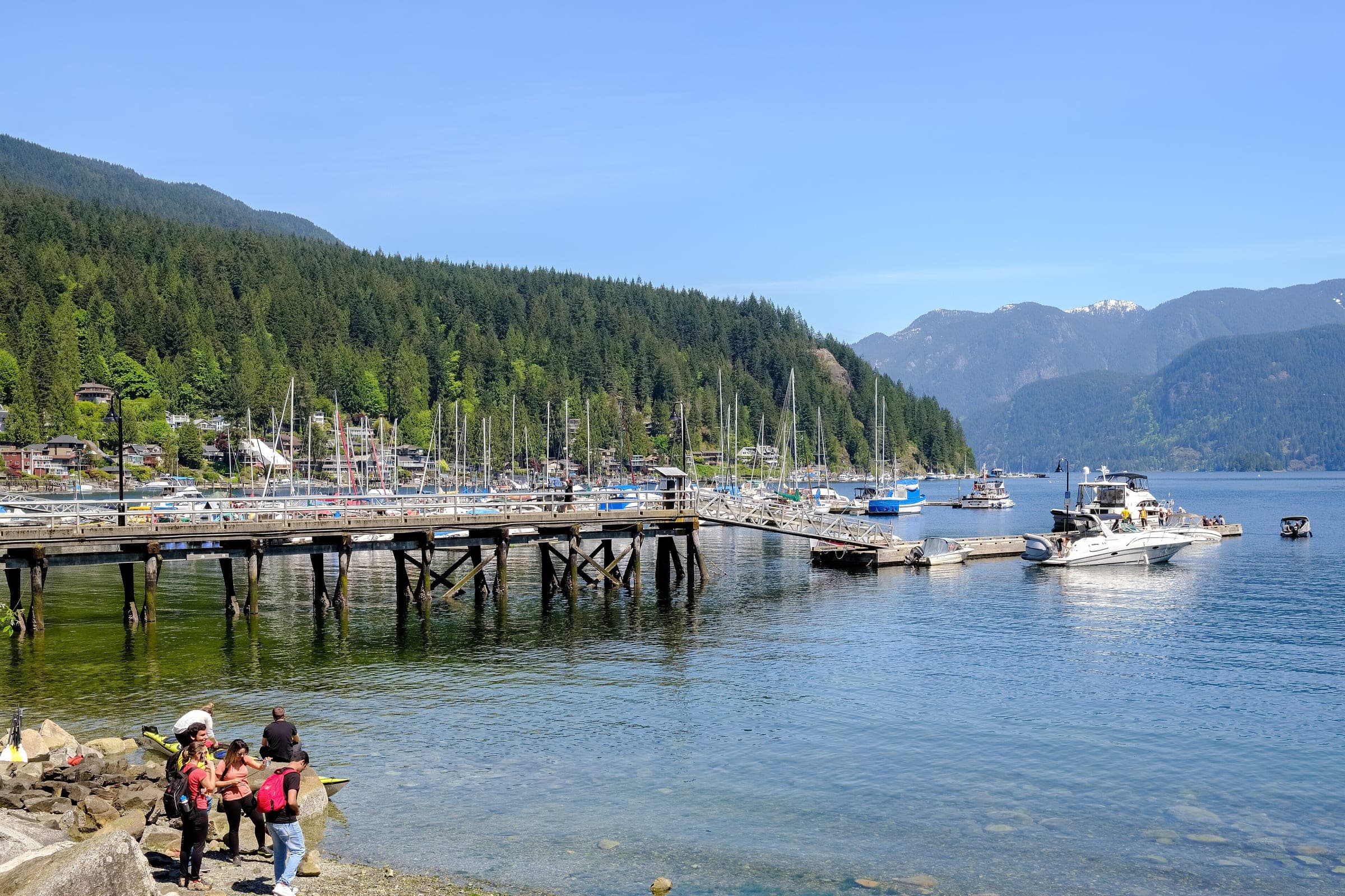
Mount Seymour backcountry
49°24′ N 122°57′ WATES Challenging terrain+450 m1,449 mSeasonal
The Mount Seymour backcountry in North Vancouver suits a first ski tour or snowshoe on Vancouver's North Shore, because BC Parks poles a winter route from the P4 kiosk to the saddle below Second Pump, and the trade-off is how quickly the ridge past the poles turns into complex avalanche terrain.
Road closure
Culvert work narrows Mount Seymour Road to one lane from 19 to 23 October
Crews replace a culvert on Mount Seymour Road from Monday 19 October to Friday 23 October 2026, and DriveBC lists the work from 7 am to 4 pm each weekday. Traffic takes turns through a single lane while they're on site, so allow extra time on the way up to the park.
Checked 2026-10-16 · api.open511.gov.bc.ca
Road closure
Mount Seymour Road's gate closes overnight from November to April
Mt Seymour closes Mount Seymour Road at the gatehouse from 10 pm to 7 am every day from November 2026 to April 2027, and it can shut the road at other hours in extreme weather, with notices on its website and on lit signs below the gatehouse. BC Parks gives the same nightly hours from mid-November to mid-April, so plan on the longer window and drive down before 10 pm. Lot P1 is the winter lot for overnight parking, and Mt Seymour asks anyone leaving a car there to put an emergency contact and the expected return time on the dashboard.
Checked 2026-10-16 · mtseymour.ca
Photo by Vlad Namashko on Unsplash and others, credited in the gallery
Field card · Backcountry zone · No. 007 · checked 16 Oct 2026
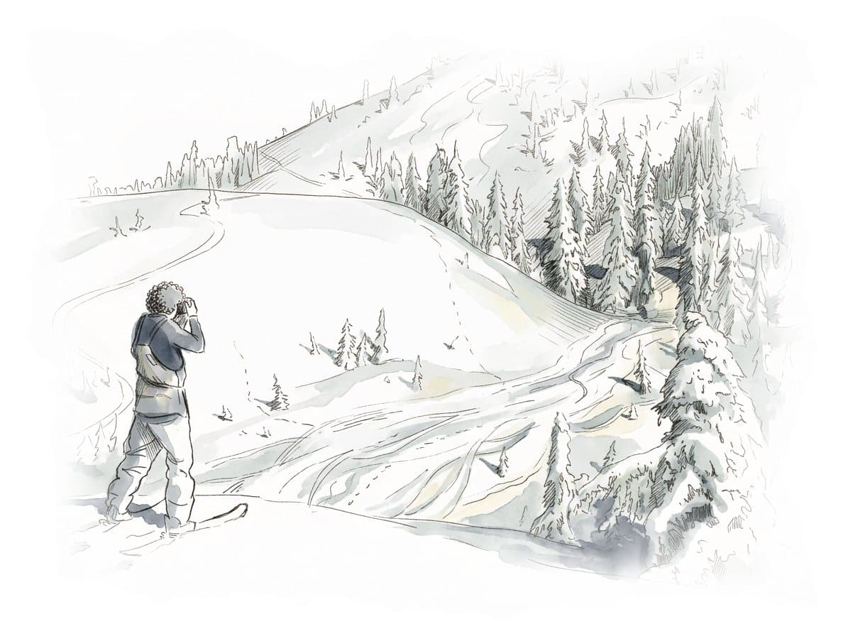

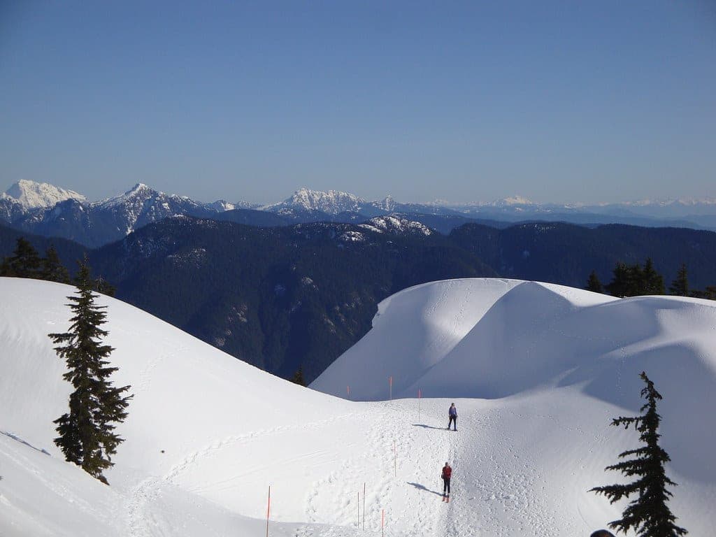
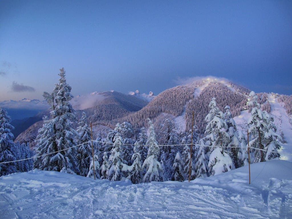
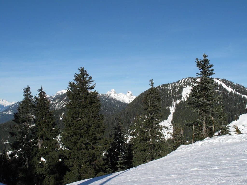
The marked route ends at the saddle below Second Pump.
Road closure
Culvert work narrows Mount Seymour Road to one lane from 19 to 23 October
Crews replace a culvert on Mount Seymour Road from Monday 19 October to Friday 23 October 2026, and DriveBC lists the work from 7 am to 4 pm each weekday. Traffic takes turns through a single lane while they're on site, so allow extra time on the way up to the park.
Checked 2026-10-16 · api.open511.gov.bc.ca
Road closure
Mount Seymour Road's gate closes overnight from November to April
Mt Seymour closes Mount Seymour Road at the gatehouse from 10 pm to 7 am every day from November 2026 to April 2027, and it can shut the road at other hours in extreme weather, with notices on its website and on lit signs below the gatehouse. BC Parks gives the same nightly hours from mid-November to mid-April, so plan on the longer window and drive down before 10 pm. Lot P1 is the winter lot for overnight parking, and Mt Seymour asks anyone leaving a car there to put an emergency contact and the expected return time on the dashboard.
Checked 2026-10-16 · mtseymour.ca
Read the terrain
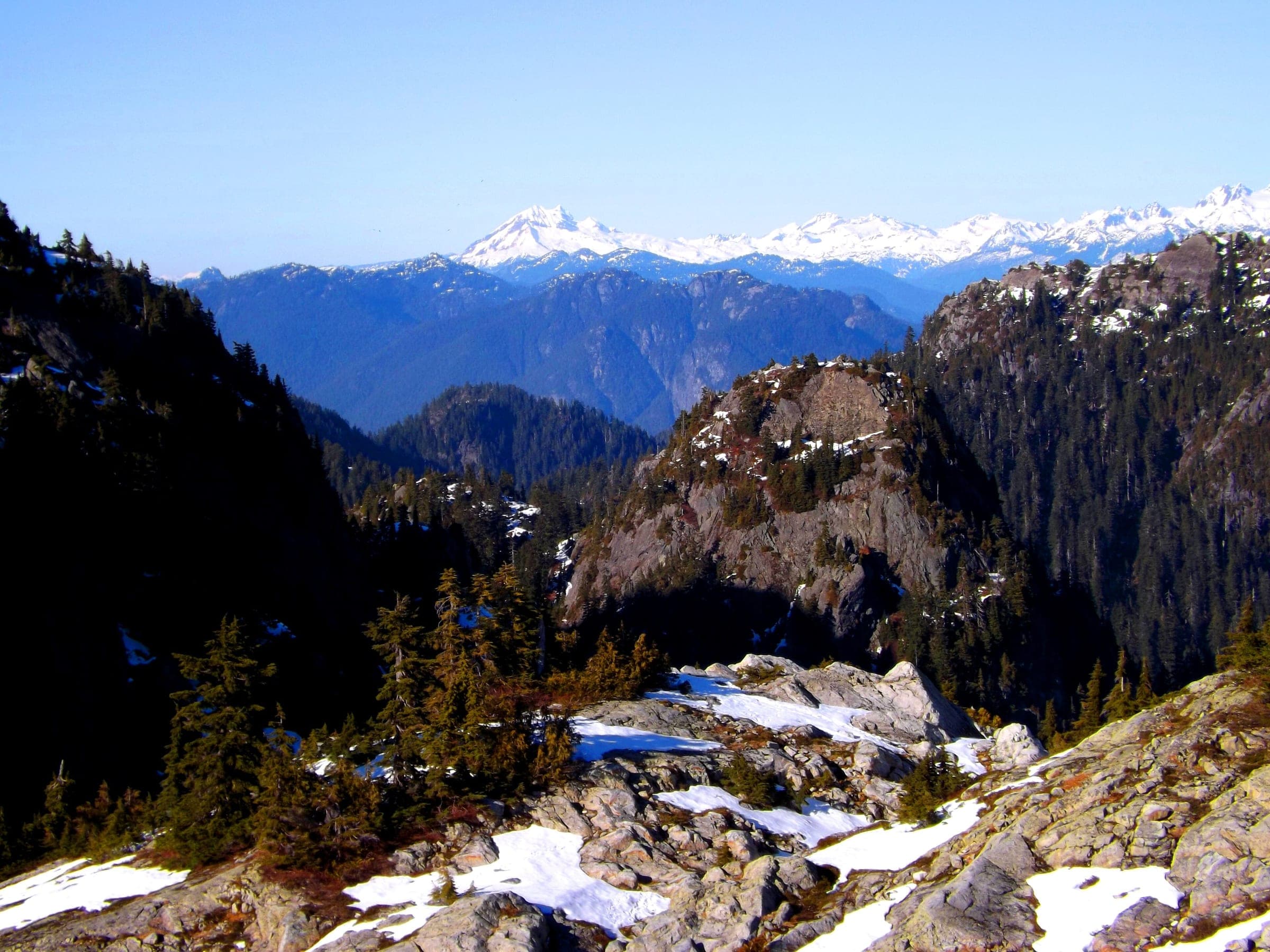
The Backcountry Access Trail follows the west side of Mt Seymour Resorts' controlled recreation area to Brockton Point and climbs on to the saddle between First and Second Pump, where the marked route ends. Beyond it the ridge runs over Tim Jones Peak to the 1,449 m summit, and the Elsay Lake trail drops off the far side into the basin that drains to Indian Arm. Avalanche Canada's Trip Planner maps the trail to Brockton Point as simple. It puts the climb to First Pump Peak in simple and challenging zones and draws a complex pocket on the ridge between Pump Peak and Tim Jones Peak.
Gate rules
- Mt Seymour Resorts runs an 81-hectare controlled recreation area inside the park, and from November to April you need a lift or trail ticket for its trails, including the ones to Goldie Lake and Mystery Lake.
- The BC Parks backcountry routes start at the park kiosk at the north end of P4, which posts the latest trail conditions and the avalanche hazard rating.
- BC Parks' winter trail report tells hikers and snowshoers to stay off the ski runs at all times and tells skiers to come down by the Mount Seymour Main Trail.
- Navigate by the orange bamboo and red plastic marker poles that BC Parks sets on its two winter routes.
Watch for these hazards
- On 10 March 2024 an avalanche on the south face of Pump Peak buried a snowshoer upside down for 15 to 20 minutes on a day when the North Shore danger rating was high. Neither person in the party had avalanche training or rescue gear.
- The ridge beyond the marked route crosses complex terrain between Pump Peak and Tim Jones Peak on Avalanche Canada's map.
- BC Parks warns that gullies and creeks lead away from the trail, and its trail report tells everyone to stay on it.
- BC Parks' trail report says Mt Seymour Resorts runs heavy machinery in its controlled recreation area day and night.
- Cell service is limited in Mount Seymour Park, so BC Parks tells you to download your day-use pass before you arrive.
- BC Parks says black bears and cougars may turn up in the backcountry. Feeding dangerous wildlife such as bears is an offence under British Columbia's Wildlife Act.
Pick a route that suits the day
Brockton Point
Simple terrain
The Backcountry Access Trail reaches Brockton Point, which BC Parks calls the first viewpoint, along the west side of the resort's controlled recreation area. Avalanche Canada's Trip Planner maps this stretch as simple terrain.
First Pump Peak and the Pump saddle
450 m ascent · Challenging terrain
The marked route continues past Brockton Point to the saddle between First and Second Pump, about 7 km return with 450 m of gain by BC Parks' figures. Avalanche Canada's Trip Planner puts the slopes up to First Pump Peak in simple and challenging zones, and the older Canadian Avalanche Association list rated the trip to First Peak challenging.
Mount Seymour summit (Third Peak)
Complex terrain
Past the end of the marked route the ridge runs over Second Peak, which maps name Tim Jones Peak, to Third Peak at 1,449 m. Avalanche Canada's Trip Planner draws a complex pocket on the ridge between Pump Peak and Tim Jones Peak, and the older Canadian Avalanche Association list rated the trip to Third Peak complex.
Mount Elsay
Complex terrain
Mount Elsay rises north of the Seymour summit above Elsay Lake, and the older Canadian Avalanche Association list rated it complex. The Elsay Lake route leaves the main trail just before First Pump Peak and crosses complex zones on Avalanche Canada's Trip Planner.
See the terrain in 3D
1 trip reports
What riders report from the hill
This report comes from news coverage of a North Shore Rescue callout, so read it as a record of what has gone wrong here. Snow and avalanche conditions change every day.
2024-03-10 · Global News
On Sunday 10 March 2024 two snowshoers without avalanche training or rescue gear set off a slide on the south face of Pump Peak. The man dug himself out and called 911, and on a search manager's advice he combed the debris until a snowshoe showed him where his partner lay. She had been buried upside down for 15 to 20 minutes. North Shore Rescue reached them on foot and sledded her out, and the North Shore danger rating that day was high.
Read the source
Go with a guide
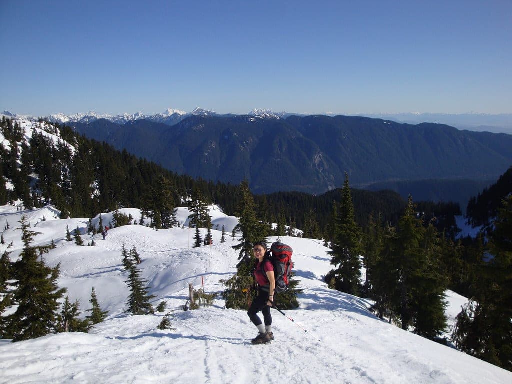
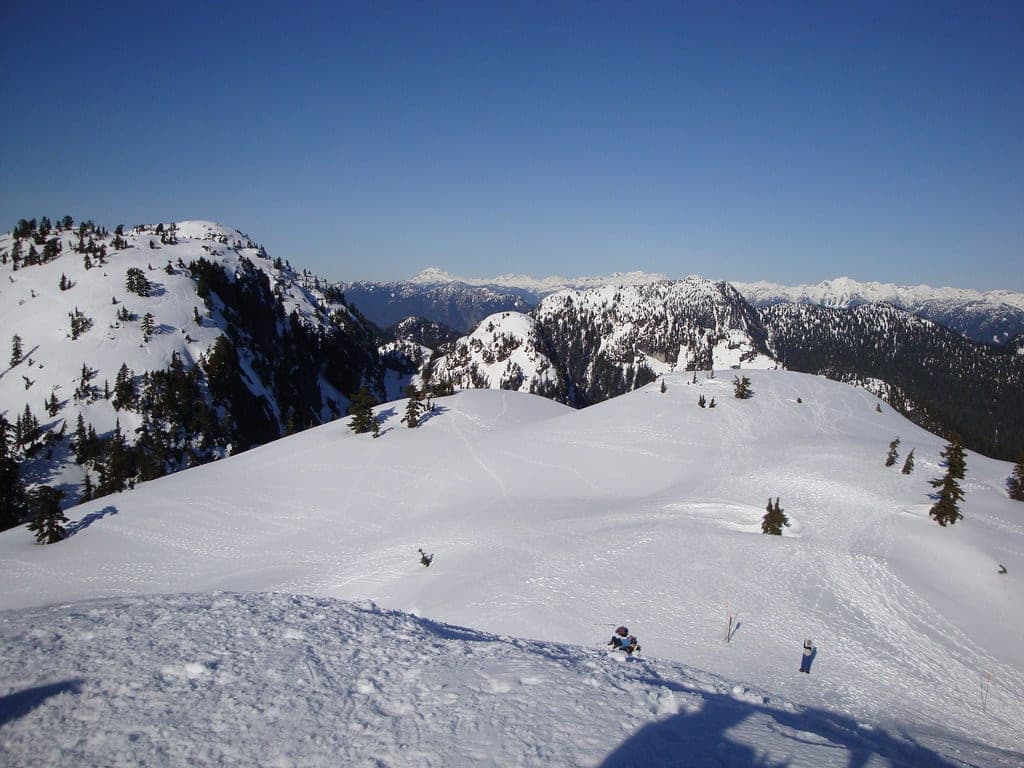
Drive to the top of Mount Seymour Road and walk to the BC Parks kiosk at the north end of lot P4, beside the Mystery Peak chair. Between mid-December and 31 March BC Parks sets two up-tracks from here and posts the day's trail conditions and avalanche hazard rating on the kiosk. The Backcountry Access Trail runs 7 km return to the saddle between First and Second Pump, which BC Parks times at three hours on skis and four on snowshoes. The First Lake trail barely climbs and loops back to the lot in about an hour and a half on skis.
The poles end at the saddle, and the terrain ratings climb from there. Avalanche Canada's Trip Planner shows simple terrain to Brockton Point and challenging slopes on the way up First Pump, then a complex pocket on the ridge toward Tim Jones Peak and the summit. In March 2024 a pair of snowshoers with no rescue gear triggered a slide on the south face of Pump Peak on a high-danger day, and the woman spent 15 to 20 minutes buried upside down before her partner dug her out. North Shore Rescue said a successful rescue after a burial that long is increasingly doubtful.
Park in P1 or Lower P5 if you are heading outside the resort's boundary, and check BC Parks' day-use pass page before you drive up, because winter 2025/26 needed a free pass on peak days. Overnight trips park in P1 with a note on the dashboard, and camping is allowed north of Brockton Point. BC Parks says the backcountry is no place for dogs. Mount Seymour Park sits in the territories of the səlilwətaɬ (Tsleil-Waututh Nation) and Sḵwx̱wú7mesh Úxwumixw (Squamish Nation).
Worth knowing
- Leave a trip plan with someone at home: your route, your group, your start time and your turnaround time, plus when they should call 911. North Shore Rescue points people to the free planner at adventuresmart.ca.
- Pack North Shore Rescue's ten essentials with a headlamp first. Running out of light is the team's most common reason for overdue-hiker callouts.
- Take an AST 1 before you leave the poles. Avalanche Canada sets the course at two days or more and lists licensed providers at avalanche.ca/training/courses.
- Book the BC Parks day-use pass at 7 am two days ahead on peak winter days, and screenshot it, because cell service in the park is limited.
Quick answers about Mount Seymour backcountry
Do you need a day-use pass for the Mount Seymour backcountry?
Yes, on peak winter days. In winter 2025/26 BC Parks required a free day-use vehicle pass for lots P1 and Lower P5 daily from 19 December to 4 January and on weekends and holidays from 9 January to 29 March, released online at 7 am two days ahead. The 2026/27 dates had not been posted on 16 October 2026. From 22 September 2026 you book it through a BC Parks account with a verified identity, and a BC Services Card login works too, so set the account up before release day.
Where does the Mount Seymour backcountry trail start?
It starts at the BC Parks kiosk at the north end of parking lot P4, near the Mystery Peak chair. BC Parks installs the route each winter between mid-December and 31 March.
Can you skin up the ski runs at Mount Seymour?
No. BC Parks' winter trail report tells hikers and snowshoers to stay off the ski runs at all times and tells skiers to come down by the Mount Seymour Main Trail. Mt Seymour Resorts' own trails need a lift or trail ticket.
Is Mount Seymour avalanche terrain?
Yes. Avalanche Canada's Trip Planner rates the trail to Brockton Point simple, and the terrain steps up to challenging on First Pump Peak. The ridge to the 1,449 m summit crosses a complex pocket, and in March 2024 an avalanche on the south face of Pump Peak buried a snowshoer for 15 to 20 minutes.
How long is a tour on Mount Seymour backcountry?
A typical tour on Mount Seymour backcountry climbs about 450 m and takes about 3 hours return on skis and 4 on snowshoes to the Pump saddle, by BC Parks' times.
How do you get to the Mount Seymour backcountry trailhead?
The BC Parks kiosk at the north end of parking lot P4, Mount Seymour trailhead is about 45 min by car from Lonsdale Quay SeaBus terminal in winter, 22.9 km on the road.
Within 40 km
Ski resorts nearby




Within 80 km
Backcountry zones nearby
Within 35 km
Places to stay nearby

Within 35 km