Hollyburn Peak
49°24′ N 123°11′ WATES Challenging terrain1,325 mSeasonal
Hollyburn Peak in West Vancouver's Cypress Provincial Park gives snowshoers and new ski tourers a BC Parks winter trail from the Nordic area to a 1,325 m summit, and the catch comes near the top, where Avalanche Canada maps the last slopes as challenging avalanche terrain.
Road closure
Cypress Bowl Road shuts to cyclists while crews repave it
Crews started repaving 12 km of Cypress Bowl Road on 13 July 2026, from the District of West Vancouver works yard at the bottom up to Cypress Mountain Resort, and BC Parks bars cyclists from the road until they finish. Cars still get through to Cypress Park and the ski area. Expect delays and single-lane alternating traffic on gravel. Some roadside lots and turnoffs are hard to get into while the crews work there. BC Parks still listed the closure on 16 October 2026 and expects the paving to be done by the end of October.
Checked 2026-10-17 · bcparks.ca
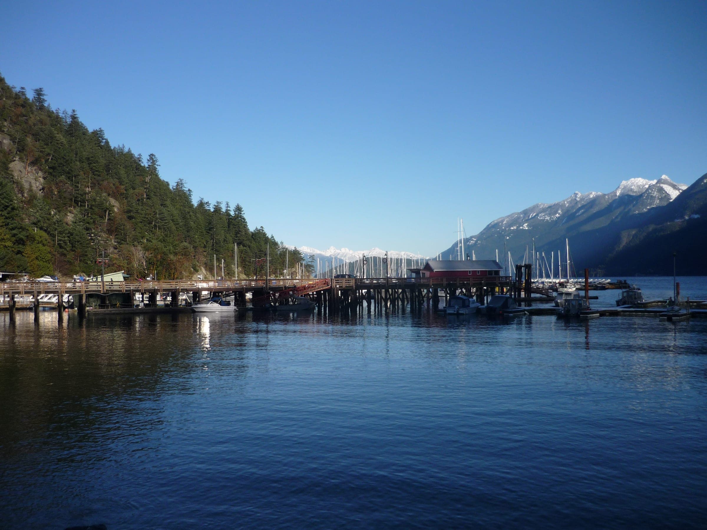
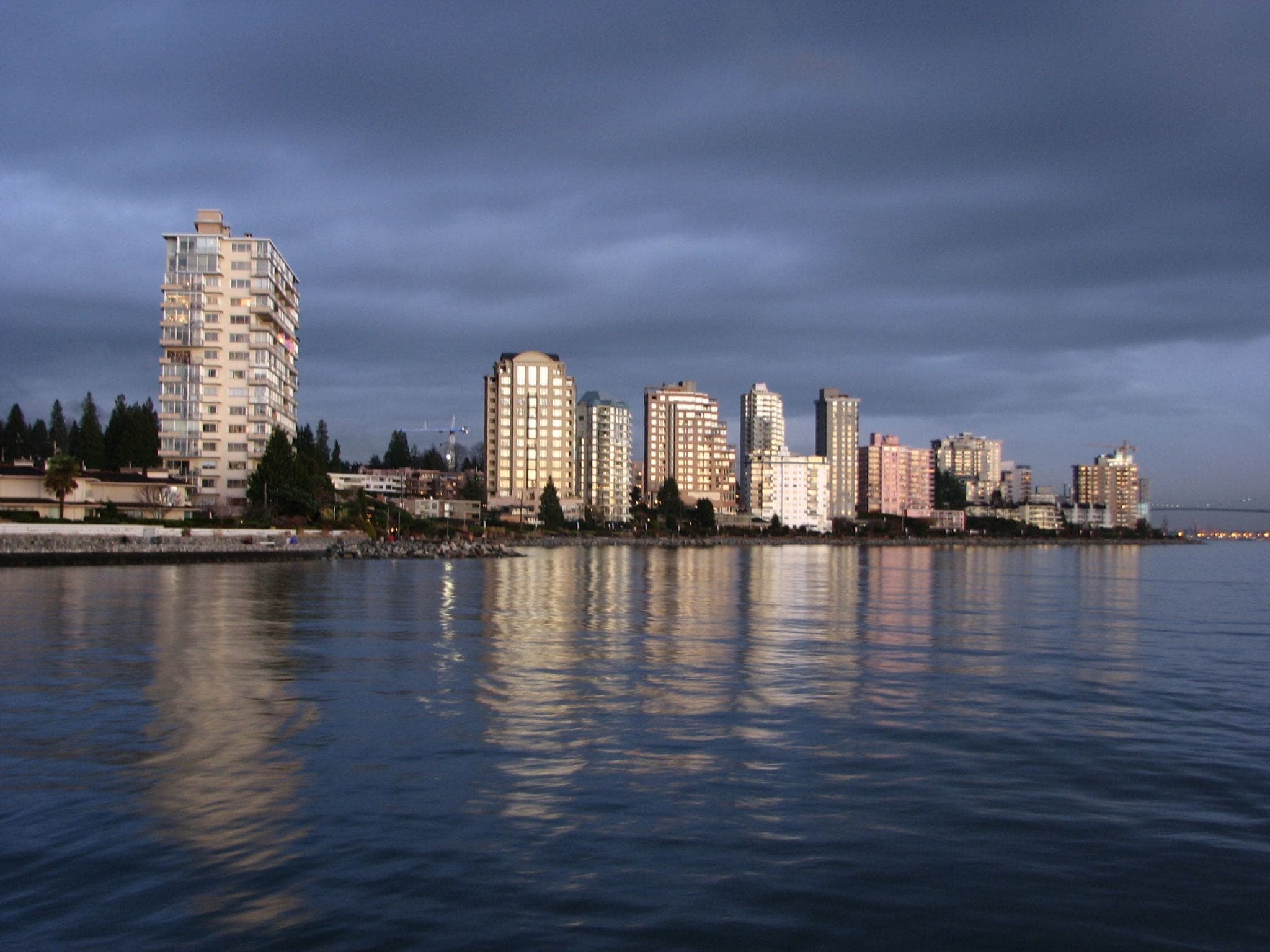
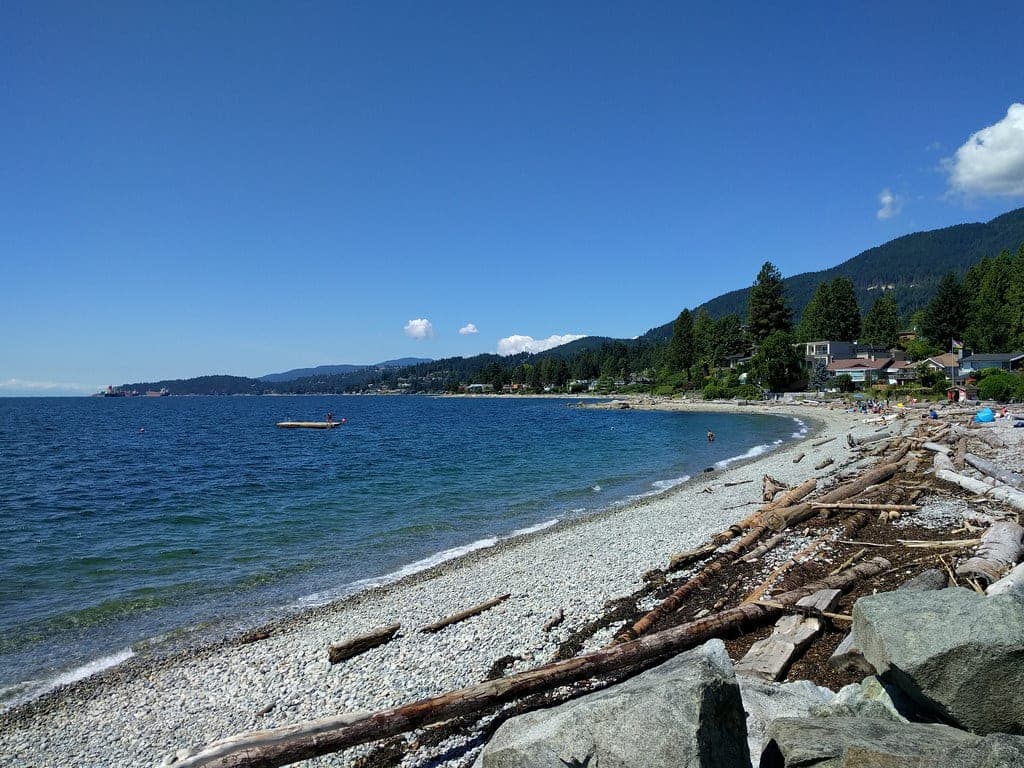
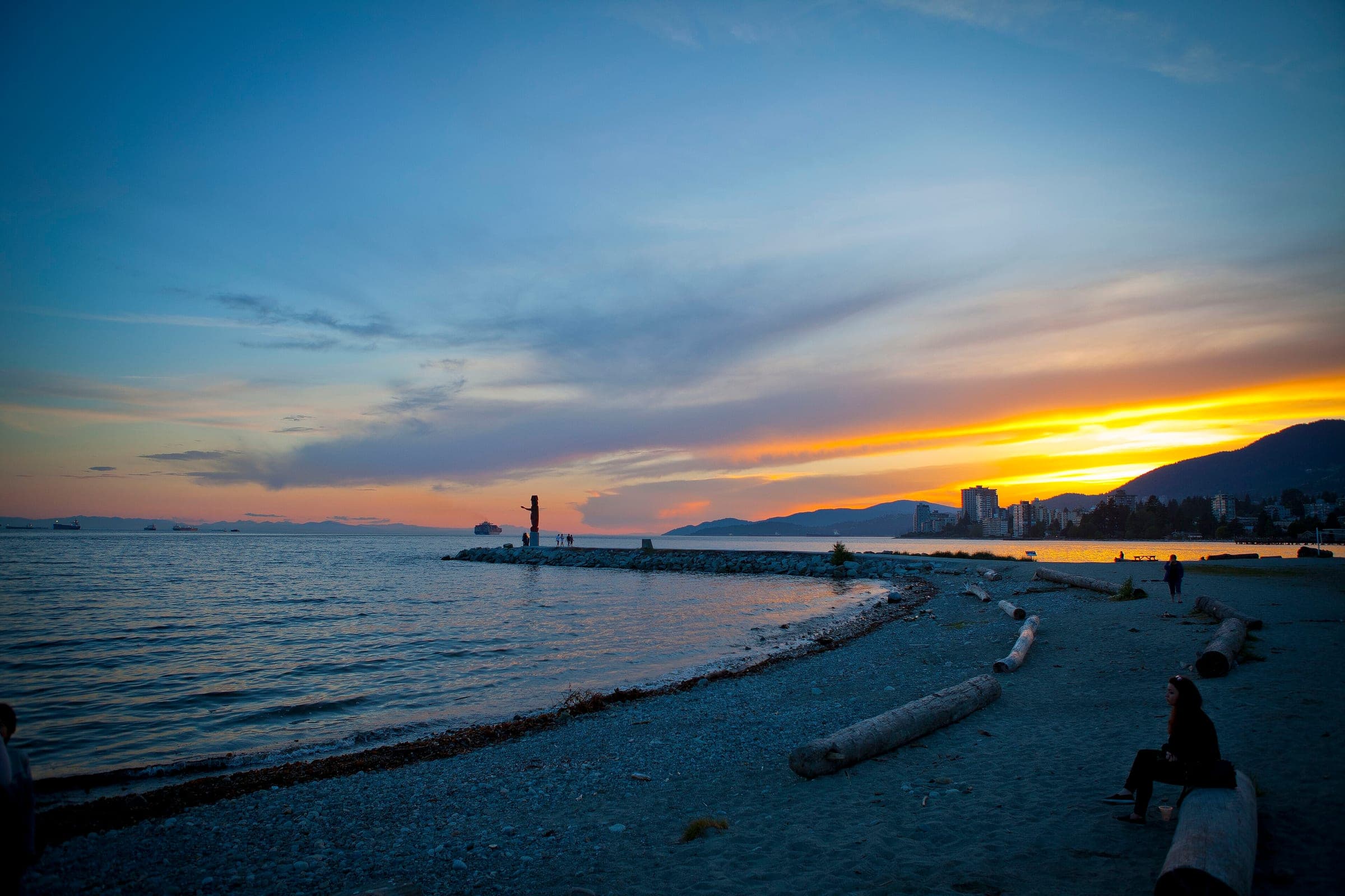
Photo sillygwailo · Flickr · CC BY 2.0 and others, credited in the gallery
Field card · Backcountry zone · No. 006 · checked 16 Oct 2026
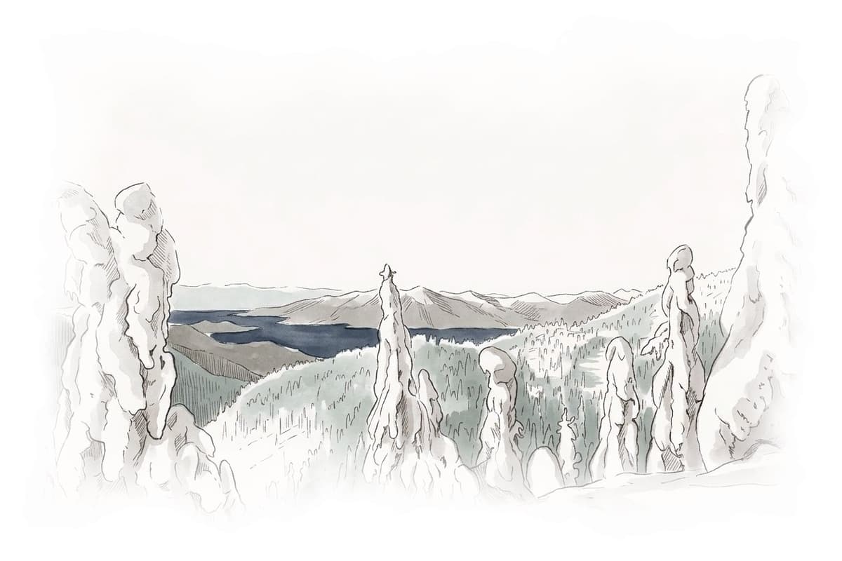
Bring avalanche gear for each person and practise with it.
Road closure
Cypress Bowl Road shuts to cyclists while crews repave it
Crews started repaving 12 km of Cypress Bowl Road on 13 July 2026, from the District of West Vancouver works yard at the bottom up to Cypress Mountain Resort, and BC Parks bars cyclists from the road until they finish. Cars still get through to Cypress Park and the ski area. Expect delays and single-lane alternating traffic on gravel. Some roadside lots and turnoffs are hard to get into while the crews work there. BC Parks still listed the closure on 16 October 2026 and expects the paving to be done by the end of October.
Checked 2026-10-17 · bcparks.ca
Read the terrain
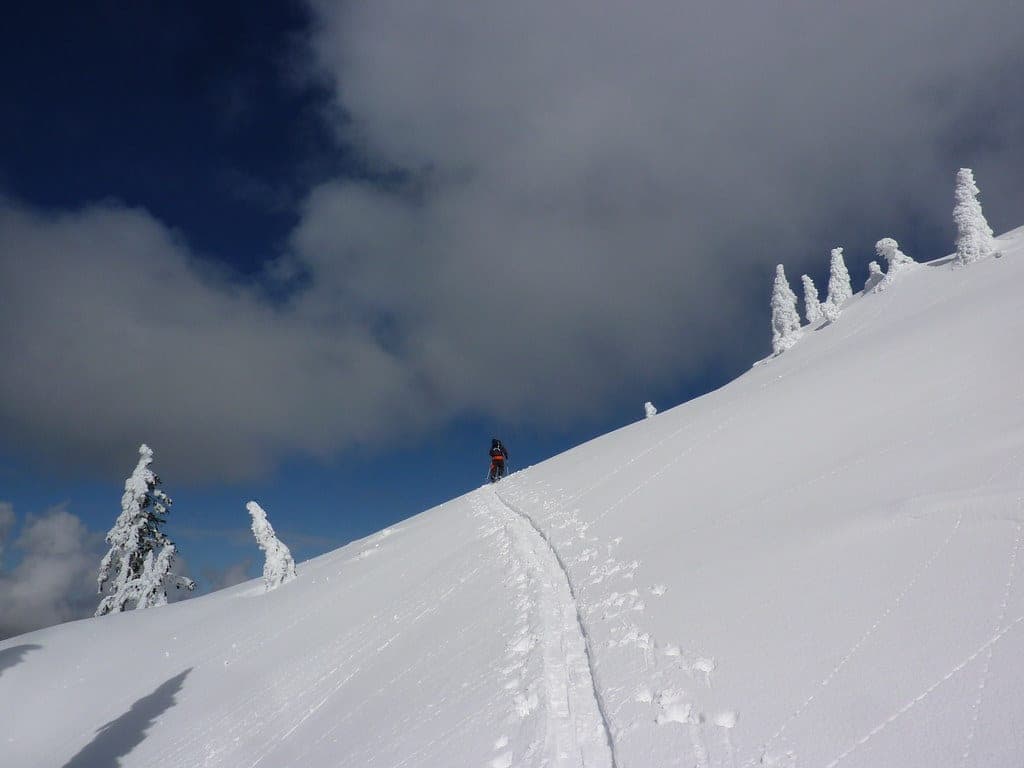
The BC Parks trail leaves the Nordic area and climbs through a stand of old-growth forest to the open summit, where the view runs north to the Lions and east along the North Shore mountains. Avalanche Canada's Trip Planner maps nearly all of the trail as simple terrain and puts the last stretch below the summit inside a challenging zone. The older Canadian Avalanche Association list on the UBC Varsity Outdoor Club wiki rated the whole trip simple, and this page follows the newer map.
Gate rules
- BC Parks asks for the free backcountry access tag on the Black Mountain and Bowen Lookout trails, which cross the alpine ski area. The Hollyburn Peak trail starts from the Nordic area kiosk and the park lists no tag for it.
- Cypress Mountain allows uphill skiing and snowshoeing on its own Nordic trails during posted hours with a Cross Country or Snowshoe Trail Ticket on display, and it treats anyone without one as a trespasser. The BC Parks winter routes fall under BC Parks rules instead.
- Cypress Mountain's uphill policy bans uphill skiing and snowshoeing inside the alpine ski area boundary during daily operations.
Watch for these hazards
- BC Parks says all three marked winter trails in Cypress Provincial Park travel through avalanche terrain, and the Hollyburn Peak trail is one of them.
- Avalanche Canada's Trip Planner puts the final slopes below the 1,325 m summit in a challenging zone.
- When mist or fog closes in and you lose your bearings, BC Parks tells you to stay where you are until it clears or someone finds you.
- North Shore Rescue tells anyone lost on these mountains to stop heading downhill, because the ravines below are steep and unstable and hard to climb out of.
- BC Parks lists black bears and coyotes among the park's animals and says cougars are seen now and then. Feeding dangerous wildlife such as bears is an offence under British Columbia's Wildlife Act.
Pick a route that suits the day
Hollyburn Peak trail
Challenging terrain
BC Parks marks this winter route from the Nordic area kiosk to the 1,325 m summit. Avalanche Canada's Trip Planner maps it as simple terrain until the last pitch, which sits in a challenging zone.
See the terrain in 3D
Go with a guide
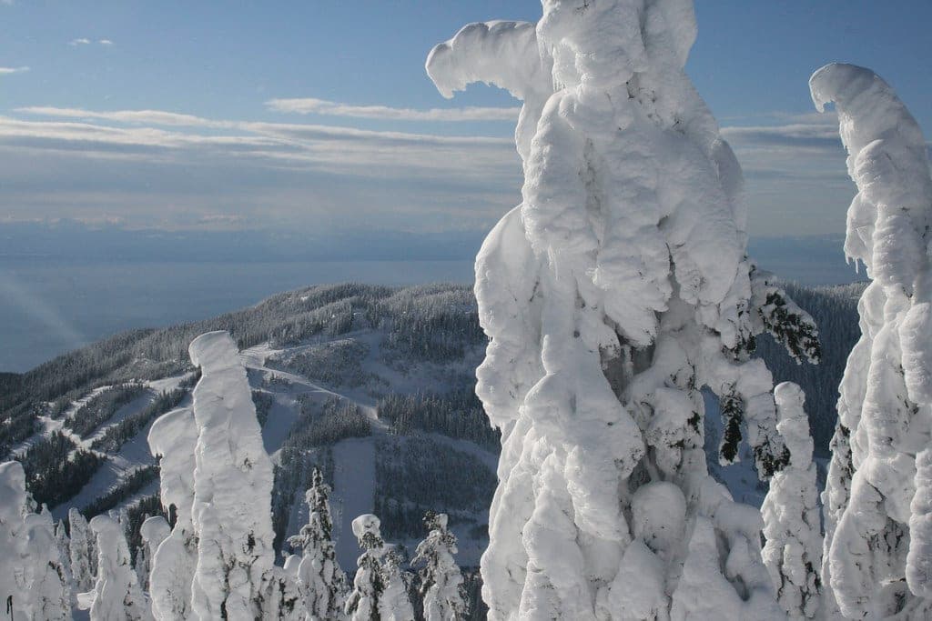
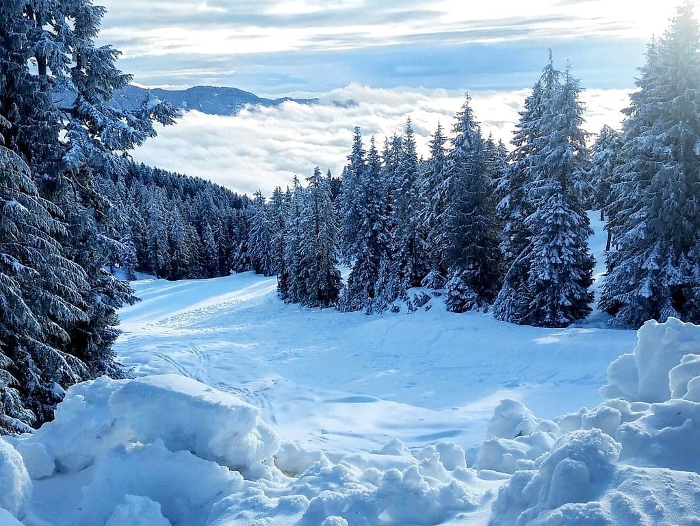
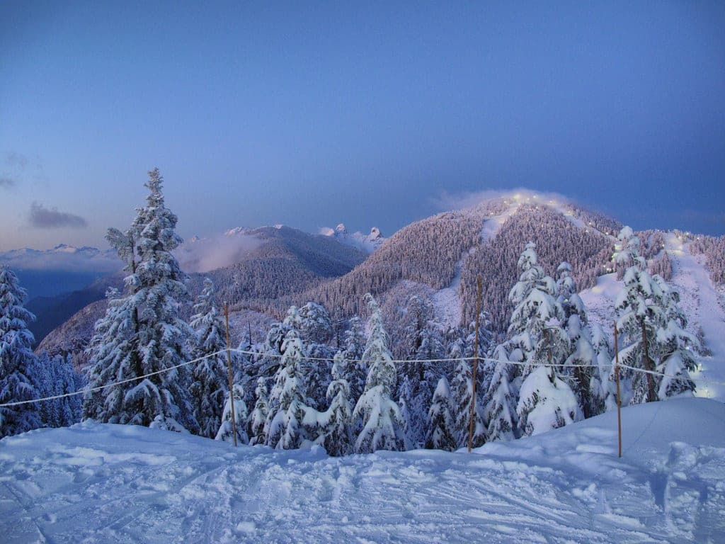
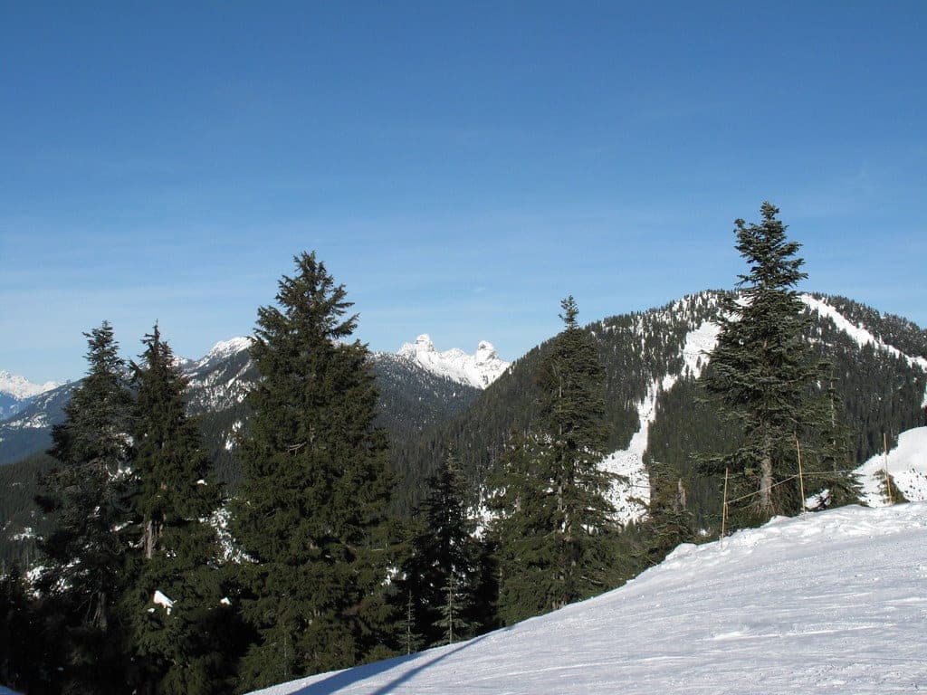
Drive 12.8 km up Cypress Bowl Road from the Upper Levels Highway and turn right for the Nordic area, then look for the BC Parks kiosk beside the parking. The trail leaves from there and climbs through old-growth forest, with its steepest pitches in the first and last stretches. On a clear day the upper section opens north to the Lions and east along the mountains above North Vancouver.
Most of the climb sits in the trees, and Avalanche Canada's Trip Planner rates nearly all of it simple. Its map changes colour just below the summit, where the last stretch falls inside a challenging zone, so read the forecast for the North Shore subregion before you leave home and decide at the treeline whether the top is on. BC Parks says all three of its marked Cypress winter trails cross avalanche terrain, and that includes this one.
BC Parks bans camping across the southern part of Cypress Provincial Park, and that covers Hollyburn Mountain. Campfires are banned everywhere in the park all year. BC Parks welcomes leashed dogs in the park and says its backcountry is a poor place for them because of wildlife encounters. The park sits in the territories of the Sḵwx̱wú7mesh Úxwumixw (Squamish Nation) and səlilwətaɬ (Tsleil-Waututh Nation).
Worth knowing
- Leave a trip plan with someone at home before you go: your route, your group, your start time and your turnaround time, plus when they should call 911. North Shore Rescue points people to the free planner at adventuresmart.ca.
- Pack North Shore Rescue's ten essentials and put a headlamp at the top of the list. The team says running out of light causes more overdue-hiker callouts than anything else.
- Take an AST 1 before your first winter tour. Avalanche Canada sets the course at two days or more and lists licensed course providers at avalanche.ca/training/courses.
- Carry a transceiver, probe and shovel for each person and practise with them.
Quick answers about Hollyburn Peak
Do you need a backcountry access tag for Hollyburn Peak?
BC Parks lists no tag for the Hollyburn Peak trail. The free backcountry access tag covers the Black Mountain and Bowen Lookout trails, which pass through the Cypress alpine ski area, and the Hollyburn trail starts at the Nordic area kiosk.
Is Hollyburn Peak avalanche terrain?
Yes. BC Parks says each of its three marked winter trails in Cypress Provincial Park travels through avalanche terrain, and Avalanche Canada's Trip Planner rates the last stretch below the 1,325 m summit as challenging.
Where do you park for the Hollyburn Peak trail?
Park at the Cypress Nordic area, 12.8 km up Cypress Bowl Road. BC Parks lists the shoulder between Cypress Bowl Road and the Nordic kiosk as free parking, and Cypress Mountain may charge in its own lots from 1 November to 31 May.
Can you bring a dog up Hollyburn Peak in winter?
BC Parks advises against it. Leashed dogs are welcome in Cypress Provincial Park, and the park says its backcountry areas are unsuitable for pets because of the risk of dangerous wildlife encounters.
How long is a tour on Hollyburn Peak?
A typical tour on Hollyburn Peak climbs bC Parks gives the summit as 1,325 m and describes a trail that starts and finishes with its steepest climbing. It publishes no height gain for the winter route.
When can you ski tour Hollyburn Peak?
The touring season on Hollyburn Peak runs bC Parks keeps Hollyburn Peak as one of the three marked winter trails in Cypress Provincial Park. Avalanche Canada starts its daily forecasts for 2026/27 on 25 November at 4 pm.
Do you need a guide for Hollyburn Peak?
Experienced, equipped groups tour Hollyburn Peak on their own, though a local guide finds better snow.
Where do you check avalanche danger for Hollyburn Peak?
Read the day's bulletin from Avalanche Canada (https://avalanche.ca/map) before every tour on Hollyburn Peak.
How do you get to the Hollyburn Peak trailhead?
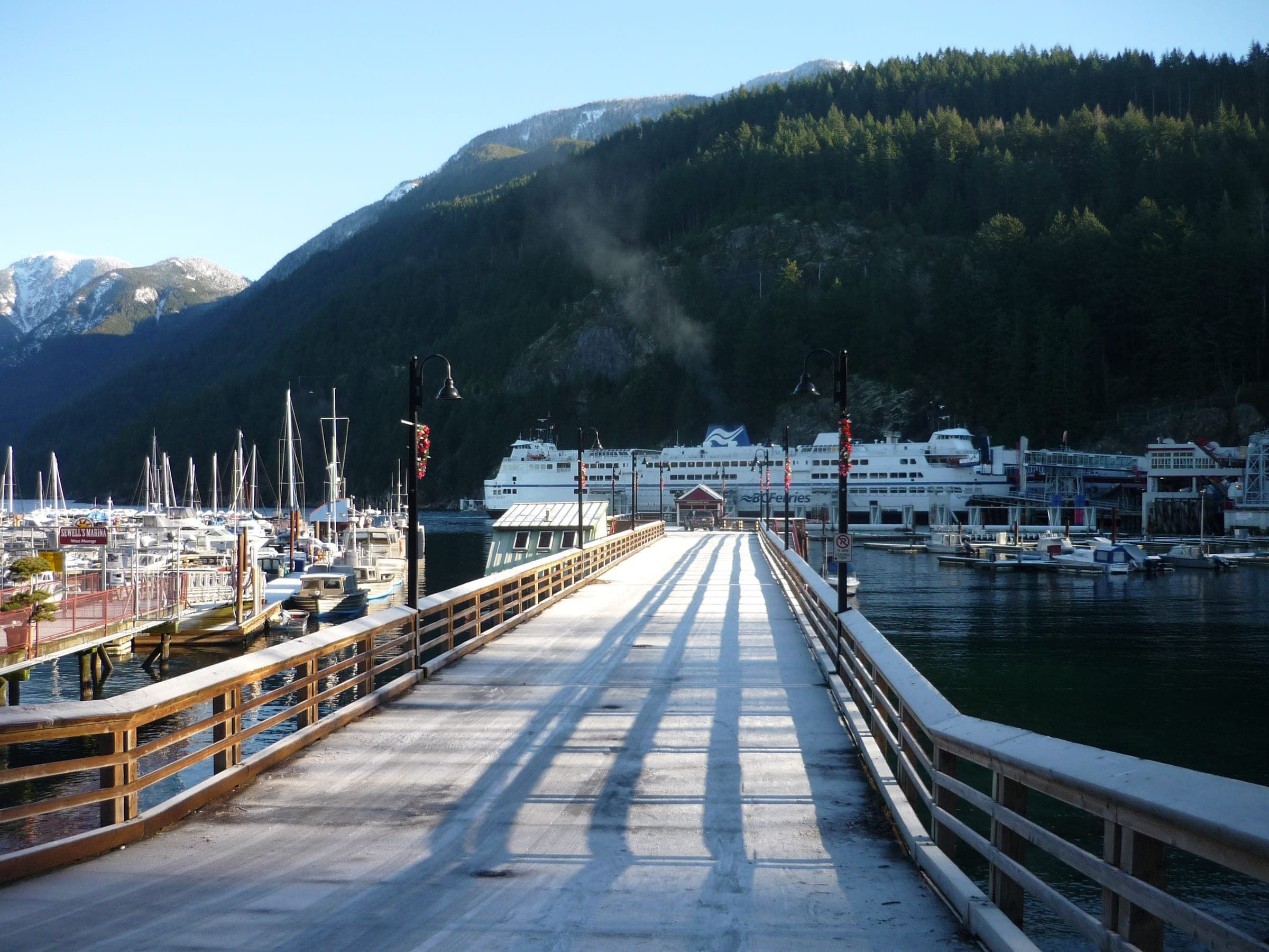
The BC Parks kiosk at the Cypress Nordic area parking trailhead is about 35 min by car from Horseshoe Bay ferry terminal in winter, 22.6 km on the road.
Within 40 km
Ski resorts nearby



Within 80 km
Backcountry zones nearby

Within 35 km
Places to stay nearby

Within 35 km