North Shore Spirit Trail
49°19′ N 123°06′ W6.7 km · 42 m upEasyCity bike, Road bike
The North Shore Spirit Trail through the City of North Vancouver is a separated waterfront greenway from West 1st Street and MacKay Road past Lonsdale Quay and the Shipyards to Lynn Creek, and it suits families and anyone stepping off the SeaBus with a bike; the catch is the zigzag through Lonsdale Quay and the street crossings further east.
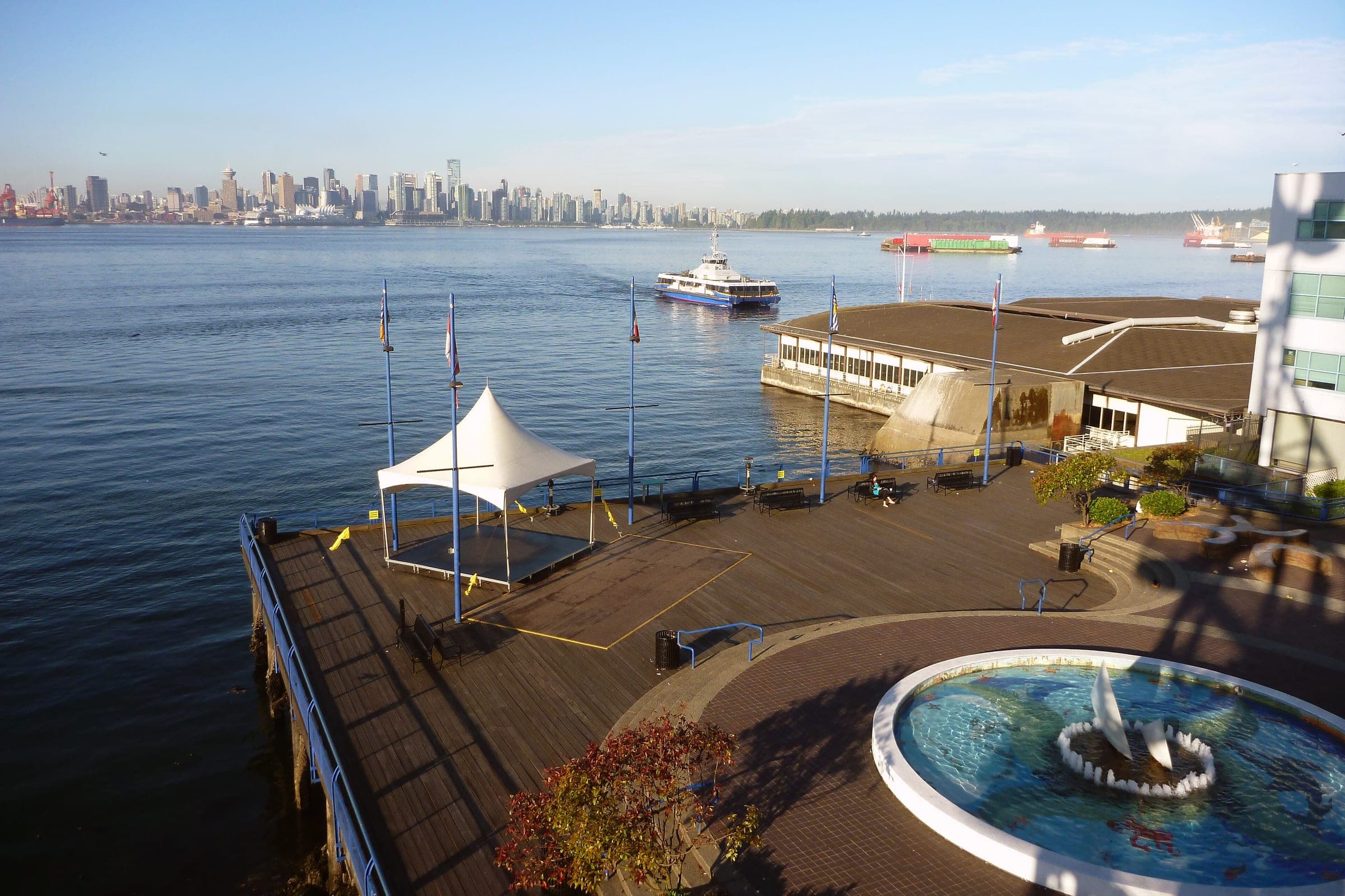
Photo by tahmoures fartashmehr on Unsplash
EasyPoint to pointCity bike, Road bike, E-bike
ShopsDrinking waterToiletsBike shopsTop of chart 100 m
Routed over OpenStreetMap with OSRM bike (FOSSGIS) and measured against Mapterhorn z15 on 2026-10-17. 0.5 km crosses bridges or water, where the elevation is drawn straight across. 0.1 km runs through tunnels, drawn straight through the hill. BRouter was not available for this build, so the surface and traffic mixes wait for the next one.
On the road
- Traffic
- The City built its section as a separated pathway, and it runs beside Esplanade and Low Level Road in places and crosses Esplanade at a signalized intersection. Walkers and people using wheeled mobility aids share it with you.
- Start
- West 1st Street at MacKay Road. The City of North Vancouver's section starts on the south side of West 1st Street at MacKay Road, where a gradual slope climbs to the Harbourside West Overpass.
- Finish
- Lynn Creek at Main Street. The City's section ends where the trail crosses Lynn Creek past Lynnmouth Park and enters the District of North Vancouver.
- Getting there
- SeaBus, R2 Marine–Willingdon RapidBus, North Shore E-bike Share
Ride safely
- The Ravine Connector near Moodyville is a pedestrian-only trail with stairs and bridges, so take the 3rd Street Overpass with a bike.
Where to stop
Stops along the way
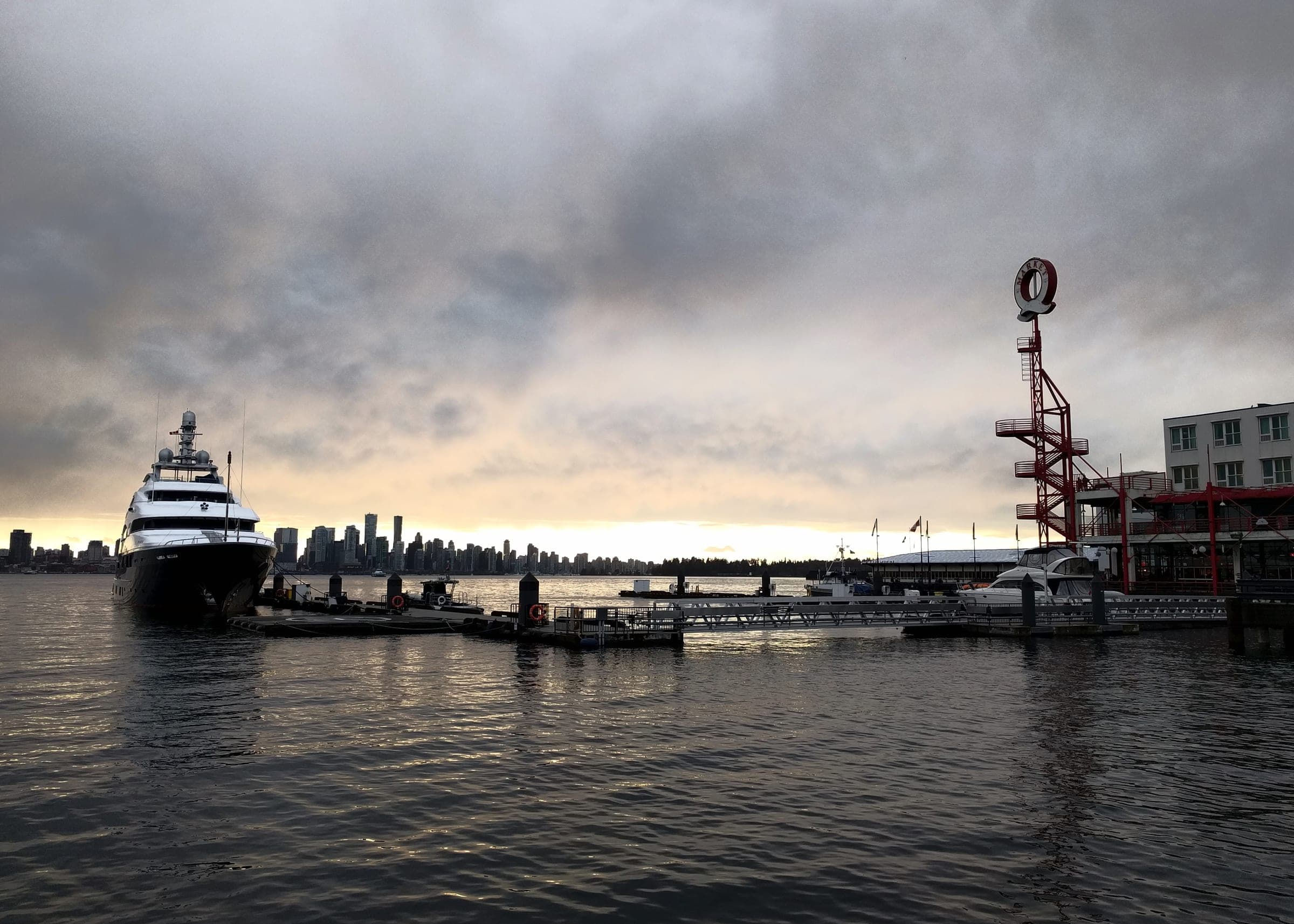
Lonsdale Quay MarketLunch
The trail zigzags through Lonsdale Quay by Carrie Cates Court and passes the SeaBus terminal.
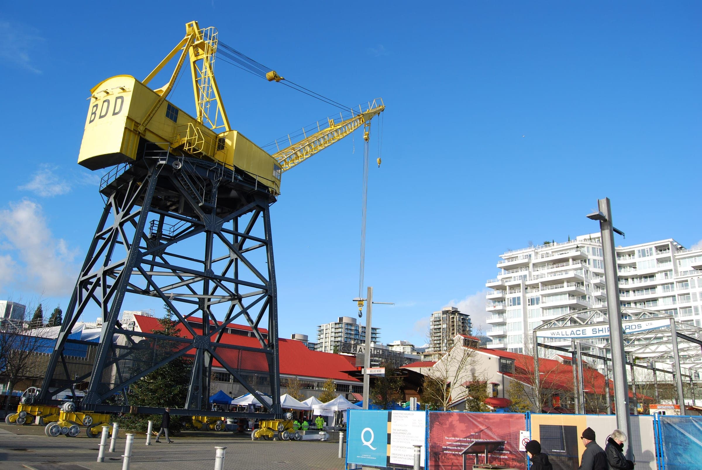
The ShipyardsSight
The City suggests a detour to the end of Burrard Dry Dock Pier.
Beere BrewingLunch
Beere's taproom at 312 East Esplanade sits on the stretch the City calls the Brewery District.
Endless BikingBike shop
Endless Biking's shop on Crown Street is a short ride past the finish.
Every stop OpenStreetMap lists along the line (22): shops, cafés, bike shops, drinking water, bike rental
- Ohm Electric BikesShopskm 0.4
- Thomas Haas ChocolatesCaféskm 0.5
- Harbourside CafeCaféskm 1.2
- DeroBike shopskm 1.3
- Cit-E CyclesShopskm 2.3
- Drinking waterDrinking waterkm 2.3
- NemesisCaféskm 2.5
- Just FoldCaféskm 2.5
- Tim HortonsCaféskm 2.5
- DeroBike shopskm 2.6
- Express News & SmokesShopskm 2.6
- Drinking waterDrinking waterkm 2.7
- Caffè ArtigianoCaféskm 2.7
- Drinking waterDrinking waterkm 2.7
- Reckless ShipyardsShopskm 2.7
- Drinking waterDrinking waterkm 2.9
- Forecast CoffeeCaféskm 3.3
- Obsession BikesShopskm 3.6
- evolve bikesharingBike rentalkm 5.3
- JJ BeanCaféskm 6.2
- Drinking waterDrinking waterkm 6.4
- Bicycle Sports PacificShopskm 6.7
From OpenStreetMap, within each kind’s reach of the line. Opening hours change; check before you rely on one.
Ways off the route
R2 Marine–Willingdon RapidBusBus
The R2 runs along North Vancouver's waterfront from Park Royal through Lonsdale Quay to Phibbs Exchange and on to Metrotown, and its front rack takes two bikes.
Rental near the start
Rent a bike for it
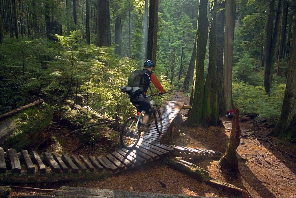
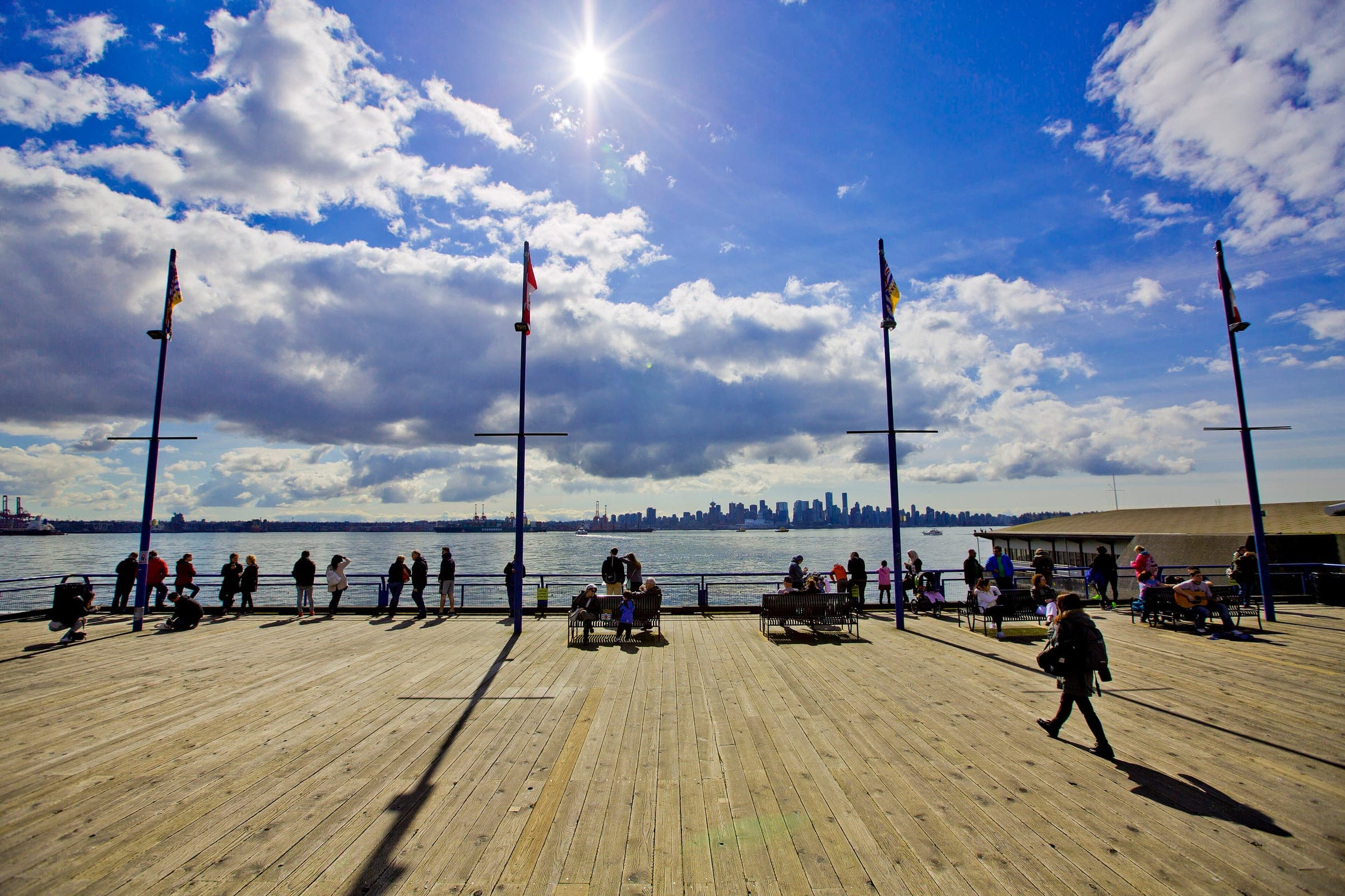
The City of North Vancouver finished its part of the Spirit Trail in July 2018, and the City says the whole greenway will one day run from Horseshoe Bay to Deep Cove. Riding east, you climb a gentle slope from West 1st Street onto the Harbourside West Overpass and come down to the waterfront by Kings Mill Walk Park. The red gateway on the Bewicke section welcomes riders to traditional Squamish village lands, in the City's words, and the trail passes the Squamish Nation's Mosquito Creek Marina before Waterfront Park and Goldsworthy Pier.
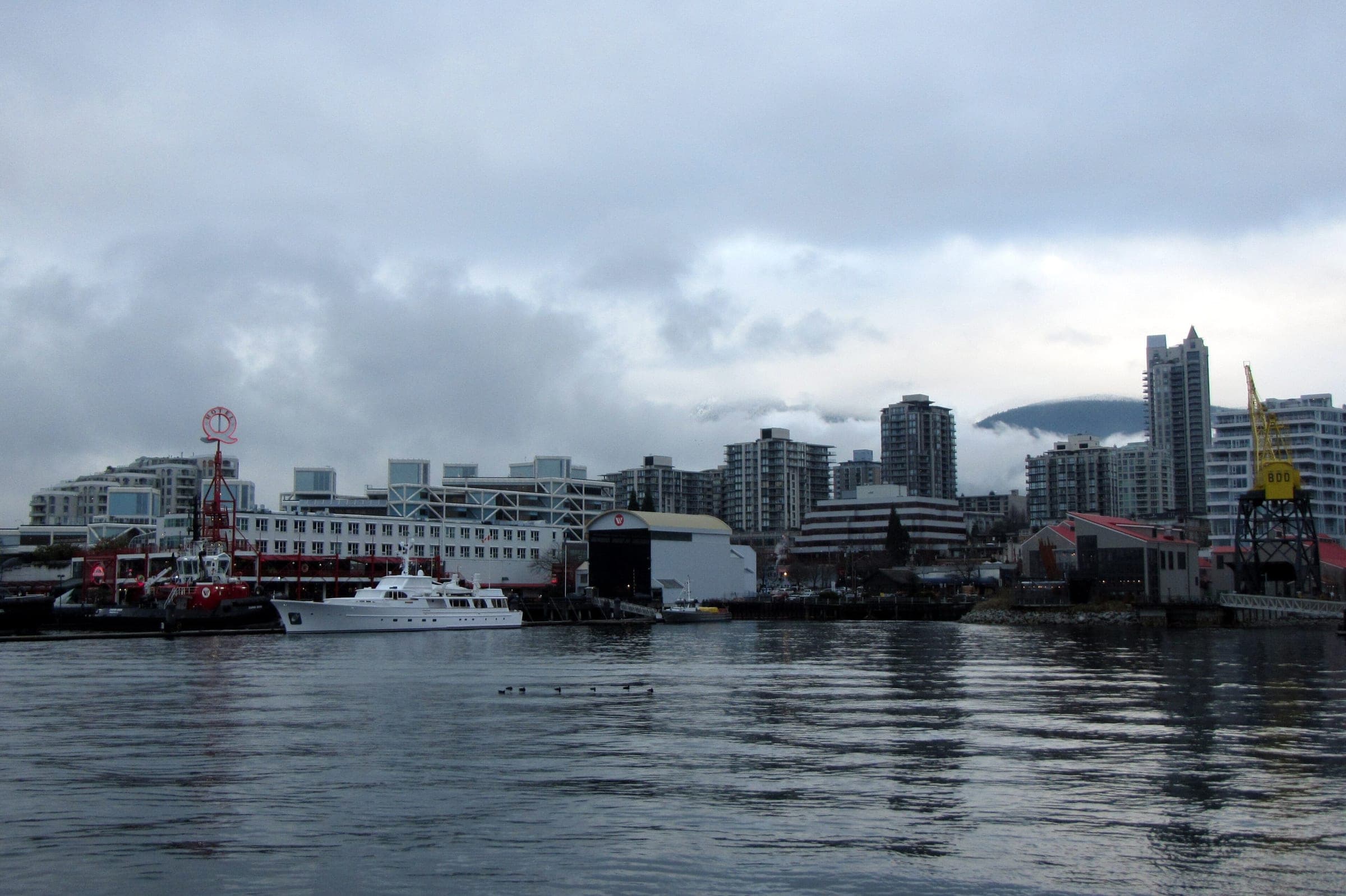
Next the trail zigzags through Lonsdale Quay by Carrie Cates Court and past the SeaBus terminal, then runs east through the Shipyards, where the City suggests a detour to the end of Burrard Dry Dock Pier. From St Georges Avenue it follows the south side of Esplanade and crosses at a signalized intersection. It then passes the breweries around St Patricks and St Davids avenues on its way to Moodyville Park. The 3rd Street Overpass, Heywood Street, Gladstone Avenue and Cotton Road then carry it to Lynnmouth Park and over Lynn Creek into the District of North Vancouver.
Worth knowing
- Bring the bike over on the SeaBus and join the trail at Lonsdale Quay, since TransLink allows bikes on every sailing with a limit of six at weekday peak times.
- Stay off the Ravine Connector with a bike, because the City built it for walkers with stairs and bridges.
Quick answers about North Shore Spirit Trail
Where does the Spirit Trail go in North Vancouver?
The City of North Vancouver's part of the Spirit Trail runs from West 1st Street and MacKay Road past Lonsdale Quay and the Shipyards to Lynn Creek. The City says the whole greenway will run from Horseshoe Bay to Deep Cove when it is finished.
Can you bring a bike on the SeaBus to the Spirit Trail?
Yes. TransLink allows bikes on the SeaBus at all times, with a limit of six bikes per sailing on weekday mornings and late afternoons, and the Spirit Trail passes the Lonsdale Quay terminal.
Is the Spirit Trail separated from traffic in North Vancouver?
Yes, for the City's section. The City of North Vancouver built its part of the Spirit Trail as a separated pathway, and it crosses roads at signalized crossings like the one on Esplanade.
How long is the North Shore Spirit Trail ride?
The North Shore Spirit Trail ride is 6.7 km with 42 m of climbing by our route data, routed over OpenStreetMap and measured against Mapterhorn z15. The highest point is 49 m, and the steepest 200 m averages 6.9%.
Where can you buy food and water on the North Shore Spirit Trail ride?
OpenStreetMap lists shops at 6 points within reach of the North Shore Spirit Trail line, and drinking water at 5. The longest stretch without shops is 3.1 km, so carry what you need for it.
Within 8 km
Places to stay nearby
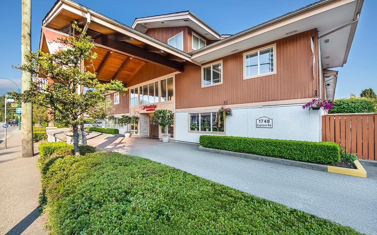
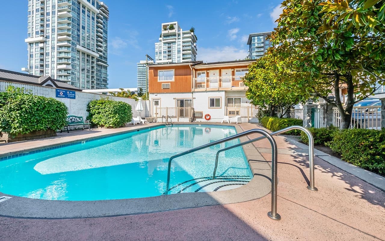

Within 8 km
Places to eat and drink nearby
Within 8 km
Sights nearby



In the journal