Seymour Valley Trailway
49°21′ N 123°01′ W22.5 km · 217 m upEasyCity bike, Road bike
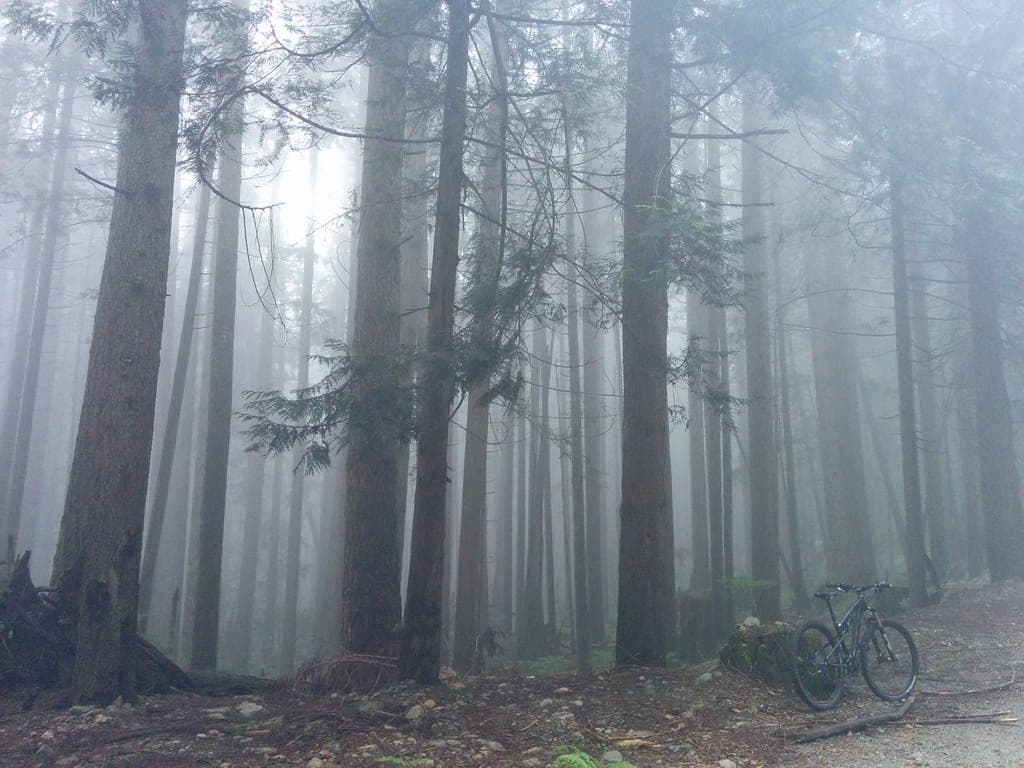
The Seymour Valley Trailway is Metro Vancouver's paved path up the Seymour River valley from the Rice Lake Gate in the District of North Vancouver to the Seymour Falls Dam and back, and it suits families and anyone who wants a car-free ride through the forest; the catch in winter is the short day, since the reserve opens only from 6 am to 5 pm from November to February.
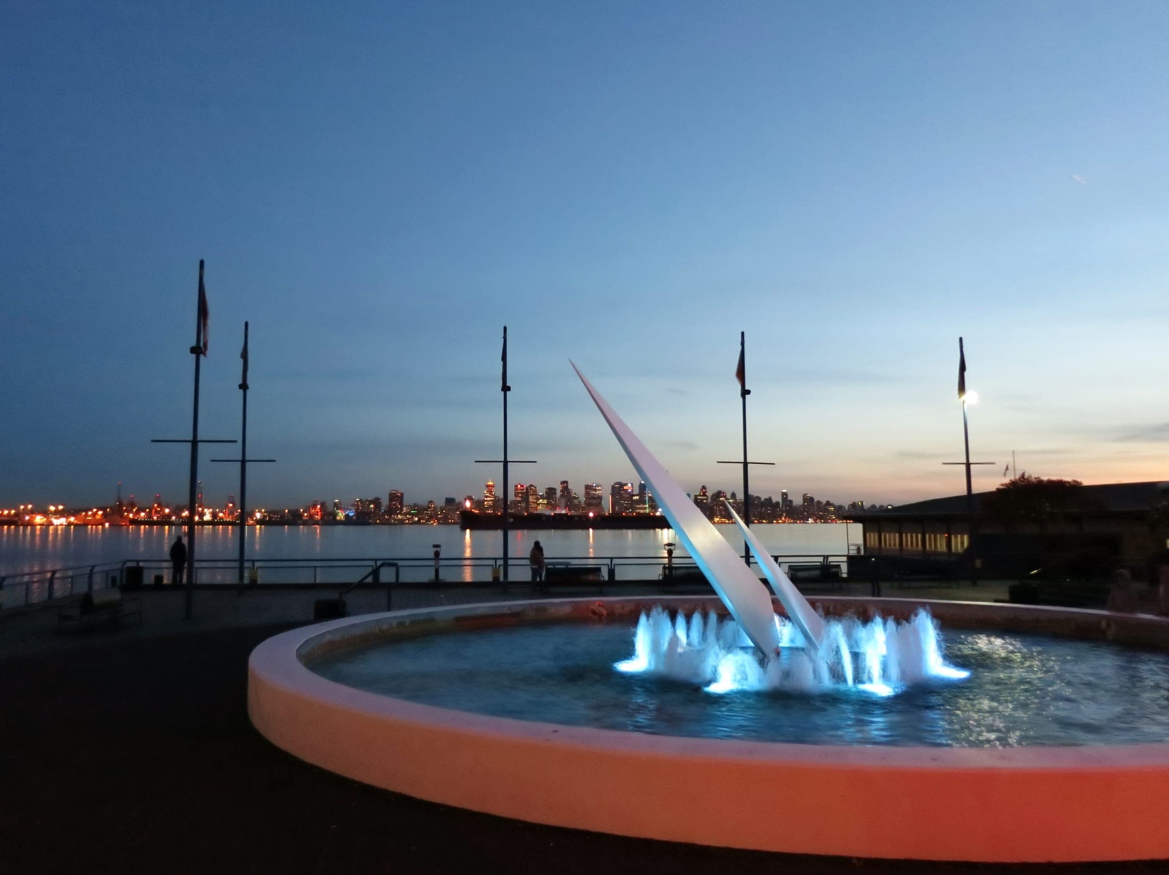
Photo Jeff Hitchcock · Wikimedia Commons · CC BY 3.0 and others, credited in the gallery
Field card · Route · No. 006 · checked 16 Oct 2026
EasyOut and backCity bike, Road bike, Gravel bike, E-bike
ShopsDrinking waterToiletsBike shopsTop of chart 300 m
Routed over OpenStreetMap with OSRM bike (FOSSGIS) and measured against Mapterhorn z15 on 2026-10-17. 0.9 km crosses bridges or water, where the elevation is drawn straight across. BRouter was not available for this build, so the surface and traffic mixes wait for the next one.
On the road
- Surface
- Metro Vancouver describes the trailway as smooth pavement. Its last stretch to the dam follows the paved Seymour Mainline, which OpenStreetMap marks as open to the public there.
- Traffic
- Metro Vancouver keeps motorized vehicles off the reserve's trail network, so you share the trailway with walkers and other riders. It asks cyclists to stay under 30 km/h and yield to everyone else.
- Start
- Rice Lake Gate, Lower Seymour Conservation Reserve. The trailway starts by the Rice Lake Gate at the top of Lillooet Road, beside the reserve's main parking lot and washrooms. Every vehicle has to be out of the lower gate at the bottom of Lillooet Road by the posted closing time.
- In winter
- Metro Vancouver opens the reserve from 6 am to 5 pm from November to February, so a winter ride has to be back at the car before the lower gate closes. It warns that it closes areas in bad weather.
- In summer
- From June to August the reserve stays open from 6 am to 9 pm.
Ride safely
- Metro Vancouver does not monitor the ice on Rice Lake in winter and tells visitors to stay off the lake for any reason.
- The reserve closes at 5 pm from November to February, so start early enough to ride back down in daylight.
Where to stop
Stops along the way
Rice LakeSight
Metro Vancouver's gravel loop around Rice Lake starts beside the trailway, and dogs are not permitted on it.
Seymour Reservoir ViewpointView
OpenStreetMap marks a viewpoint over the reservoir beside the picnic area at the Seymour Falls Dam, where the route turns round.
Every stop OpenStreetMap lists along the line (6): drinking water, bike shops
- Drinking waterDrinking waterkm 0
- DeroBike shopskm 0
- Bike shopsBike shopskm 9.4
- Bike shopsBike shopskm 13.1
- Drinking waterDrinking waterkm 22.5
- DeroBike shopskm 22.5
From OpenStreetMap, within each kind’s reach of the line. Opening hours change; check before you rely on one.
Park and forest rules
Metro Vancouver runs the Lower Seymour Conservation Reserve. It allows only Class 1 pedal-assisted e-bikes and keeps throttle-operated vehicles off the trails. Dogs are not permitted on the Seymour Valley Trailway, and the Seymour Mainline between the Rice Lake Gate and Stoney Creek is a closed service road.
Rental near the start
Rent a bike for it
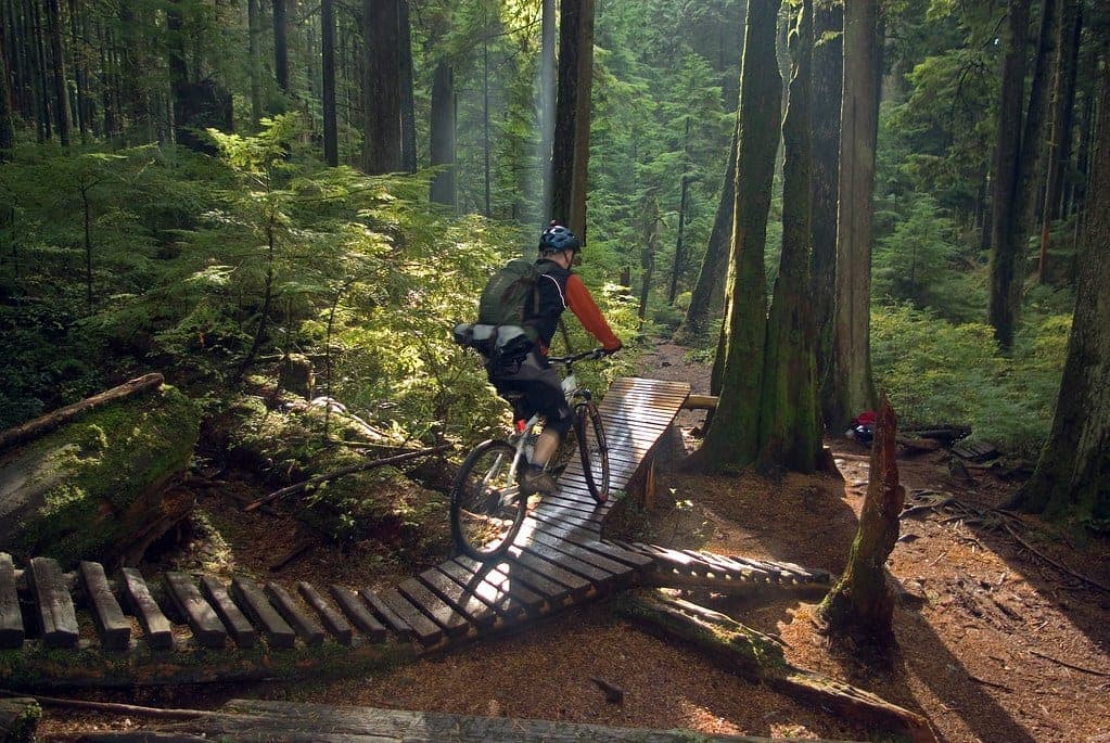
Metro Vancouver calls the Seymour Valley Trailway easy and accessible, and it runs as smooth pavement from the Rice Lake Gate up the valley of the Seymour River. The whole ride stays inside the Lower Seymour Conservation Reserve at the top of Lillooet Road. Near the top the trail joins the Seymour Mainline, a paved service road that is open to the public for its last stretch. It ends at the Seymour Falls Dam, where a picnic area looks out over the reservoir.
You ride back down the same way. Metro Vancouver opens the reserve at 6 am all year and closes it at 5 pm from November to February, 7 pm in March and April and 9 pm from June to August, and every car has to be out of the lower gate by then. Leave the dog at home, since Metro Vancouver bars dogs from the trailway. Only Class 1 pedal-assisted e-bikes are allowed in the reserve, so a throttle e-bike stays in the car.
Worth knowing
- Start before noon from November to February, because the reserve closes at 5 pm and the ride back takes time.
- Rent a bike from Endless Biking by the Second Narrows if you arrive without one.
Quick answers about Seymour Valley Trailway
Can you bike the Seymour Valley Trailway?
Yes. The Seymour Valley Trailway is a paved path in Metro Vancouver's Lower Seymour Conservation Reserve that runs from the Rice Lake Gate up the valley, and cyclists must stay under 30 km/h and yield to other users.
Are e-bikes allowed on the Seymour Valley Trailway?
Only Class 1 pedal-assisted e-bikes. Metro Vancouver allows no other e-bikes in the Lower Seymour Conservation Reserve, and throttle-operated vehicles are not permitted on the trails.
Can you bring a dog on the Seymour Valley Trailway?
No. Metro Vancouver does not permit dogs on the Seymour Valley Trailway or on the Rice Lake Loop Trail.
What time does the Lower Seymour Conservation Reserve close in winter?
The Lower Seymour Conservation Reserve closes at 5 pm from November to February and opens at 6 am, by Metro Vancouver's posted hours. Every vehicle must be out of the lower gate at the bottom of Lillooet Road by closing time.
How long is the Seymour Valley Trailway ride?
The Seymour Valley Trailway ride is 22.5 km with 217 m of climbing by our route data, routed over OpenStreetMap and measured against Mapterhorn z15. The highest point is 252 m, and the steepest 200 m averages 6.5%.
Where can you buy food and water on the Seymour Valley Trailway ride?
OpenStreetMap lists shops at no point within reach of the Seymour Valley Trailway line, and drinking water at one. The longest stretch without shops is 22.5 km, so carry what you need for it.
Within 8 km
Places to stay nearby

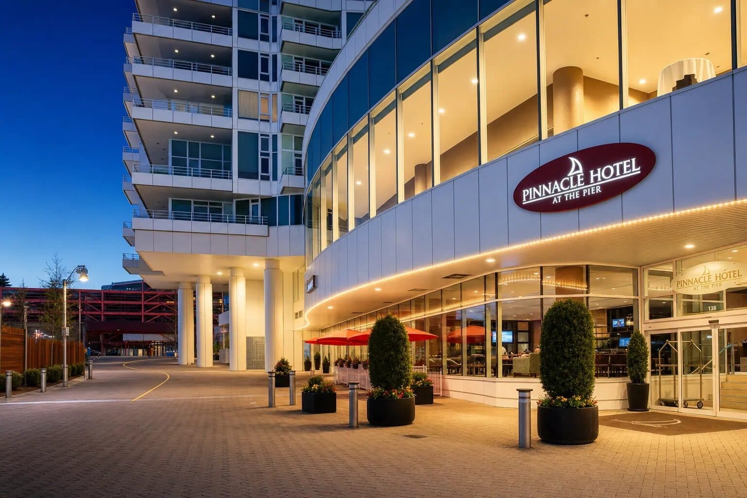
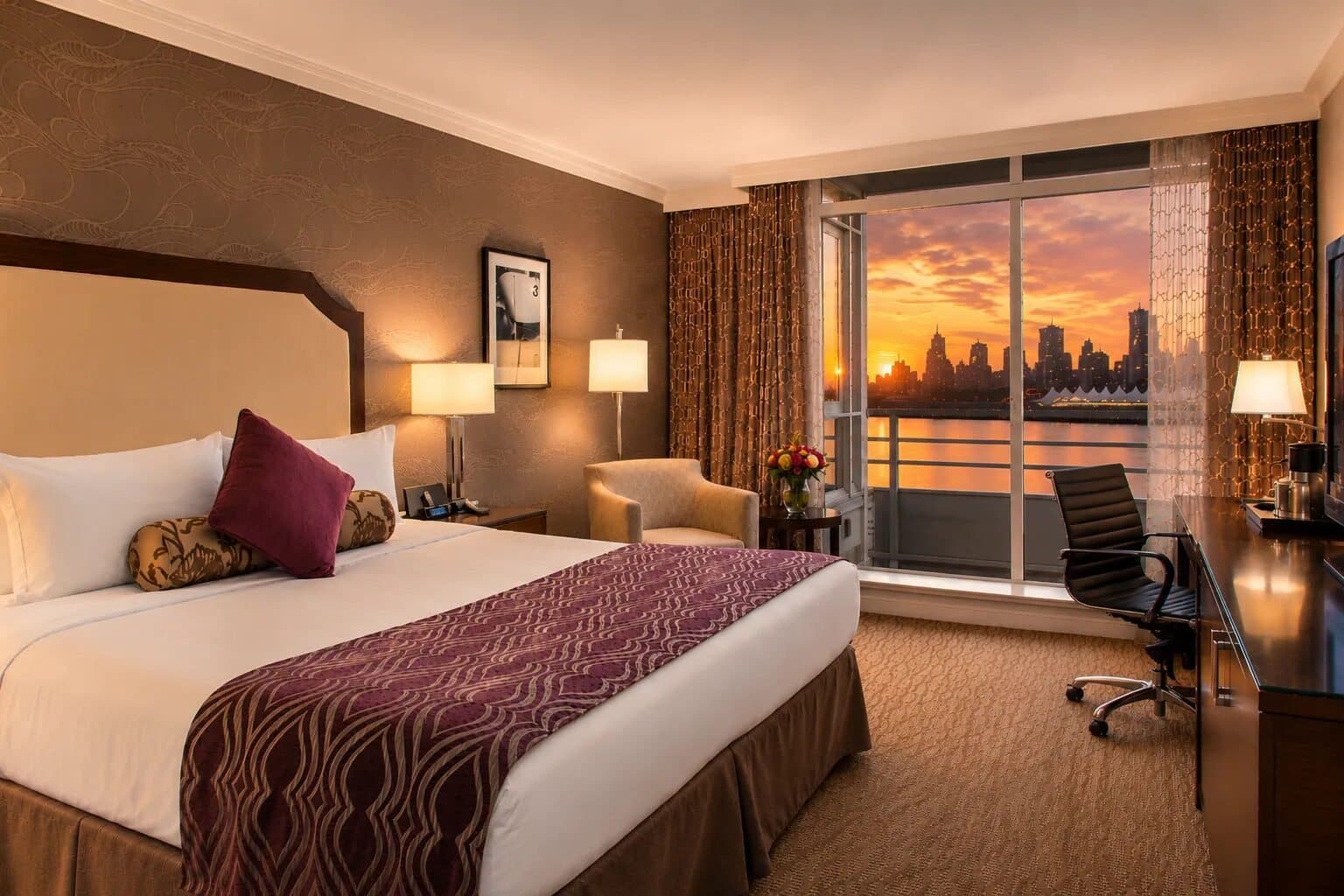
Within 8 km
Places to eat and drink nearby

Within 8 km