Cypress Bowl Road climb
49°21′ N 123°12′ W15.7 km · 754 m upHardRoad bike, E-bikeTemporarily closed
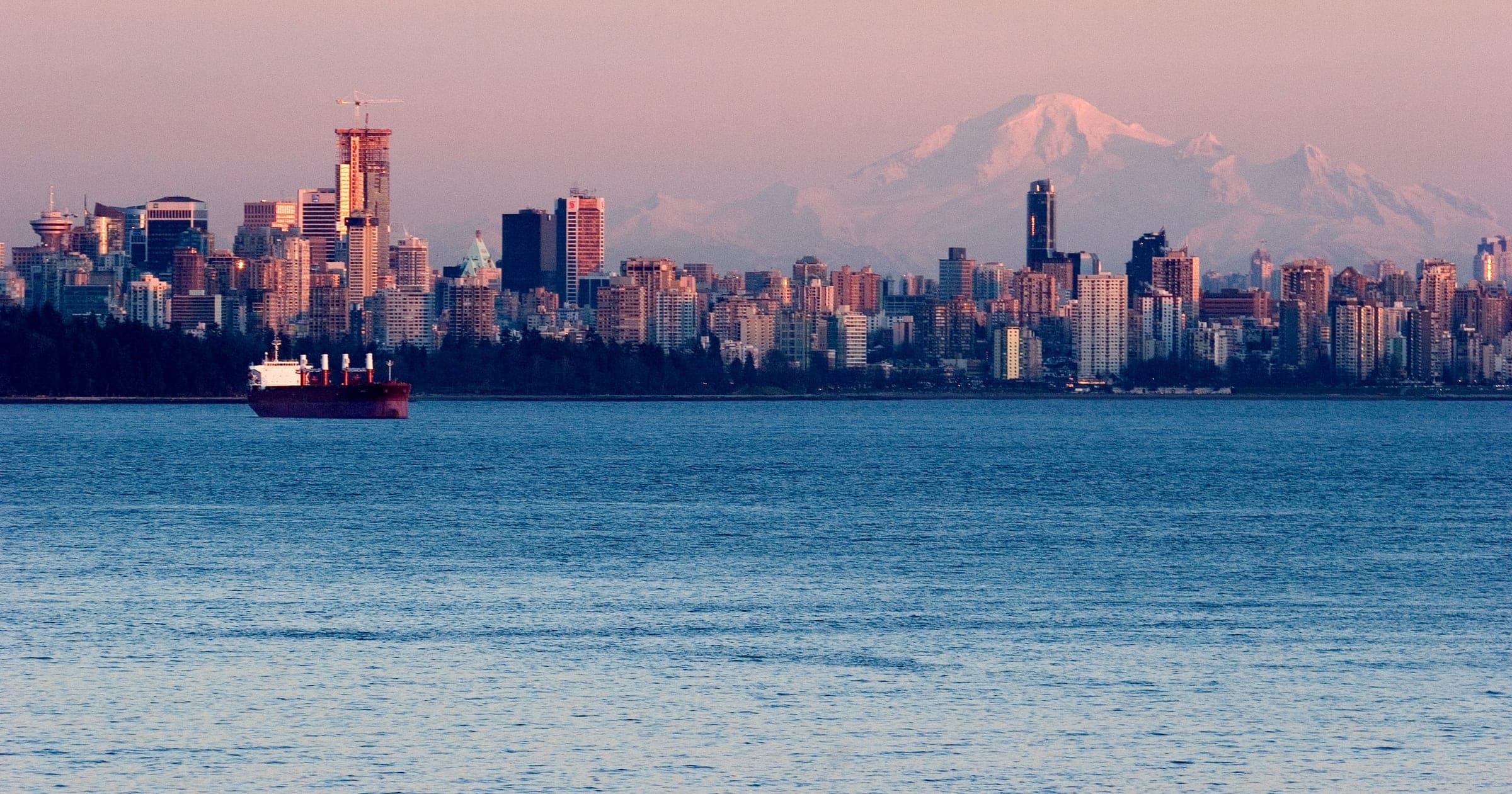
The Cypress Bowl Road climb runs from Highway 1 in West Vancouver up a ladder of switchbacks to the Cypress Mountain ski area, and it suits fit road riders who want a long climb with Vancouver below them; the catch in October 2026 is a BC Parks closure to cyclists while crews repave the road.
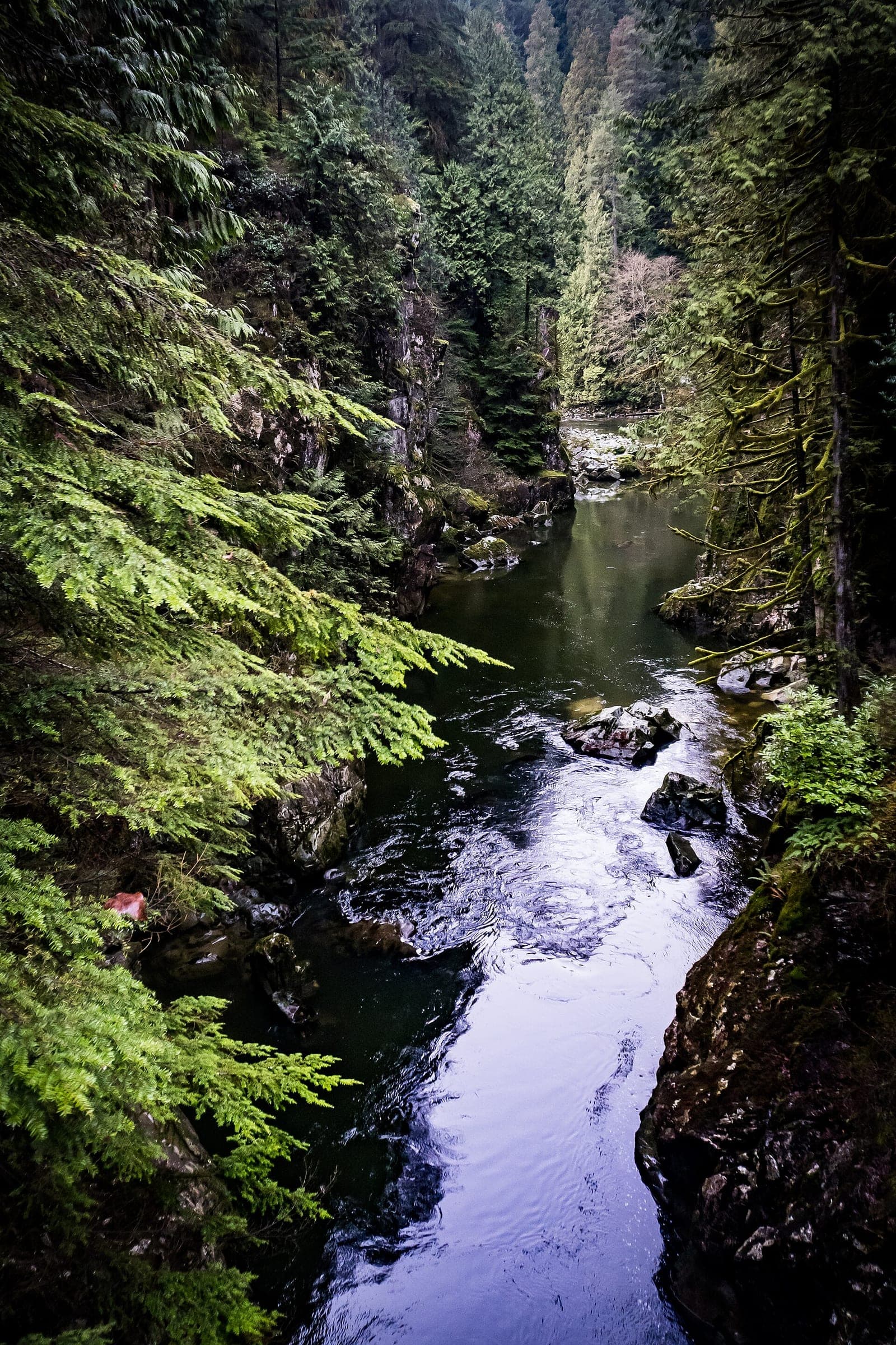
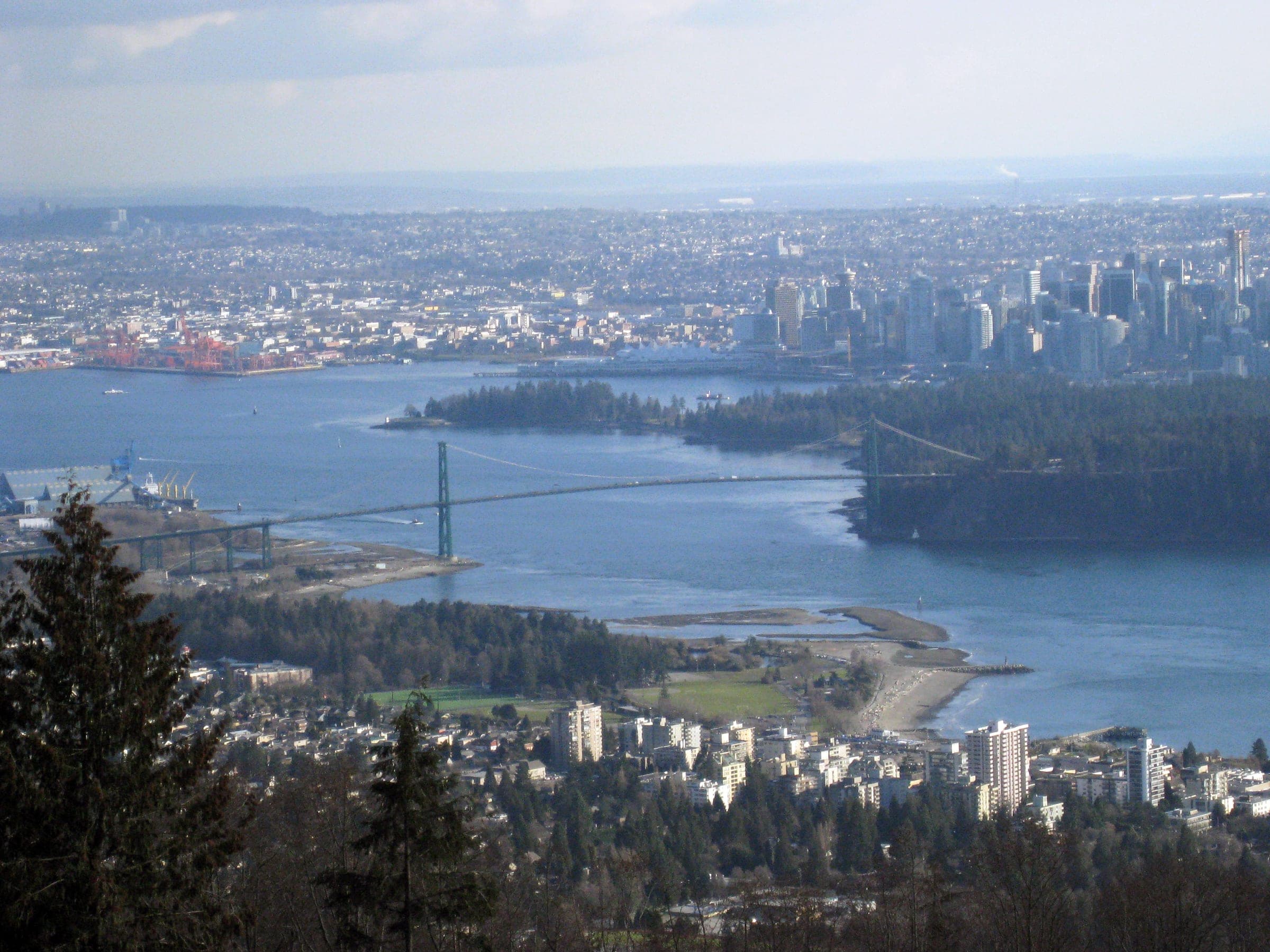
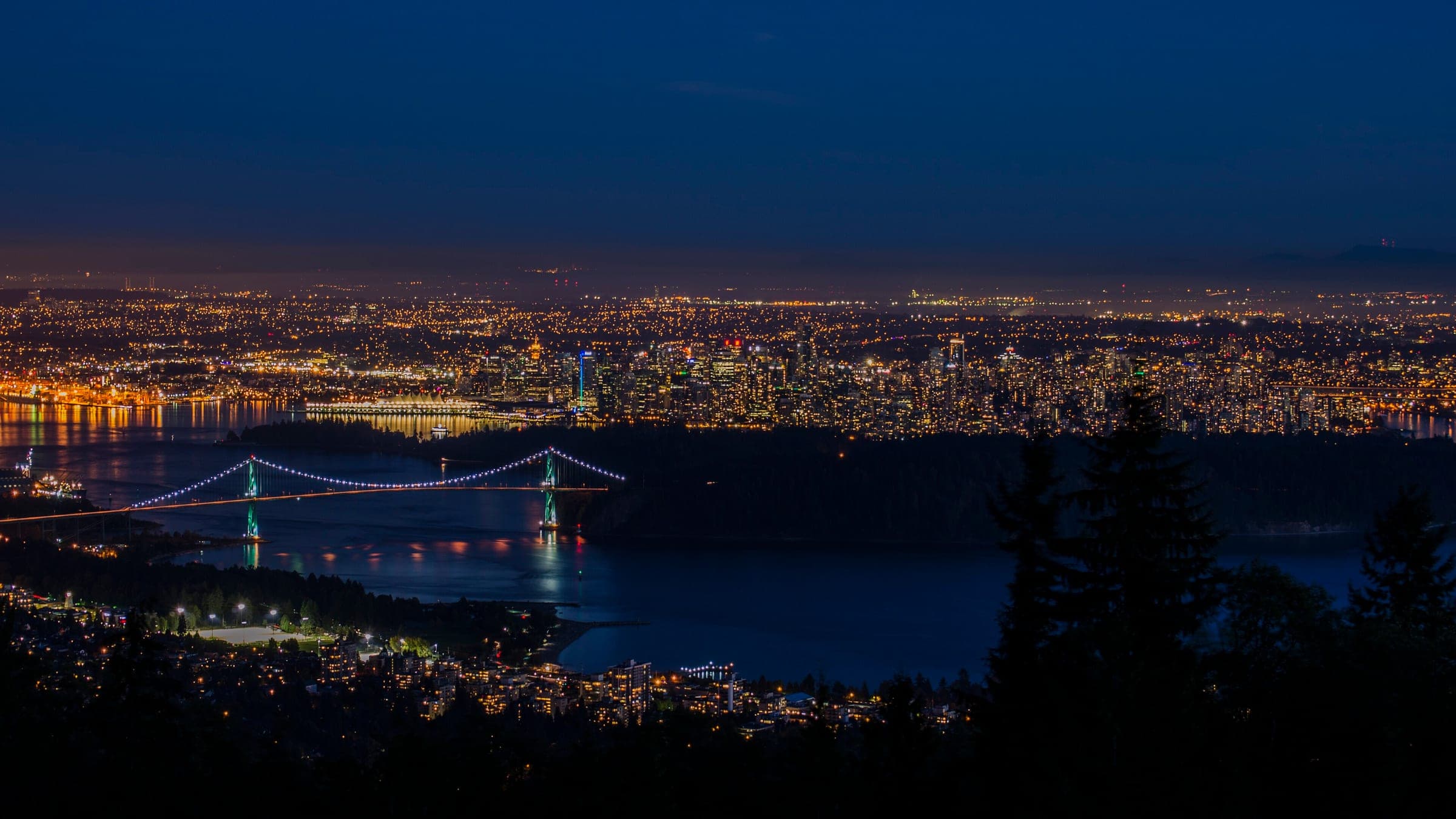
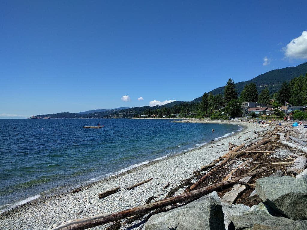
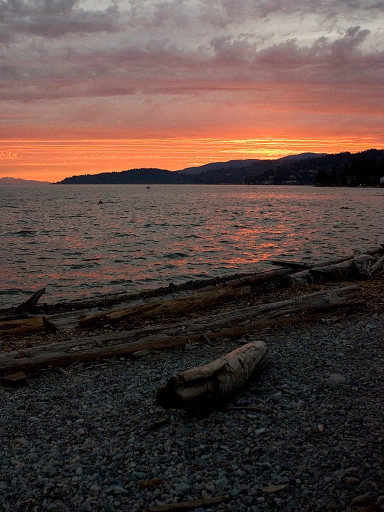
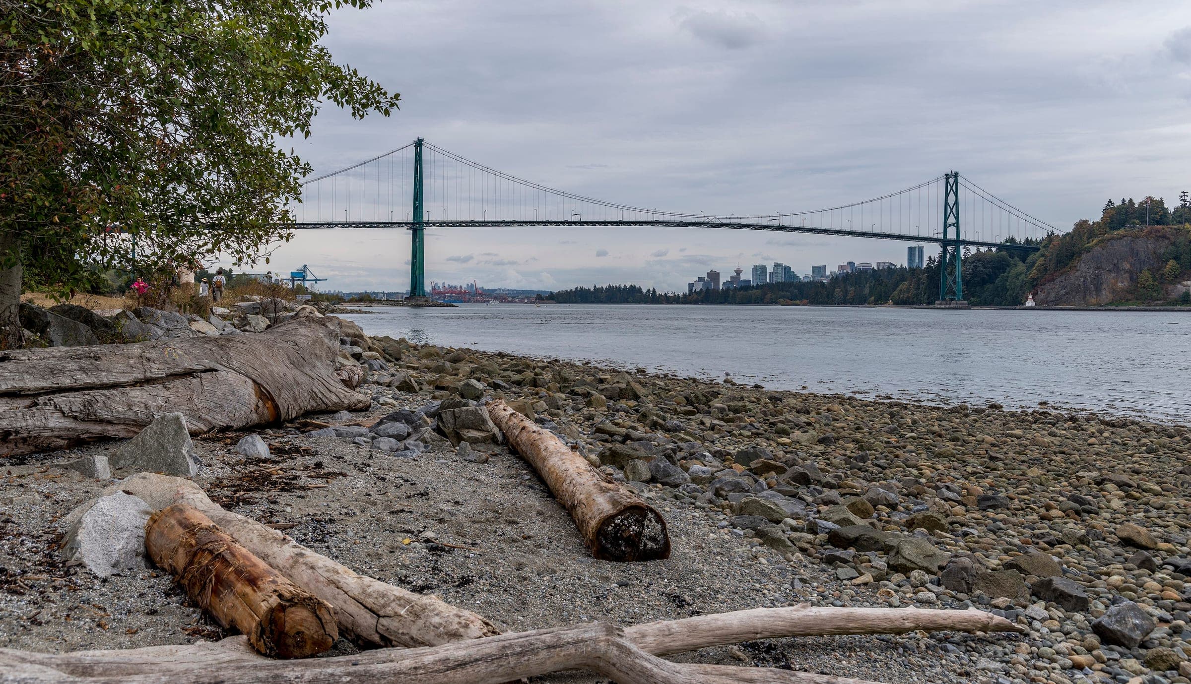
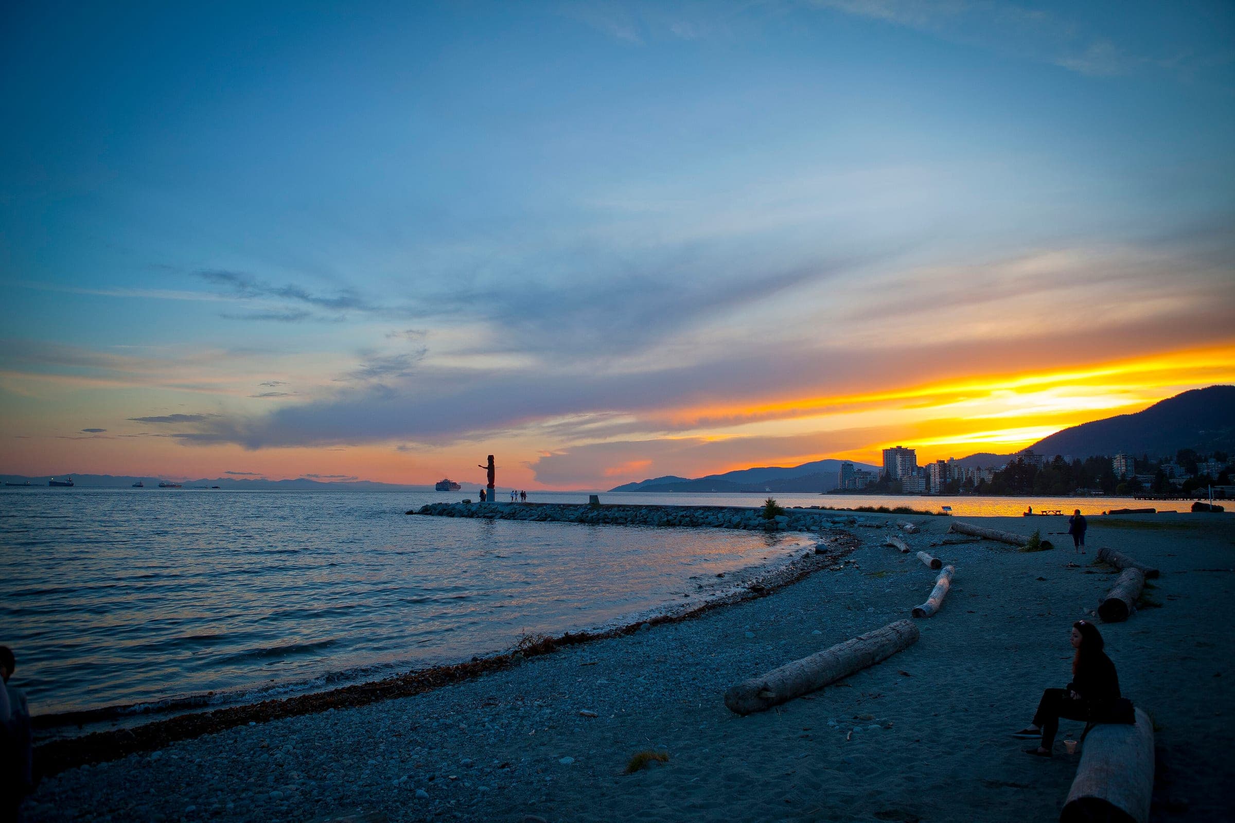
Photo Ruth Hartnup from Vancouver, Canada · Wikimedia Commons · CC BY 2.0 and others, credited in the gallery
Field card · Route · No. 001 · checked 16 Oct 2026

HardPass ascentRoad bike, E-bike
ShopsDrinking waterToiletsBike shopsTop of chart 950 m
Routed over OpenStreetMap with OSRM bike (FOSSGIS) and measured against Mapterhorn z15 on 2026-10-17. 0.1 km crosses bridges or water, where the elevation is drawn straight across. BRouter was not available for this build, so the surface and traffic mixes wait for the next one.
On the road
- Traffic
- Cypress Bowl Road is the one road up to Cypress Provincial Park and the ski area, so you share it with every car and coach heading for the lifts and the trailheads. Cypress Mountain requires drivers to run winter tires on it from 1 October to 30 April.
- Start
- Cypress Bowl Road at Highway 1 (Exit 8). Cypress Mountain sends drivers off Highway 1 at Exit 8 onto Cypress Bowl Road, and the climb starts at that interchange.
- Finish
- Cypress Creek Lodge at the downhill area. The road ends in the downhill area's lots beside Cypress Creek Lodge. You pass the turn-off for the Nordic area at Hollyburn on the way up.
- In fall
- BC Parks keeps the road closed to cyclists until the 2026 repaving is done, which it estimates for the end of October 2026.
- In winter
- Cypress Mountain requires winter tires on Cypress Bowl Road from 1 October to 30 April, and ski traffic fills the road once the hill opens. The top of the road is a ski area, so expect snow banks and cold air on the descent.
Ride safely
- Check BC Parks' Cypress advisories before you ride after October 2026, since cyclists stay off the road until the repaving is finished.
- The descent shares its hairpins with ski traffic from opening day, so run lights and hold your line on the corners.
Where to stop
Stops along the way
High View LookoutView
OpenStreetMap marks this lookout beside the first big hairpin above Highway 1.
Every stop OpenStreetMap lists along the line (2): bike shops, drinking water
- SarisBike shopskm 2.2
- Drinking waterDrinking waterkm 15.5
From OpenStreetMap, within each kind’s reach of the line. Opening hours change; check before you rely on one.
Park and forest rules
The upper road runs through Cypress Provincial Park, where BC Parks allows bicycles only on the park roads and keeps them off every trail. E-bikes are limited to the park roads and the areas open to motor vehicles. BC Parks reminds riders that bike helmets are mandatory in British Columbia.
Cypress Bowl Road leaves Highway 1 at Exit 8 and doubles back on itself through a set of long switchbacks before it turns north into Cypress Provincial Park. OpenStreetMap marks a lookout beside the first big hairpin. Higher up, the turn-off for the Nordic area at Hollyburn comes first, and the downhill area by Cypress Creek Lodge marks the end of the road. Cypress Mountain counts its driving directions from the exit to that lodge, and this route follows the same line.
This fall the climb is off limits. BC Parks has barred cyclists from the road since 13 July 2026 while crews repave it from the District of West Vancouver works yard up to the resort, and its advisory still stood on 16 October 2026 with the work due to finish at the end of October. Cypress Mountain requires drivers to run winter tires on the road from 1 October to 30 April, so once it reopens to bikes you share the hairpins with ski traffic.
Worth knowing
- Read BC Parks' Cypress page on the morning you ride, because its advisories carry the road closures.
- Pack a warm layer for the way down, since the road ends at a ski area.
Quick answers about Cypress Bowl Road climb
Can you cycle up Cypress Bowl Road right now?
No. BC Parks has closed Cypress Bowl Road to cyclists since 13 July 2026 while the road is repaved, and the advisory still stood on 16 October 2026. BC Parks estimates the work will finish at the end of October 2026.
Where does the Cypress Bowl Road climb start?
The Cypress Bowl Road climb starts at Exit 8 on Highway 1 in West Vancouver, where Cypress Mountain's directions send drivers onto the road. It ends at the downhill area by Cypress Creek Lodge.
Do drivers need winter tires on Cypress Bowl Road?
Yes. Cypress Mountain requires drivers to run winter tires on Cypress Bowl Road from 1 October to 30 April, and cyclists share the road with that traffic all season.
Can you ride a bike on the trails in Cypress Provincial Park?
No. BC Parks allows bicycles only on the park roads in Cypress Provincial Park, and e-bikes only on the roads and areas open to motor vehicles.
How long is the Cypress Bowl Road climb ride?
The Cypress Bowl Road climb ride is 15.7 km with 754 m of climbing by our route data, routed over OpenStreetMap and measured against Mapterhorn z15. The highest point is 919 m, and the steepest 200 m averages 11.3%.
Where can you buy food and water on the Cypress Bowl Road climb ride?
OpenStreetMap lists shops at no point within reach of the Cypress Bowl Road climb line, and drinking water at one. The longest stretch without shops is 15.7 km, so carry what you need for it.
Is Cypress Bowl Road climb open now?
Cypress Bowl Road climb is temporarily closed. BC Parks closed Cypress Bowl Road to cyclists from 13 July 2026 while crews repave the road between the District of West Vancouver works yard at the bottom and Cypress Mountain Resort. The advisory still stood when we checked on 16 October 2026, and BC Parks puts the end of the work at the end of October. Cars keep their access to the park on single-lane alternating traffic over gravel, and DriveBC lists the paving from 5 am to 5 pm daily until 31 October.
Within 8 km
Places to stay nearby

Within 8 km
Places to eat and drink nearby
Within 8 km