Valley Trail from Whistler Village to Cheakamus Crossing
50°07′ N 122°57′ W20.7 km · 270 m upEasyCity bike, E-bike
The Valley Trail from Whistler Village to Cheakamus Crossing follows Whistler's paved shared-use path south past Alta Lake and Creekside and back, and it suits families and anyone who wants to see the valley between ski days; in winter the catch is snow, so check the municipality's winter map of maintained sections before you ride.
Wildlife notice
A food-conditioned black bear turns up at Lakeside Park in Whistler
The Resort Municipality of Whistler reported on 15 October 2026 that a food-conditioned black bear has been turning up in Lakeside Park on Alta Lake, and it once took food off a picnic table. A conservation officer hazed it out of the area. Keep food and anything with a scent packed away while you're in the park, and use the bear-proof bins.
Checked 2026-10-17 · whistler.ca
Photo Ruth Hartnup from Vancouver, Canada · Wikimedia Commons · CC BY 2.0 and others, credited in the gallery
Field card · Route · No. 008 · checked 16 Oct 2026
EasyOut and backCity bike, E-bike, Gravel bike
ShopsDrinking waterToiletsBike shopsTop of chart 750 m
Routed over OpenStreetMap with OSRM bike (FOSSGIS) and measured against Mapterhorn z15 on 2026-10-17. 0.3 km crosses bridges or water, where the elevation is drawn straight across. BRouter was not available for this build, so the surface and traffic mixes wait for the next one.
On the road
- Surface
- The Resort Municipality of Whistler describes the Valley Trail as a paved shared-use trail.
- Traffic
- You share the Valley Trail with walkers, and the municipality asks everyone to share the trail. Short links run on residential streets in Creekside and at Cheakamus Crossing.
- Start
- Whistler Village. The route joins the Valley Trail at the south edge of Whistler Village by Village Gate Boulevard.
- In winter
- The municipality keeps most of the Valley Trail maintained for walking and biking through the winter, and its winter map shows which sections it clears. Some sections stay lit at night all year, and the stretch from Creekside through Spring Creek to Cheakamus Crossing is one of them.
Ride safely
- Some Valley Trail sections are lit at night and others are not, so carry lights on winter afternoons.
- Check the municipality's winter Valley Trail map before you set out, since some sections are groomed for skiing or closed from November to April.
Where to stop
Stops along the way
Whistler VillageCoffee
The ride starts and finishes at the edge of the Village.
Lakeside ParkView
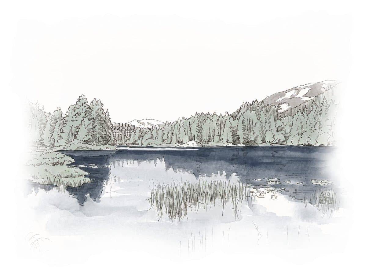
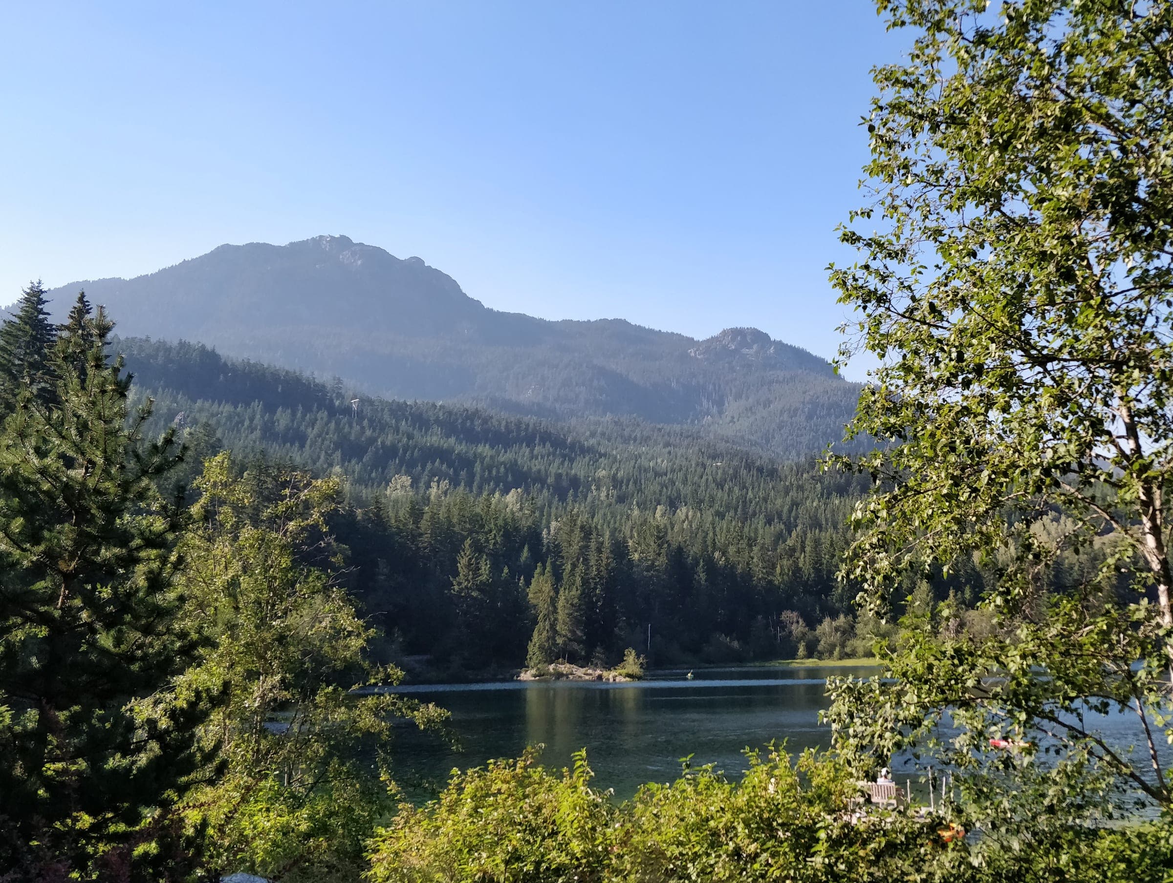
Lakeside Park sits on Alta Lake beside the trail.
Nita Lake LodgeLunch
Nita Lake Lodge sits on Nita Lake beside the trail at Creekside.
CreeksideCoffee
Creekside has its own gondola base and cafés a short way off the trail.
Every stop OpenStreetMap lists along the line (12): cafés, bike shops, drinking water, shops
- Moguls CoffeeCaféskm 0.1
- Bike shopsBike shopskm 0.1
- Drinking waterDrinking waterkm 0.3
- DeroBike shopskm 0.4
- Drinking waterDrinking waterkm 2.5
- Co-opShopskm 4.7
- Cebu De OroShopskm 10.2
- Co-opShopskm 15.9
- Drinking waterDrinking waterkm 18.1
- DeroBike shopskm 20.2
- Drinking waterDrinking waterkm 20.3
- Bike shopsBike shopskm 20.3
From OpenStreetMap, within each kind’s reach of the line. Opening hours change; check before you rely on one.
Park and forest rules
The Resort Municipality of Whistler allows standard and light e-bikes on the Valley Trail at responsible speeds. Standard e-bike riders must wear a helmet and be at least 16, and light e-bike riders must wear a helmet and be at least 14. Dogs must be on a leash.
The Resort Municipality of Whistler runs the Valley Trail as a paved shared-use path that ties Whistler Village to the parks and neighbourhoods around it. This route takes the southern arm out of the Village beside Highway 99 to Lakeside Park on Alta Lake, then down the lakes to Creekside, where Nita Lake Lodge sits beside the trail. South of Creekside it runs past Millar's Pond and Spring Creek to Cheakamus Crossing, and you ride back the same way.
In winter the municipality keeps most of the Valley Trail maintained for walking and biking. It grooms the section from Meadow Park Sports Centre to Rainbow Park for cross-country skiing and closes the trail from Whistler Secondary to Emerald Estates from November to April. Both sections lie north of the Village, away from this route. Its winter map shows the cleared sections, and Creekside to Cheakamus Crossing is among the stretches it keeps lit at night all year.
Worth knowing
- Check the municipality's winter Valley Trail map on the morning you ride, since it shows which sections crews have cleared.
- Stop at Lakeside Park on the way out for the view over Alta Lake.
Quick answers about Valley Trail from Whistler Village to Cheakamus Crossing
Can you bike the Valley Trail in Whistler in winter?
Yes, on the maintained sections. The Resort Municipality of Whistler keeps most of the Valley Trail maintained for walking and biking through the winter. It grooms one section for cross-country skiing and closes another from November to April.
Are e-bikes allowed on the Valley Trail in Whistler?
Yes. The Resort Municipality of Whistler allows standard and light e-bikes on the Valley Trail. Riders must wear a helmet, and standard e-bike riders must be at least 16.
Is the Valley Trail paved?
Yes. The Resort Municipality of Whistler describes the Valley Trail as a paved shared-use trail that links Whistler Village with the surrounding parks and neighbourhoods.
How long is the Valley Trail from Whistler Village to Cheakamus Crossing ride?
The Valley Trail from Whistler Village to Cheakamus Crossing ride is 20.7 km with 270 m of climbing by our route data, routed over OpenStreetMap and measured against Mapterhorn z15. The highest point is 693 m, and the steepest 200 m averages 13.6%.
Where can you buy food and water on the Valley Trail from Whistler Village to Cheakamus Crossing ride?
OpenStreetMap lists shops at 2 points within reach of the Valley Trail from Whistler Village to Cheakamus Crossing line, and drinking water at 2. The longest stretch without shops is 5.7 km, so carry what you need for it.
Within 8 km
Places to stay nearby
Within 8 km
Places to eat and drink nearby
Within 8 km