Feature · 7 min read
How did the Capilano River and Lynn Creek cut North Vancouver's two canyons?
Both canyons run through granite at the foot of the Coast Mountains. Lynn Creek still floods through its gorge every winter, and Cleveland Dam has held the Capilano back since 1954.
By Adam BognarPublished
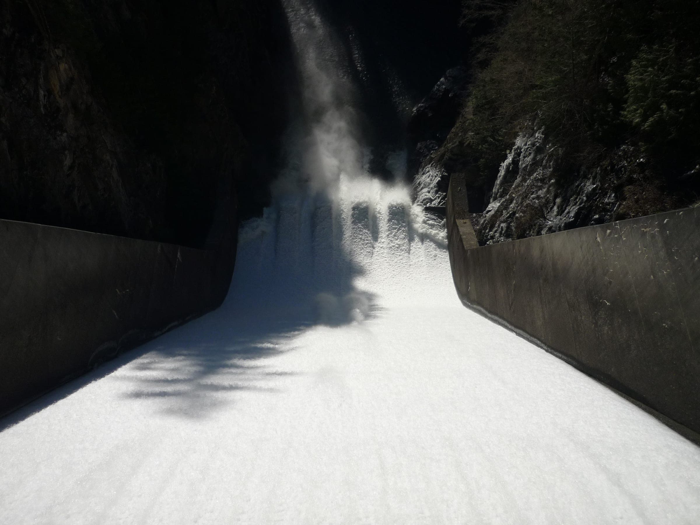
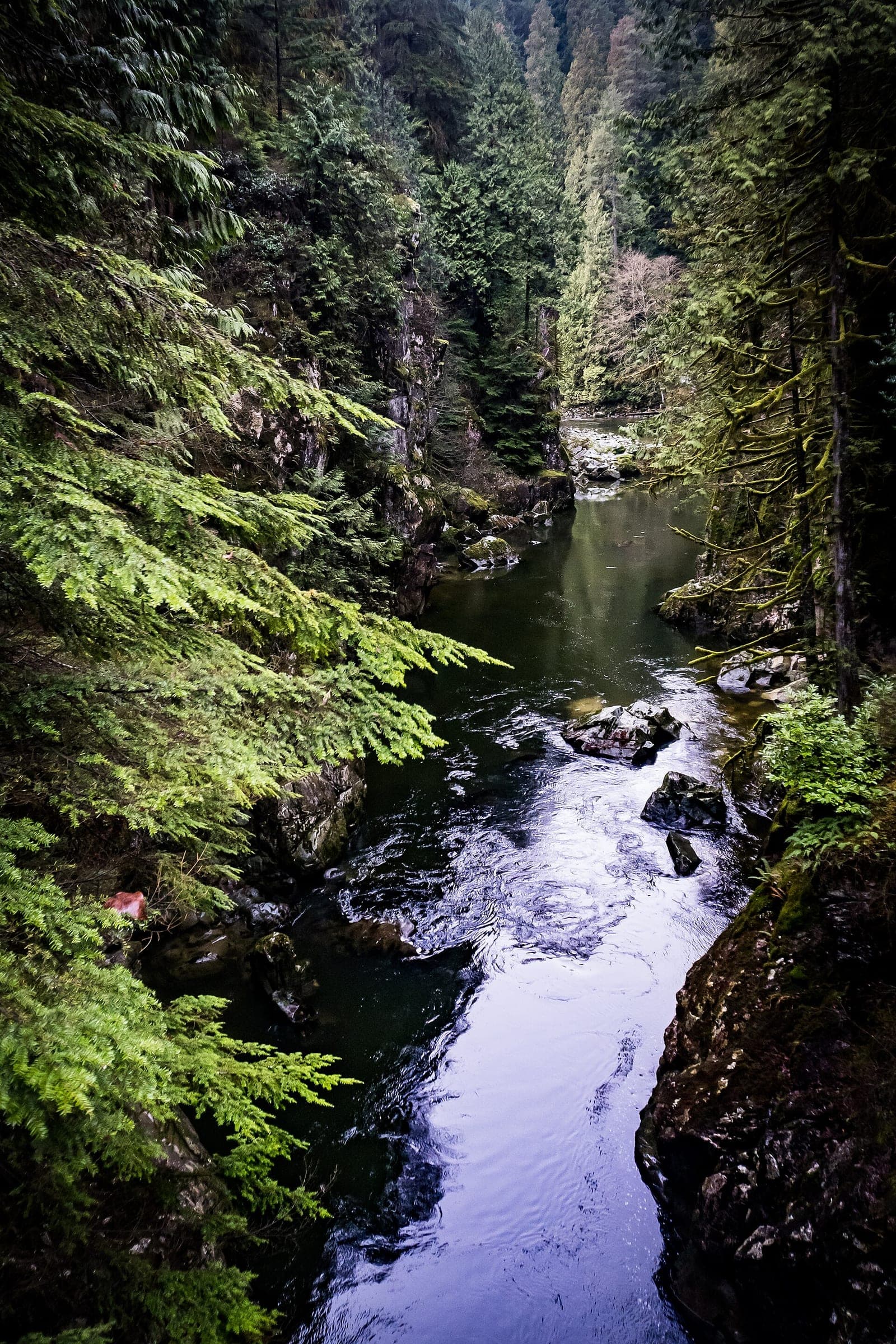
The Capilano River and Lynn Creek each cut a canyon into granite bedrock at the southern end of the Coast Mountains, by the Geological Survey of Canada's account of the North Shore canyons. Lynn Creek still runs free, so its gorge keeps changing with every winter flood. The Capilano has run below Cleveland Dam since 1954, and water released over the dam can raise it fast. You can see the Capilano canyon from a paid bridge or a free regional park, and the Lynn canyon costs nothing at all. Both rivers run cold and quick, and every land manager here tells you to stay out of the water.
This piece draws on the Lynn Canyon Ecology Centre's park history, the survey's North Shore canyons page as archived in 2006, Metro Vancouver's water and park pages, Fisheries and Oceans Canada's hatchery page and our own files on the three parks, read on 16 and 17 October 2026. We didn't visit either canyon for it.
How did Lynn Canyon form?
The Ecology Centre at Lynn Canyon Park says a crack in the ground likely started the canyon thousands of years ago, as the glaciers moved off the North Shore mountains. The creek has been cutting into it ever since. Over the last ten thousand years Lynn Creek has eroded the rock at less than a centimetre a year, by the Ecology Centre's figure.
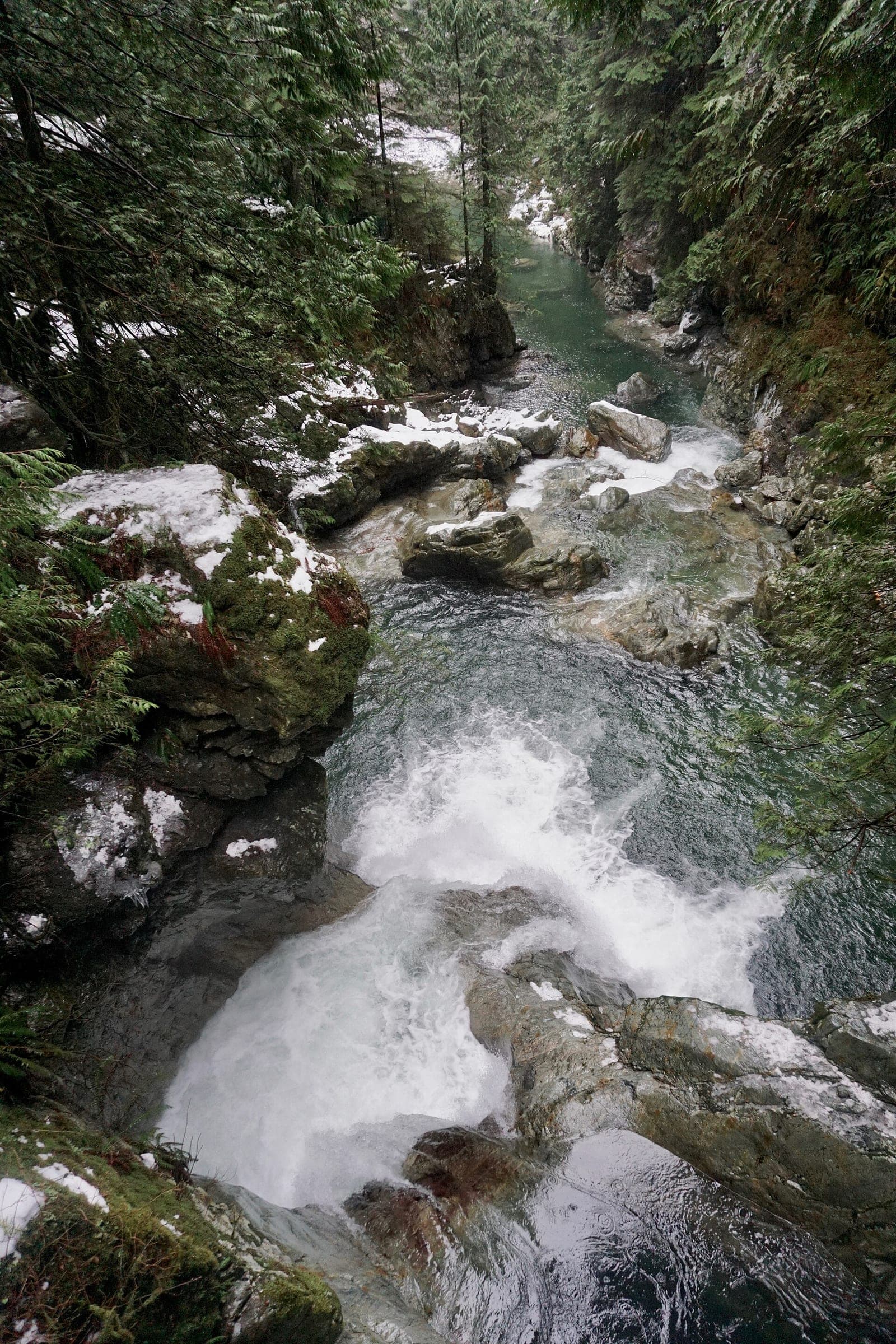
Most of that work happens in winter. The Geological Survey says the creek carves its pools and waterfalls mainly during winter floods, when debris tumbling down the channel scours the rock. Floodwater carries away the finer sand and gravel and leaves the big boulders behind, which is why big boulders fill the creek bed. Look at the rock on the canyon walls up close and you'll see the salt-and-pepper grain the survey describes, from grey feldspar, quartz, black mica and amphibole.
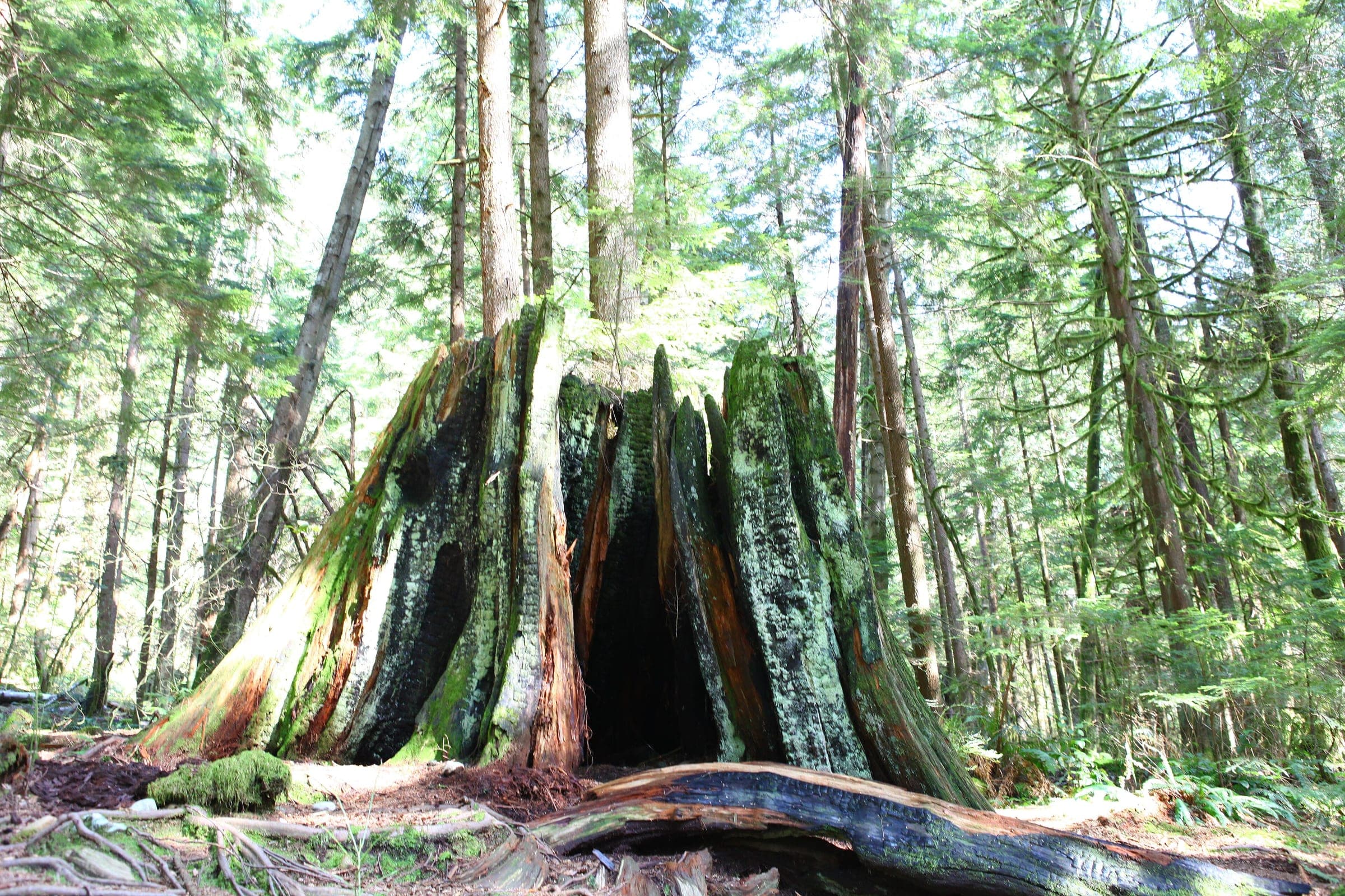
The forests above the canyon were logged before the park existed. In 1912 the McTavish brothers donated a 5-hectare piece of land around the newly built suspension bridge, and the park now covers 250 hectares of west coast rainforest. That first bridge was private and charged 10 cents a crossing. Today's bridge hangs about 50 metres above Lynn Creek, and it reopened on 22 December 2025 after crews replaced the boardwalk and stairs on its east approach.
Where do you see Lynn Creek at work?
Walk the Twin Falls loop. Cross the suspension bridge and turn right. The trail drops through the forest to Twin Falls Bridge, which crosses the creek above two waterfalls. The District's 2021 park map gives the loop 1 km and 35 minutes. Look down into the pool below Twin Falls, because it marks the farthest point salmon can swim up Lynn Creek. Turn left off the bridge instead and you reach Thirty Foot Pool in about 20 minutes, where the creek leaves its narrow canyon for a broader bed.
Upstream, Lynn Creek runs through Lynn Headwaters Regional Park, and the lower part of Metro Vancouver's easy Lynn Loop follows its bank. In October 2026 a damaged bridge on the loop's upper section is closed, so plan to walk back the way you came.
Lynn Canyon Park is free, and the Ecology Centre at the end of Peters Road asks for a donation. In winter it opens on weekdays from 10 am to 4 pm and on weekends from noon. The District charges $3 an hour in the main lot only from 1 March to 31 October. Without a car, ride the 228 from Bay 2 at Lonsdale Quay to Lynn Valley Road at Peters Road and walk 15 minutes down Peters Road. The park closes at dusk, so in December head back by mid-afternoon.
Why is the water in Lynn Canyon so dangerous?
Lynn Creek's pools hide rocks under the surface and strong currents, and the District of North Vancouver says the water is cold enough for hypothermia to set in very quickly, even in summer. It also warns that the water level can change fast. On 21 July 2025 the District said more than 40 people have died in Lynn Canyon over the last 50 years, and it strongly advises against cliff jumping. Admire the pools from the trail and stay behind the fences in every season.
Phones work near the Ecology Centre, the café and the bridge, and the signal drops in parts of the canyon. North Shore Rescue asks anyone walking farther in to leave a trip plan and carry its ten essentials.

What did Cleveland Dam change on the Capilano?
Cleveland Dam stands at the upstream end of the Capilano canyon, and the river cut that canyon into granite the same way Lynn Creek cut its own, by the Geological Survey's account. Metro Vancouver dates the dam to 1954. Behind it, Capilano Lake has filled the upper valley, and the Capilano watershed now supplies a third of the region's drinking water. The reservoir and its watershed are closed to the public, so the dam is as close as you get.
Below the dam the river rises and falls with the releases. Metro Vancouver warns that water let over Cleveland Dam can raise the Capilano fast, and a public warning system along the banks sounds and flashes alarms if a large release comes without notice. Metro Vancouver marks the park no swimming, and some of its trails run beside sheer drops on unstable slopes.
The map
The map marks every place this piece visits.
Contours come from Mapterhorn, and the coast and water from OpenStreetMap.
Where can you see the Capilano canyon for free?
Go to Capilano River Regional Park, which Metro Vancouver runs along the canyon below the dam. Stand on top of Cleveland Dam for the view north up Capilano Lake to the Lions on a clear day. The Second Canyon Viewpoint Trail drops below the dam to look back up at its face, and the path is wide and firm enough for a wheelchair. The Coho Loop Trail makes a 1 km circuit over the Cable Pool and Pipeline bridges with views straight down into the canyon.
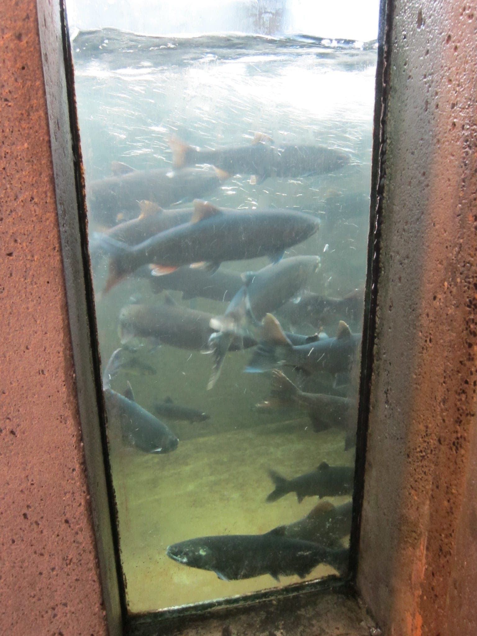
The salmon still come back up this river. Fisheries and Oceans Canada gives adult coho from June to November and chinook in October and November, and steelhead in March and April. The Capilano River Hatchery inside the park has been closed to visitors for construction since 1 October 2026, and Metro Vancouver is building a new viewing platform at Cable Pool, so expect delays on the Coho Loop this fall. Metro Vancouver opens the park from 7 am to 6 pm from 3 November to 31 December 2026.
What does Capilano Suspension Bridge Park show you of the canyon?
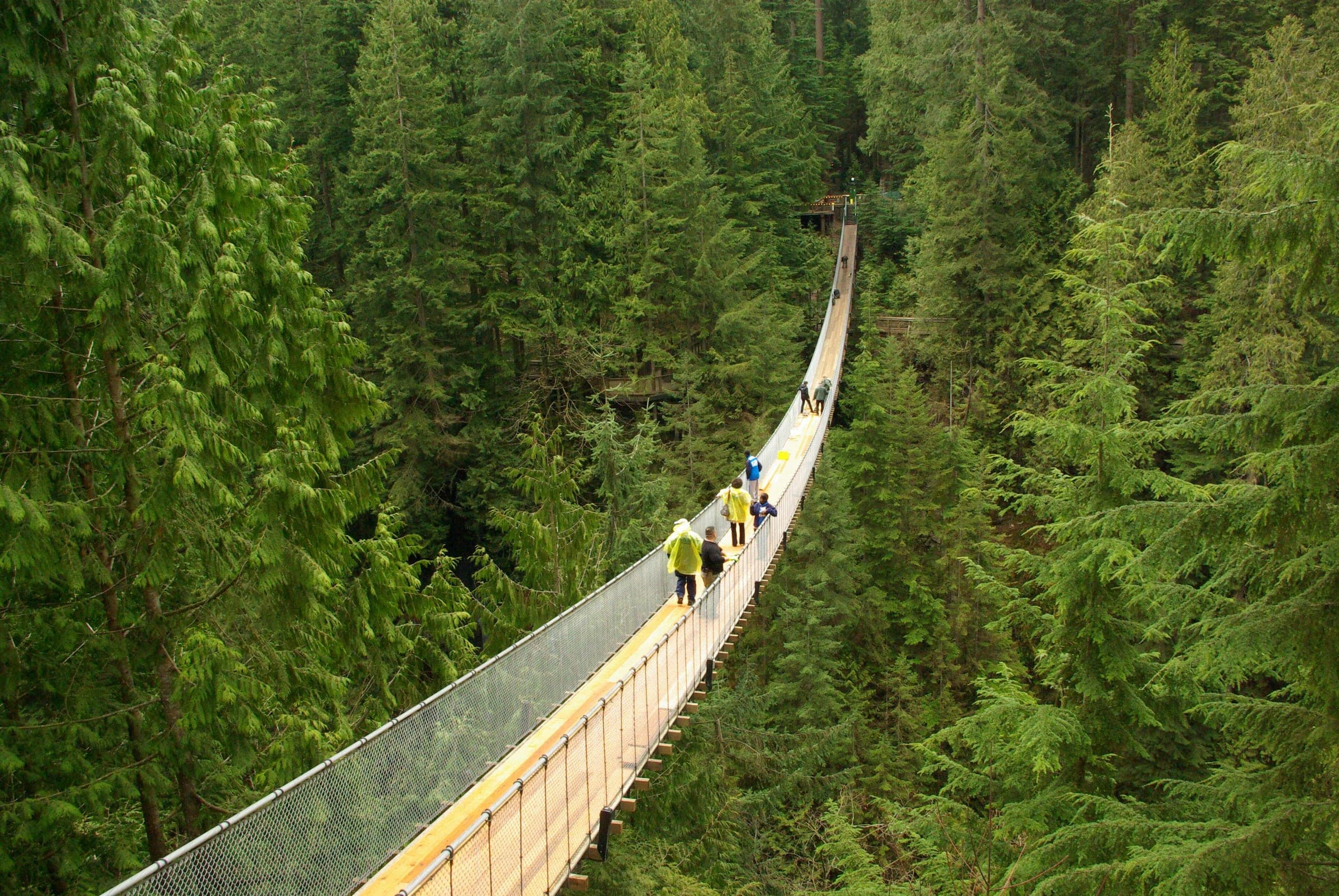
The paid park downstream of the dam puts you over the canyon and up against its walls. A bridge has crossed here since 1889, and today's span at Capilano Suspension Bridge Park runs 137 metres and hangs 70 metres above the Capilano River. Cliffwalk clings to the granite wall for 213 metres and stands about 90 metres above the canyon floor at its highest. Treetops Adventure strings seven small bridges between platforms up to 33 metres above the forest floor.
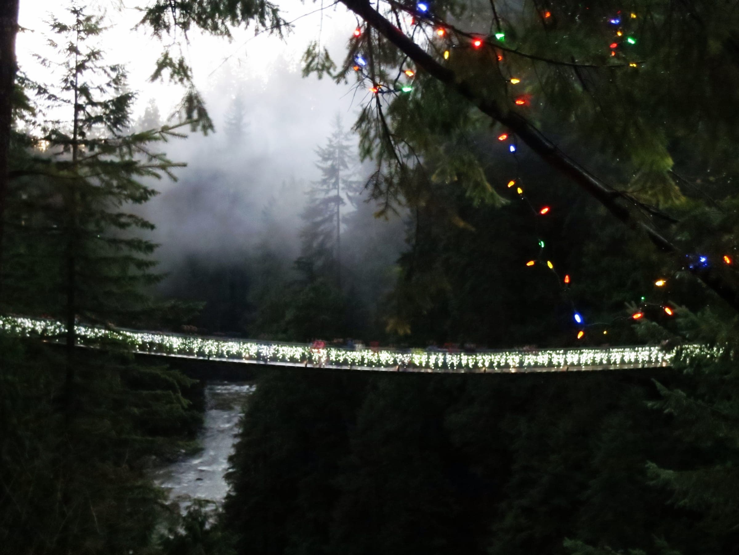
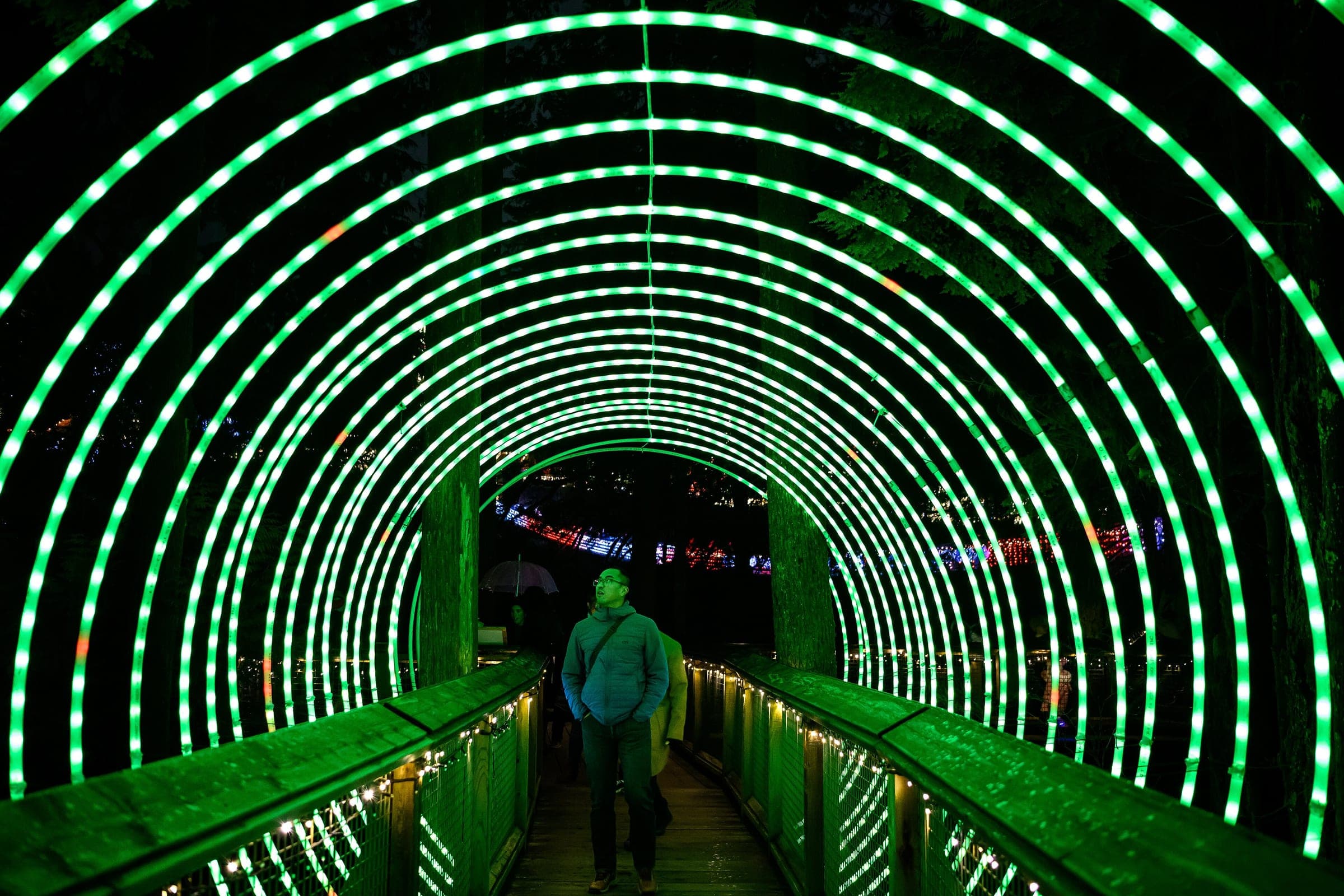
An adult pays $76.95 online in 2026 plus GST, or $79.95 at the window, and one timed ticket covers the whole park. The park puts an average visit at two to two and a half hours. From 20 November 2026 to 10 January 2027 Canyon Lights hangs lights across the canyon from the bridge up into the forest, and the park opens from 11 am to 9 pm every day except Christmas. Bus 236 from Bay 6 at Lonsdale Quay stops at the gate about 18 to 20 minutes in, and the park's free shuttle runs from Canada Place all year.
Our comparison of the two bridges sets the prices and the ways there side by side.
Quick answers
Is the Capilano canyon made by a glacier or a river?
The Capilano River cut its canyon into granite bedrock, according to the Geological Survey of Canada. Capilano Lake fills the valley upstream behind Cleveland Dam, which Metro Vancouver dates to 1954.
How was Lynn Canyon formed?
Lynn Canyon likely began as a crack in the ground when the glaciers moved off the North Shore mountains, the Lynn Canyon Ecology Centre says. Lynn Creek has eroded the rock at less than a centimetre a year over the last ten thousand years, mostly in winter floods.
Can you swim in Lynn Canyon or the Capilano River?
No. Metro Vancouver marks Capilano River Regional Park no swimming because releases from Cleveland Dam raise the river fast. The District of North Vancouver says more than 40 people have died in Lynn Canyon in 50 years and that its water is cold enough for hypothermia even in summer.
When do salmon run up the Capilano River?
Adult coho return up the Capilano River from June to November and chinook in October and November, by Fisheries and Oceans Canada's dates. Steelhead come back in March and April.
We write from operators’ and agencies’ own pages, open map data and published research, and we date every fact we check. How we research.
Sources (16)
- https://bac-lac.wayback.archive-it.org/web/20061102220332/http:/gsc.nrcan.gc.ca/urbgeo/vanrock/canyon_e.php
- https://ecologycentre.ca/park-history/
- https://ecologycentre.ca/trail-information/
- https://ecologycentre.ca/plan-your-visit/
- https://ecologycentre.ca/wp-content/uploads/2022/09/Lynn-Canyon-Park-Map-2021.pdf
- https://www.dnv.org/news/safety-reminder-cliff-jumping-at-lynn-canyon-park
- https://www.dnv.org/news/lynn-canyon-suspension-bridge-is-now-open
- https://metrovancouver.org/services/water/watersheds-reservoirs
- https://metrovancouver.org/services/regional-parks/park/capilano-river-regional-park
- https://www.pac.dfo-mpo.gc.ca/sep-pmvs/hatcheries-ecloseries/capilano-eng.html
- https://www.capbridge.com/tickets-and-hours/
- https://www.capbridge.com/park-attractions/
- https://www.capbridge.com/canyon-lights/
- https://infomaps.translink.ca/Public_Timetables/221/tt236.pdf
- https://infomaps.translink.ca/Public_Timetables/221/tt228.pdf
- https://www.northshorerescue.com/education/heading-outside/
Places in this piece



Read next
answer · 7 min read
Should you visit Capilano Suspension Bridge or Lynn Canyon in North Vancouver?
Capilano Suspension Bridge Park suits a first visit, because one ticket covers the higher bridge and the treetop walkways and its free shuttle runs from Canada Place. Lynn Canyon Park costs nothing to enter and gets you over the canyon and round a forest loop in about half an hour.
Feature · 8 min read
How does Vancouver's North Shore fit together between the mountains and the inlet?
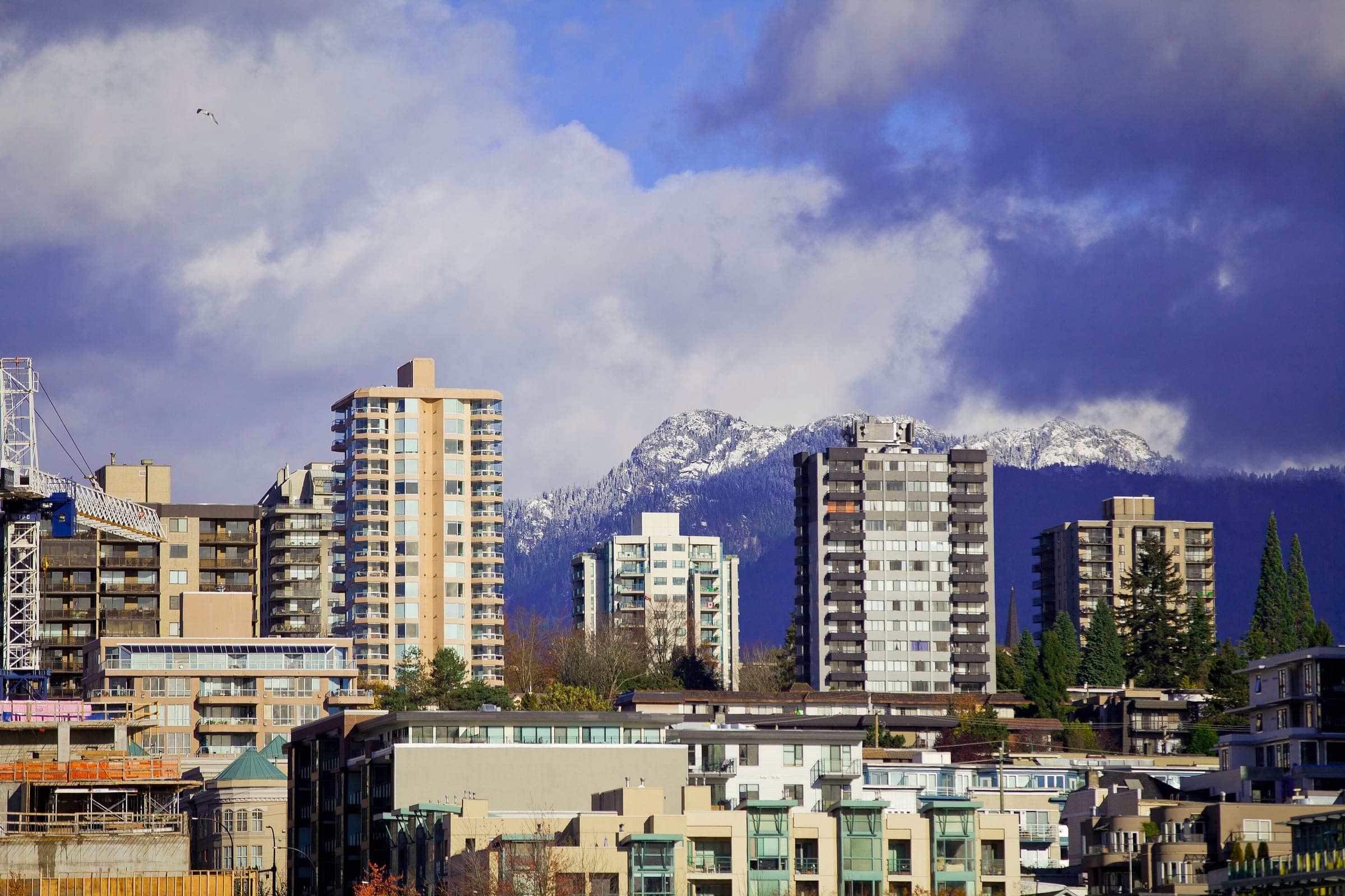
Every neighbourhood on Vancouver's North Shore sits on the same narrow shelf between Burrard Inlet and the mountains, and the rivers coming down off the slopes divide it into valleys. You cross it along the water and climb it up each valley.
Practical guide · 13 min read
What can you do on a rainy day in North Vancouver and Vancouver?
Ride the SeaBus to Lonsdale Quay and a wet morning at the Polygon Gallery and MONOVA costs an adult $15 and a donation, with the Food Hall open until 9 pm.