St. Marks Summit
49°24′ N 123°12′ W
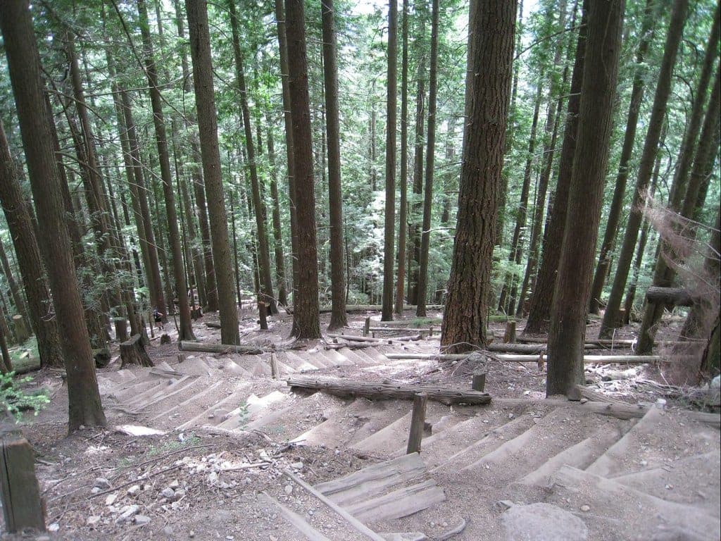
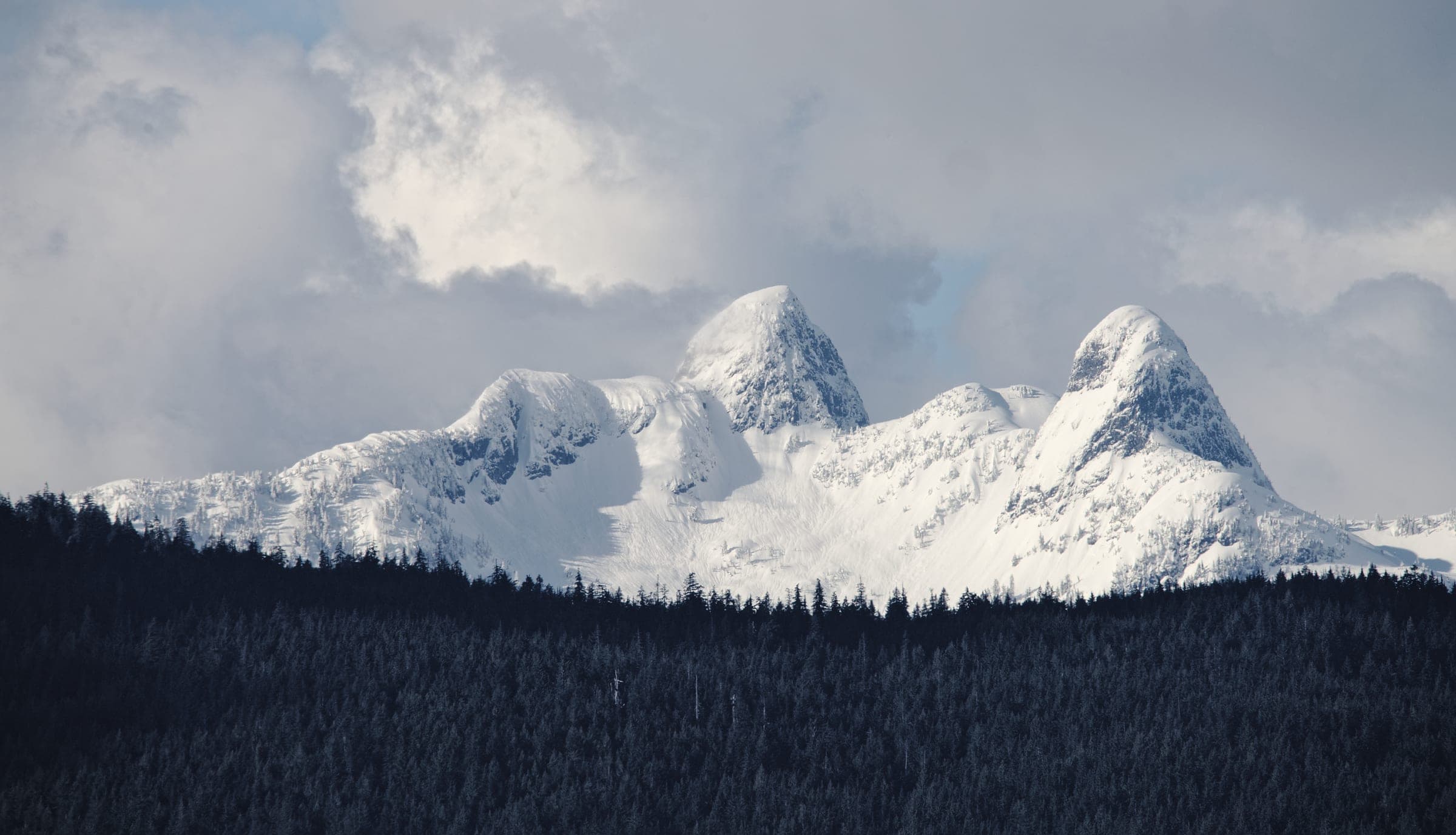
St. Marks Summit in Cypress Provincial Park suits fit day hikers who want a long forest climb from the Cypress ski area in West Vancouver along the Howe Sound Crest Trail to views over Howe Sound. BC Parks calls the trail rough past the 2 km mark and strongly discourages winter travel beyond Bowen Lookout, so save it for the snow-free months.
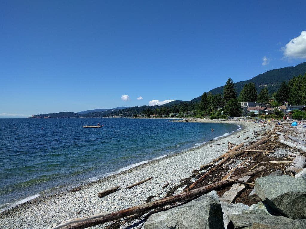
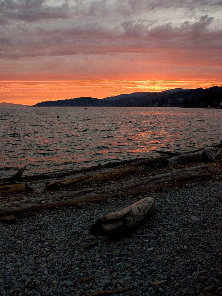
Photo keepitsurreal · Flickr · CC BY-SA 2.0 and others, credited in the gallery
Field card · Hike · No. 015 · checked 16 Oct 2026
Fill your bottles at the ski area before you set off.
Is it for you?
St. Marks Summit gives a fit summer hiker a long, rough day with a view over Howe Sound at the end.
You’ll love St. Marks Summit if
- You've done Dog Mountain or the BCMC and want a longer mountain day.
- You're hiking in the snow-free months and can start early.
Think twice if
- It's winter, when BC Parks strongly discourages the trail past Bowen Lookout.
- You don't have a car, since BC Parks mentions the Cypress Coach Lines bus only for the ski season.
Pick the right months for this hike
From 1 November to 31 May, BC Parks routes backcountry users through the ski area on its backcountry access corridor, and it strongly discourages winter travel past Bowen Lookout because of avalanche terrain and other serious hazards. St. Marks belongs to the snow-free part of the year. BC Parks' Howe Sound Crest Trail map warns hikers to expect cold and fog even in summer.
Plan how you get back down
Most hikers return from St. Marks Summit the way they came. The Howe Sound Crest Trail carries on north for a total of 29 km one way to Porteau Road near Highway 99, and BC Parks says only experienced, well-equipped backcountry hikers should go that far.
Know what catches hikers out here
- BC Parks' trail report calls the Howe Sound Crest Trail difficult and rough past the 2 km mark, and it says hikers often underestimate the time and energy it takes.
- Cell service is unreliable or non-existent on most of the trail, BC Parks says, so carry another way to navigate and to call for help.
- If mist and fog close in and you lose your way, BC Parks says to stay where you are until the weather clears or someone finds you, and never leave the trail.
- Creeks without bridges can be hard or impossible to cross after heavy rain, so stay on your side if in doubt.
- BC Parks lists no reliable water between Strachan Meadows and Magnesia Meadows, so carry everything you'll drink.
Give the wildlife room
BC Parks' August 2026 trail report says bears are common in Cypress Park, and it asks hikers to carry bear spray and never approach or feed wildlife. Cougars have been seen now and then, and coyotes and deer often turn up near the access road. Feeding bears, cougars, coyotes or wolves is an offence under BC's Wildlife Act.
Follow North Shore Rescue's advice
North Shore Rescue answers about 130 calls a year. Before a day on the Howe Sound Crest Trail, leave a trip plan with someone you trust and carry the ten essentials. BC Parks suggests AdventureSmart's trip plan tool for the plan. Start early and set a turnaround time, because BC Parks asks every hiker to leave enough time to get back before dark. If you're lost or hurt, call 911 right away, since North Shore Rescue charges nothing.
The Howe Sound Crest Trail starts near the bottom of the Lions Express chairlift at the Cypress Mountain alpine ski area. Look for it about 25 metres north of the BC Parks kiosk in front of Cypress Creek Lodge. From there it heads north along the western slope of Mount Strachan. BC Parks' trail report names St. Marks Summit as the first of the trail's popular destinations, ahead of Unnecessary Mountain. BC Parks says the park's northern section follows this trail and looks out over Howe Sound and the Salish Sea.
BC Parks publishes no distance or time for St. Marks itself. Its trail report warns that the route turns difficult and rough after the 2 km mark and that hikers often underestimate the time and energy it needs. Give yourself the whole day and pick a turnaround time before you start.
BC Parks created Cypress Park in 1975 and added the Howe Sound Crest Trail in 1982. The trail runs 29 km one way to Porteau Road, and its map warns of cliffs and exposed ridgelines farther north, where the orange markers become intermittent past The Lions. Bikes, drones and campfires are banned along it, and so are alcohol and dogs off leash. Camping is allowed only north of Strachan Meadows.
Parking is free all year in Lot 3B and on the designated road shoulder south of it, and from 1 November to 31 May Cypress Mountain Resort may charge in its other lots. Cypress Park needs no BC Parks day-use pass. Check BC Parks' Cypress trail report before you go, since its last update came on 21 August 2026.
Worth knowing
- Start early and set a turnaround time, because BC Parks says hikers often underestimate this trail.
- Carry bear spray, as BC Parks advises for Cypress Park.
- Fill your bottles before you leave the ski area, since BC Parks lists no reliable water between Strachan Meadows and Magnesia Meadows.

Quick answers about St. Marks Summit
Can you hike St. Marks Summit in winter?
BC Parks strongly discourages it. St. Marks Summit lies on the Howe Sound Crest Trail past Bowen Lookout, where BC Parks warns of avalanche terrain and other serious hazards in winter.
Where does the St. Marks Summit hike start?
The St. Marks Summit hike starts on the Howe Sound Crest Trail near the bottom of the Lions Express chairlift at the Cypress Mountain alpine ski area. The trailhead sits about 25 metres north of the BC Parks kiosk in front of Cypress Creek Lodge.
Do you need a day-use pass for St. Marks Summit?
No. BC Parks requires no day-use pass at Cypress Park, and parking in Lot 3B is free all year.
Are dogs allowed on the St. Marks Summit trail?
Yes, on a leash. BC Parks requires dogs on leash at all times on the Howe Sound Crest Trail, and it says the backcountry isn't suitable for pets.
Within 12 km
Hikes nearby



Within 12 km
Sights nearby




Within 12 km