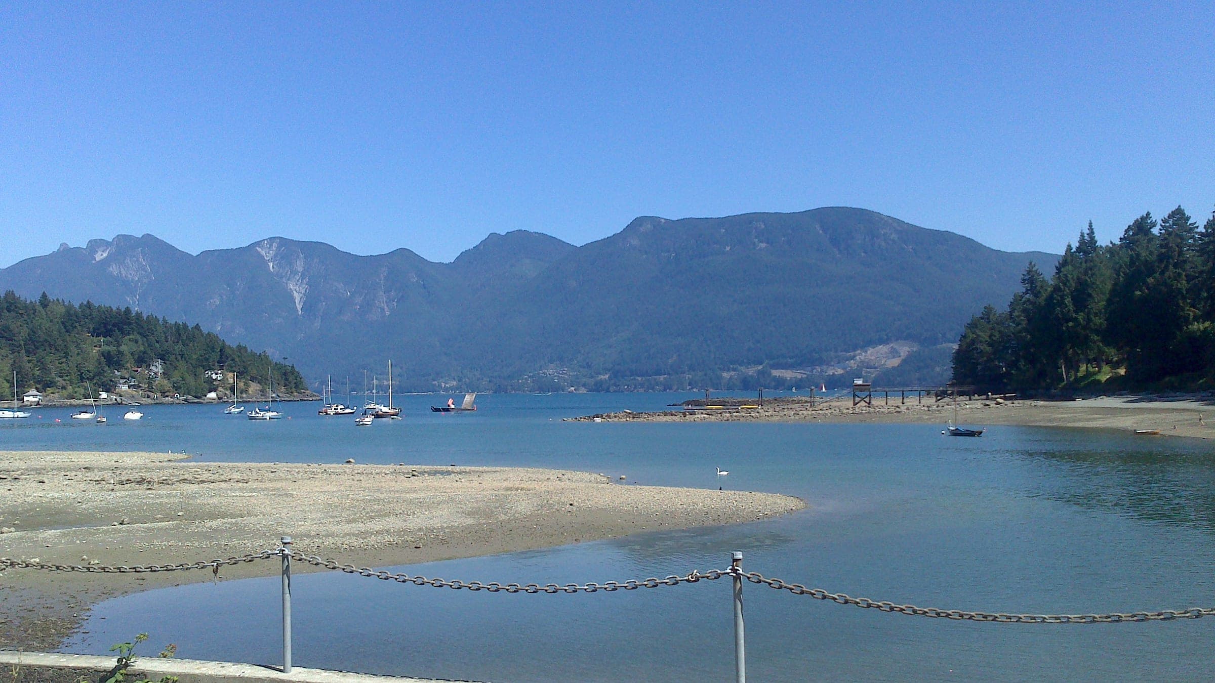
Mount Gardner
49°23′ N 123°22′ W17 km
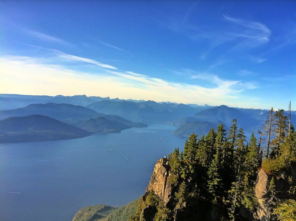
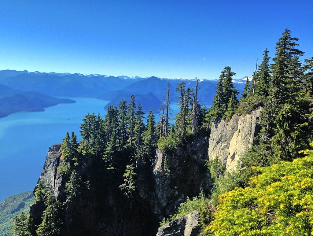
Mount Gardner suits hikers who want a full climb they can reach on foot from the Bowen Island ferry, with two helicopter platforms at the north summit looking toward Vancouver and the Sunshine Coast. The trade-off is a long day, since Tourism Bowen Island tells you to budget five to seven hours for the round trip from the ferry terminal.
Photo Guilhem Vellut from Annecy, France · Wikimedia Commons · CC BY 2.0 and others, credited in the gallery
Field card · Hike · No. 011 · checked 16 Oct 2026
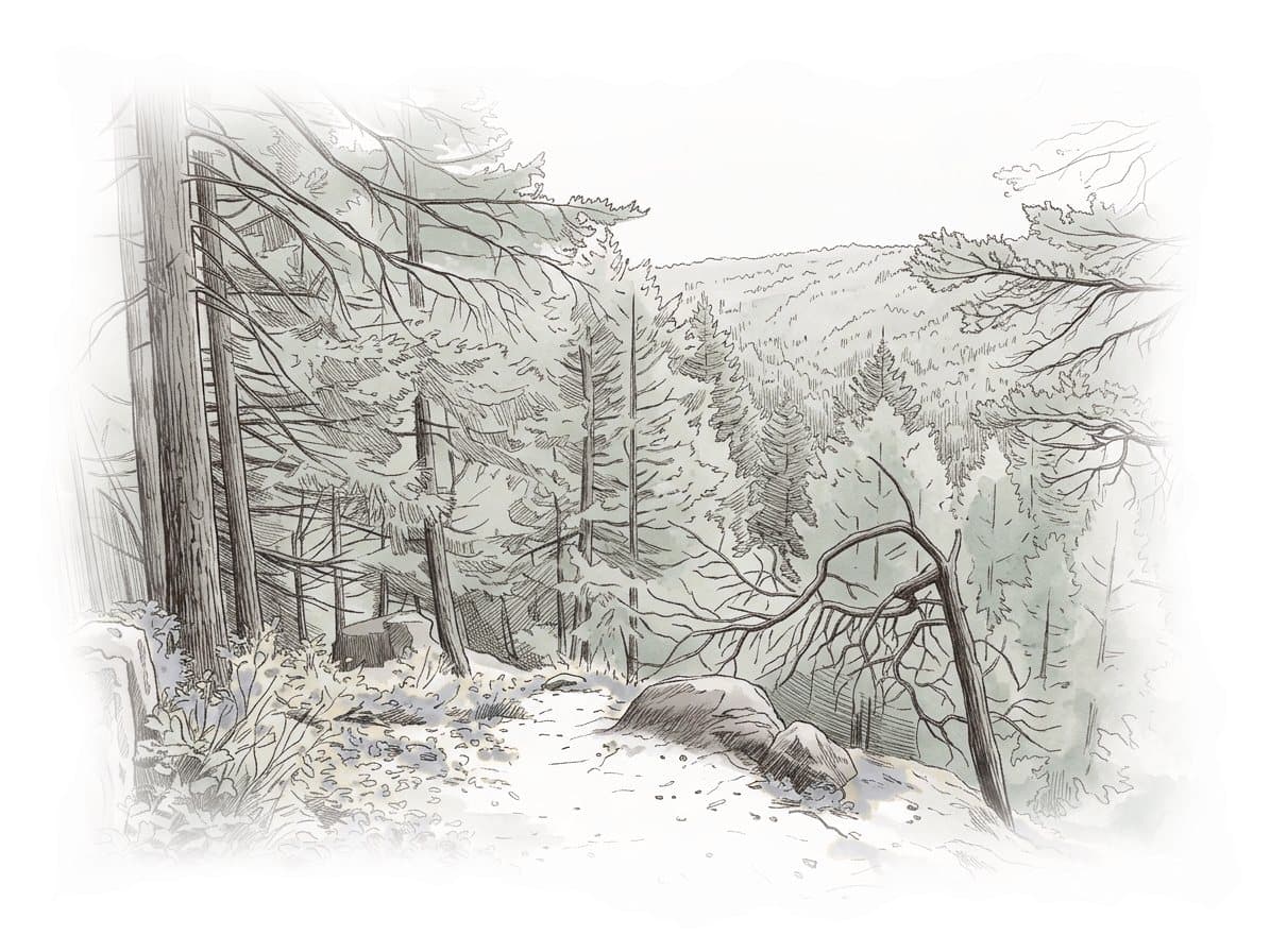
Budget five to seven hours from the ferry and back.
Is it for you?
Mount Gardner gives a full island day to hikers who like to arrive by ferry, with a forest climb to two summit platforms.
You’ll love Mount Gardner if
- You want a big hike without a car, starting from the Snug Cove ferry dock.
- You like a route that climbs one side of a mountain and comes down the other.
Think twice if
- You don't have five to seven hours for the round trip from the ferry.
- You want a short walk off the boat, when Crippen Regional Park's lake loop fits better.
Pick the right months for this hike
Recreation Sites and Trails BC listed the Mount Gardner Trails as open with no advisories on 16 October 2026 and publishes no seasonal closure.
Know what catches hikers out here
- Tourism Bowen Island calls the hike challenging and the Bowen Island Trail Society describes its trails as technical, so wear boots with grip.
- Many routes cross the mountain from three trailheads, so carry the trail society's current map and check it at every junction.
- The Bowen Island Trail Society asks for no fires at all on the mountain.
Give the wildlife room
Bowen Island Municipality's wildlife page says a cougar lives on the island and that a black bear or coyote turns up now and then. WildSafeBC says never to run from a cougar. Back away slowly while you make yourself look as large as you can, and pick up small children at once. Feeding or attracting dangerous wildlife is an offence under section 33.1 of BC's Wildlife Act.
Follow North Shore Rescue's advice
Call 911 as soon as you're lost or hurt, and read out your coordinates before your battery fades. North Shore Rescue asks every hiker to leave a trip plan with someone reliable and to carry the 10 essentials, headlamp first. Lions Bay Search and Rescue reminds hikers that rescue costs nothing in British Columbia.
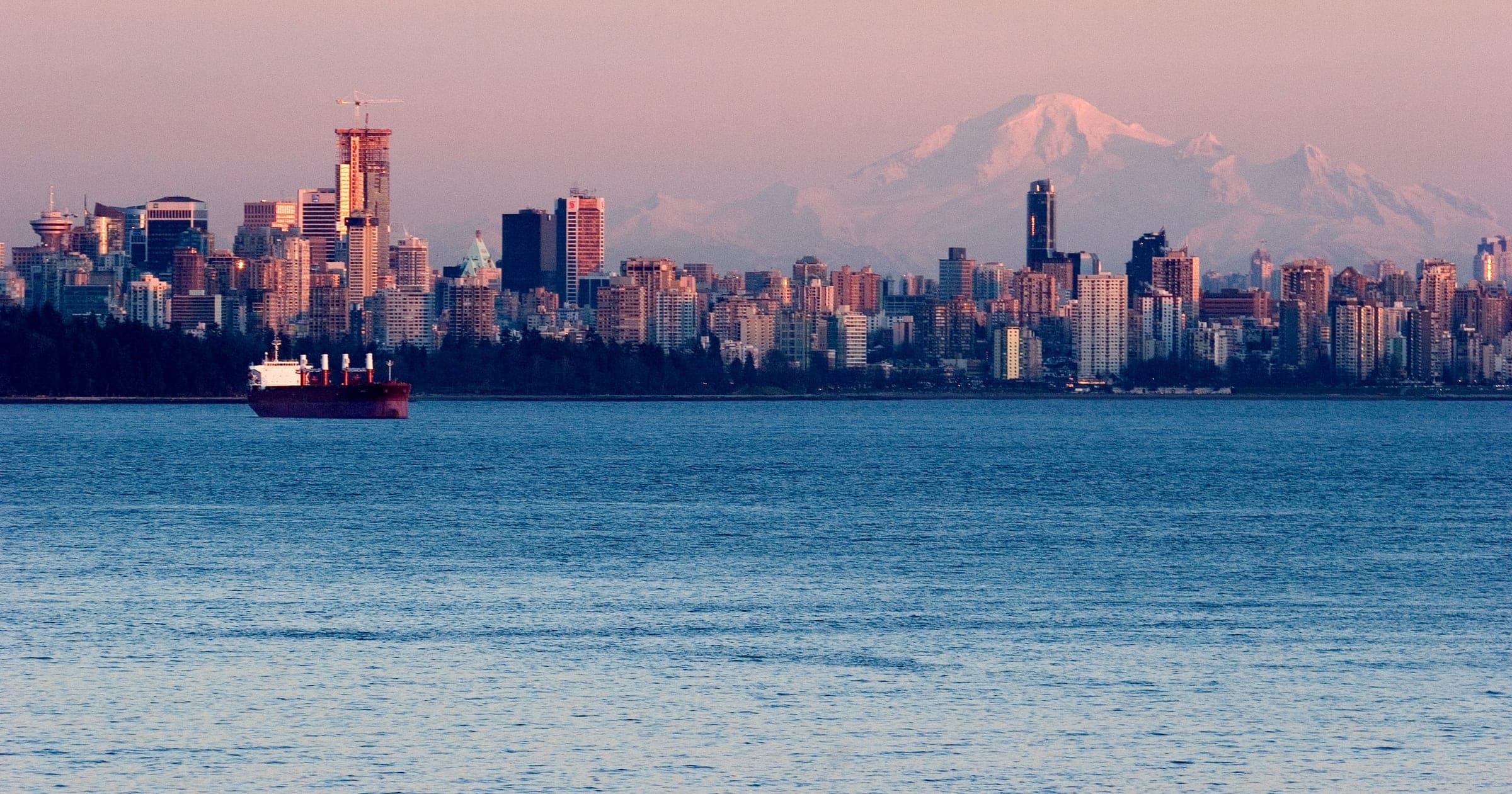
Mount Gardner is the highest point on Bowen Island, at 719 m by Tourism Bowen Island's figure. Recreation Sites and Trails BC lists the Mount Gardner Trails as a 17 km provincial recreation trail through second-growth forest, and the Bowen Island Trail Society, which maintains them, describes a technical trail system. At the north summit one helicopter platform faces south over Vancouver, with Mount Baker showing on a clear day, and the other looks north to the Sunshine Coast.
The BC Ferries boat from Horseshoe Bay lands at Snug Cove, and Recreation Sites and Trails BC puts the main trailhead about 3 km from the terminal at Bowen Pit Road, off Mount Gardner Road by Killarney Lake. On Saturdays, Sundays and holidays TransLink's 282 leaves Snug Cove at 9:20 am and reaches Mt Gardner Rd at Killarney Lake five minutes later, and its last trip back passes the lake at 7:15 pm on the timetable effective 7 September 2026. Tourism Bowen Island lists the daily 280 as another way to the trailheads. With three trailheads on the mountain, you can climb one side and come down the other.
Bowen Island lies in the traditional territory of the Sḵwx̱wú7mesh Úxwumixw (Squamish Nation), whose land page takes in every island in Howe Sound. The mountain itself sits on about 1,450 hectares of Crown land that Bowen Island Municipality counts across Mount Gardner and its neighbours. Tourism Bowen Island points hikers to the Bowen Island Trail Society's PDF map as the most current guide, so download it before you lose signal.
Worth knowing
- Use the toilets at the Snug Cove ferry terminal or Metro Vancouver's Killarney Lake picnic area before you start, because Recreation Sites and Trails BC lists none on the trails.
- Carry your water and food from Snug Cove, as Tourism Bowen Island advises for this climb.
- The Bowen Island Trail Society asks for no fires at all on the mountain and for everything you carry in to come back out.
- Pack a headlamp even on a short autumn day. North Shore Rescue says lack of light is the main cause of its overdue-hiker callouts.
Quick answers about Mount Gardner
How long does it take to hike Mount Gardner?
Tourism Bowen Island says to budget five to seven hours if you walk from the ferry terminal and back. Taking the 282 bus or a car to the trailhead by Killarney Lake saves the walk of about 3 km each way from the ferry.
Can you hike Mount Gardner without a car?
Yes. Walk onto the BC Ferries boat from Horseshoe Bay to Snug Cove, then walk about 3 km to the trailhead at Bowen Pit Road or ride TransLink's 282 on weekends and holidays to Mt Gardner Rd at Killarney Lake.
Are dogs allowed on Mount Gardner?
Yes. Recreation Sites and Trails BC posts no dog rule for the Mount Gardner Trails, and the Bowen Island Trail Society asks owners to keep dogs close. Metro Vancouver requires a leash in Crippen Regional Park, which the walk from the ferry crosses.
Can you get to Mount Gardner by bus?
Yes. The 282 stops at Mt Gardner Rd at Killarney Lake.
Within 12 km
Hikes nearby
Within 12 km
Sights nearby


Within 12 km