Duffey Lake Road
50°21′ N 122°25′ WATES Challenging terrainGuide recommendedSeasonal
The Duffey Lake Road east of Pemberton suits experienced ski tourers who want a hut base under Joffre Peak, because Keith's Hut sits at 1,650 m at the foot of the Anniversary Glacier, and the trade-off is a landslide-scarred approach up Cerise Creek with avalanche paths overhead and no cell service.
Trail closure
BC Parks keeps people out of the Cerise Creek slide path
Two landslides off Joffre Peak tore through the Cerise Creek watershed in May 2019. BC Parks still bars the public from the immediate slide path and marks it in red on the conservancy's closure map. One temporary route crosses the middle of the slide track. It's unmaintained and undesignated, so keep your time in the path short. Keith's Hut sits outside the closure, and the rest of the Nlháxten/Cerise Creek Conservancy is open.
Checked 2026-10-17 · bcparks.ca
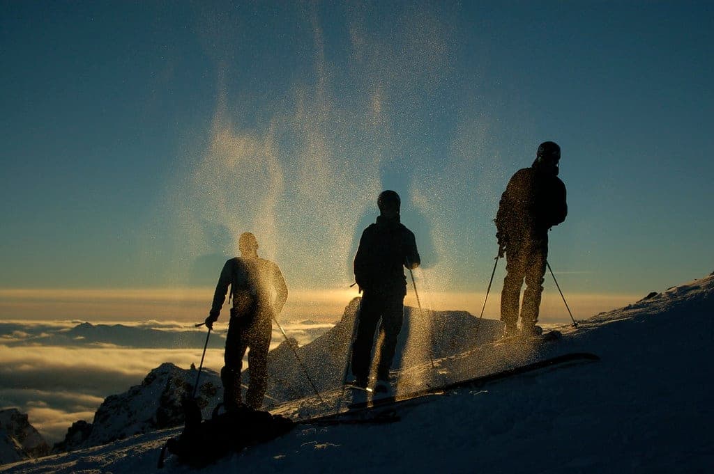
Photo Tim Gage · Wikimedia Commons · CC BY-SA 2.0 and others, credited in the gallery
Field card · Backcountry zone · No. 004 · checked 16 Oct 2026
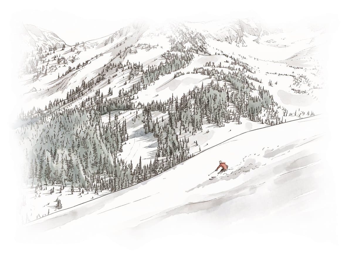
Carry a satellite messenger, as the park has no cell service.
Read the terrain
Cerise Creek climbs south from the Duffey Lake Road into the Nlháxten/Cerise Creek Conservancy, and Keith's Hut sits near the foot of the Anniversary Glacier under Joffre Peak and Mount Matier. The older Canadian Avalanche Association list rated the trip up Cerise Creek to the hut challenging, saying the valley-bottom route runs under several large avalanche paths and through a terrain trap in the creek. Avalanche Canada's Trip Planner puts the hut itself in a simple zone and fills most of its Joffre Cerrise area with complex zones, and both Joffre Peak and Vantage Peak fall inside them.
Gate rules
- Public access is banned within the immediate slide path in the Nlháxten/Cerise Creek Conservancy, marked in red on BC Parks' closure map. The rest of the conservancy is open, and Keith's Hut sits outside the closure.
- Keith's Hut takes no bookings and works first come, first served. The Keith Flavelle Memorial Hut Society asks for donations, sets a minimum of $20 a person a night for large groups and discourages guided parties.
- Dogs and other pets are prohibited in Joffre Lakes Park.
- Campfires are banned in Joffre Lakes Park all year, and the firewood at Keith's Hut is for the stove only.
Watch for these hazards
- In May 2019 two landslides off Joffre Peak tore through the Cerise Creek watershed. BC Parks bans public access within the immediate slide path and allows one unmaintained, undesignated temporary route across the middle of the slide track, where you keep your time in the path short.
- The old Cerise Creek valley route passes under several large avalanche paths and through a terrain trap in the creek, by the Canadian Avalanche Association list's description.
- BC Parks says Joffre Lakes Park has no cell service and no emergency services nearby.
- BC Parks warns that anyone visiting the Nlháxten/Cerise Creek Conservancy from fall to spring will be exposed to avalanche terrain, and it recommends formal avalanche training first.
- The exposed traverse beneath the south-east face of Joffre Peak is the crux of the Anniversary Glacier route, by the Canadian Avalanche Association list's description.
Pick a route that suits the day
Cerise Creek to Keith's Hut
Challenging terrain
The old summer and winter trails both started at a pullout on the Duffey Lake Road and crossed Cayoosh Creek before climbing Cerise Creek, until the 2019 landslides wiped them out. BC Parks now allows one unmaintained temporary route across the middle of the slide track, and the older Canadian Avalanche Association list rated the trip to the hut challenging.
Vantage Peak by the south-west ridge
Challenging terrain
From Keith's Hut the south-west ridge leads to Vantage Peak at 2,235 m. The older Canadian Avalanche Association list rated it challenging, and Avalanche Canada's Trip Planner puts the summit in a complex zone.
Anniversary Glacier to the Matier and Joffre col
Complex terrain
The route climbs from Keith's Hut to the col between Mount Matier and Joffre Peak. The older Canadian Avalanche Association list rated it complex and named the exposed traverse beneath the south-east face of Joffre Peak as the crux.
Joffre Lakes
Challenging terrain
The Joffre Lakes trail climbs about 400 m from the park lot to Upper Joffre Lake, and the older Canadian Avalanche Association list rated the winter trip challenging.
North Joffre Creek horseshoe
Complex terrain
This horseshoe circles North Joffre Creek. The older Canadian Avalanche Association list rated it complex for the large convex slope north-east of Saxifrage Peak and the steep slopes up and over the shoulder of Cirque Peak.
Mount Rohr
Challenging terrain
Mount Rohr rises to 2,423 m north of the highway, and the older Canadian Avalanche Association list rated it challenging. Avalanche Canada's Trip Planner maps it inside its Marriott Basin area.
See the terrain in 3D
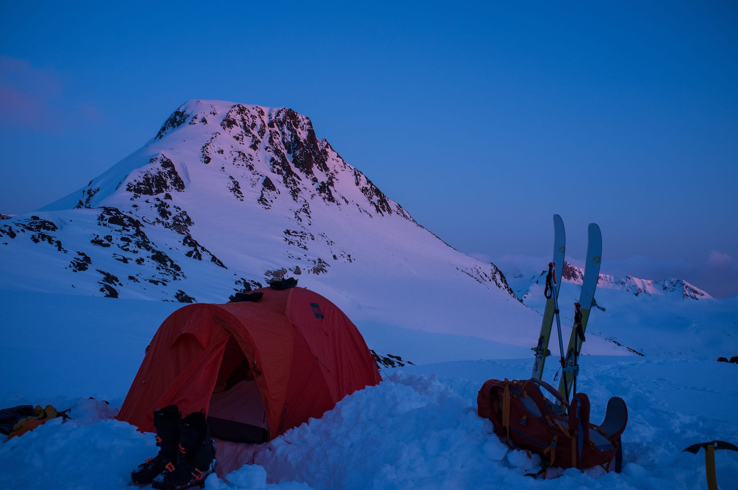
Keith's Hut sits at 1,650 m near the foot of the Anniversary Glacier, and the hut society flies its firewood in by helicopter. Friends and family of Keith Flavelle built it in his memory after he died in a climbing accident on Mount Logan, and they still run a work party every September. There is no booking system, so the VOC suggests bringing a tent or digging a snow cave in case the bunks are full.
The approach changed in May 2019, when two landslides off Joffre Peak buried the Cerise Creek watershed and wiped out both the summer and the winter trails. BC Parks reopened most of the Nlháxten/Cerise Creek Conservancy in December 2020 and still bans entry to the immediate slide path. One unmaintained temporary route crosses the middle of the slide track, and BC Parks asks you to cross it quickly. The Canadian Avalanche Association list described the valley route as running under several large avalanche paths and through a terrain trap in the creek.
Joffre Lakes Park next door lies within the unceded territories of the Líl̓wat Nation and N'Quatqua, as the Líl̓wat Nation's Political Chief says on BC Parks' page. BC Parks developed the park's visitor use management strategy in partnership with the two Nations, and it posts the park's periodic summer closures in its advisories. BC Parks says local First Nations historically used the conservancy "for cultural, ceremonial and spiritual practices" and that culturally modified trees and rock art are present, so leave every tree and rock as you find it.
Worth knowing
- Leave a trip plan with someone at home with your route, your group, your hut night and your return time, plus when they should call 911. AdventureSmart's free planner is at adventuresmart.ca.
- North Shore Rescue's ten essentials apply here too, with a headlamp first, and add a satellite messenger because the park has no cell service.
- Avalanche Canada sets AST 1 at two days or more and lists licensed providers at avalanche.ca/training/courses. BC Parks recommends formal avalanche training before any winter visit to Cerise Creek.
- Check the Nlháxten/Cerise Creek Conservancy page for BC Parks' closure map before you go, and stay out of the area outlined in red.
Quick answers about Duffey Lake Road
Is Cerise Creek closed after the Joffre Peak landslides?
Part of it is. BC Parks bans public access within the immediate slide path and allows one unmaintained temporary route across the middle of the slide track, and the rest of the Nlháxten/Cerise Creek Conservancy reopened in December 2020.
Can you book Keith's Hut?
No. Keith's Hut works first come, first served, and the Keith Flavelle Memorial Hut Society asks for donations, with a minimum of $20 a person a night from large groups.
Is there cell service on the Duffey Lake Road backcountry?
BC Parks says Joffre Lakes Park has no cell service and no emergency services nearby, so carry a satellite messenger or another way to call 911.
What ATES rating does Keith's Hut have?
The trip up Cerise Creek to Keith's Hut is rated challenging on the older Canadian Avalanche Association list. Avalanche Canada's Trip Planner puts the hut in a simple zone surrounded by complex terrain.
Are dogs allowed at Joffre Lakes in winter?
No. BC Parks prohibits dogs and other pets in Joffre Lakes Park year-round to protect its wildlife and fragile ecosystems.
How long is a tour on Duffey Lake Road?
A typical tour on Duffey Lake Road climbs the VOC puts Keith's Hut at 1,650 m. No land manager publishes a height gain for the winter approach since the 2019 landslides took out the old trails.
How do you get to the Duffey Lake Road trailhead?
The Cerise Creek pullout on the Duffey Lake Road (Highway 99) east of Joffre Lakes trailhead is about 4 hr 20 min by car from Horseshoe Bay ferry terminal in winter, 171.4 km on the road.
Within 80 km
Backcountry zones nearby

Within 35 km

